The best hikes in Lewis County
Washington · 134 HiiKER Hikes
View Hikes on map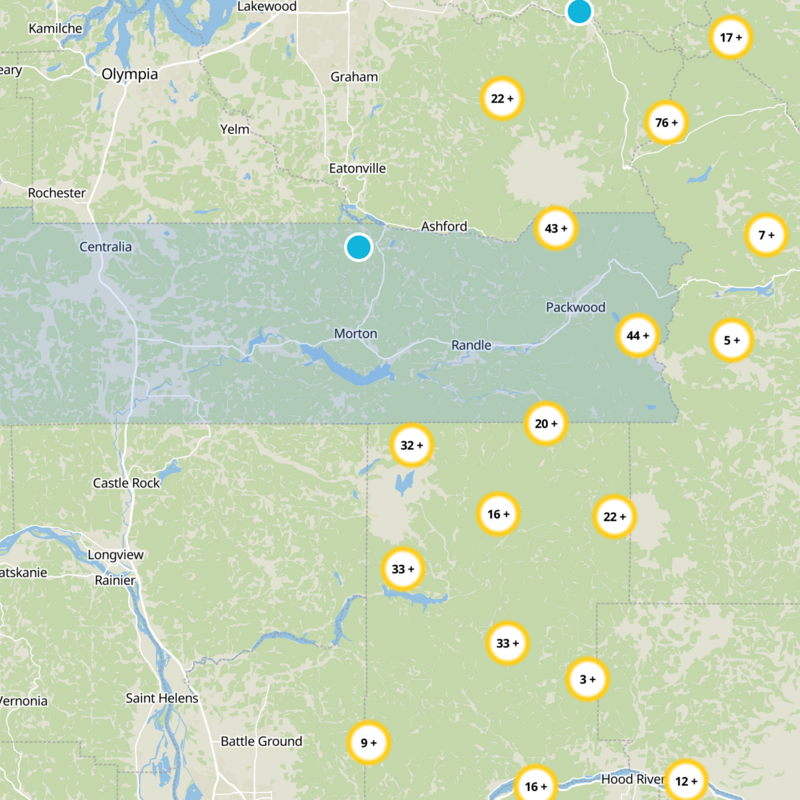
What to expect
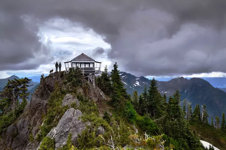
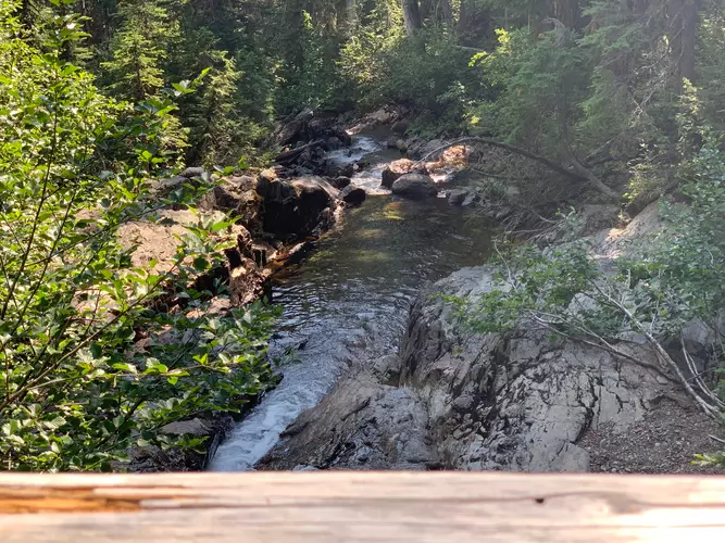
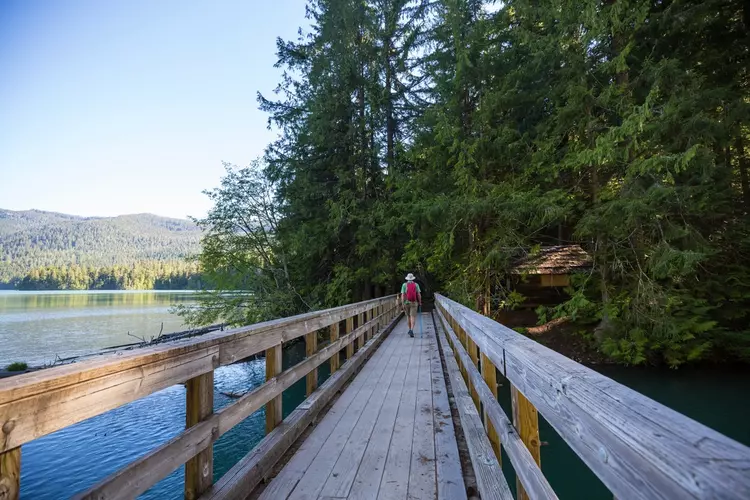
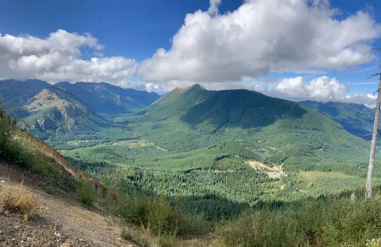
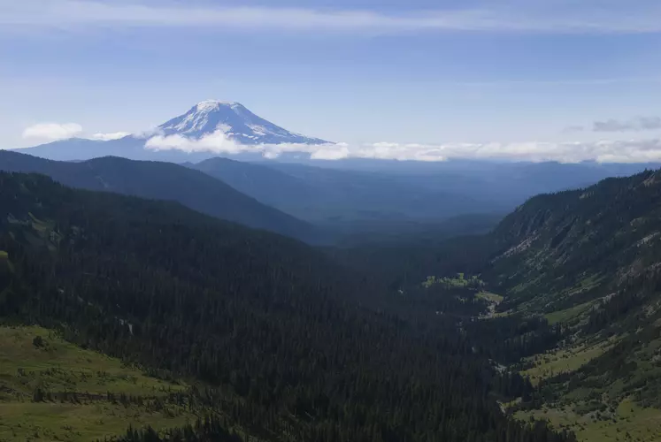
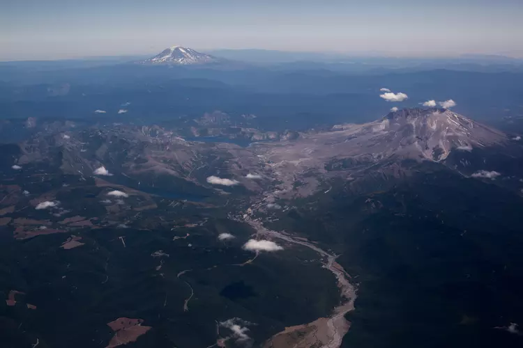
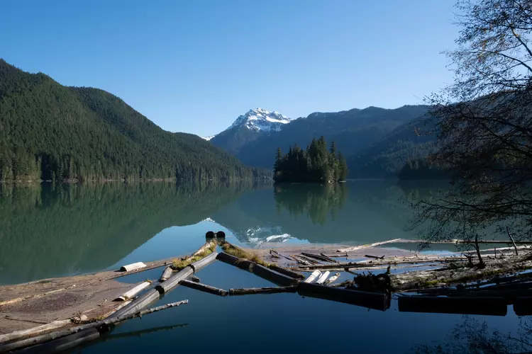
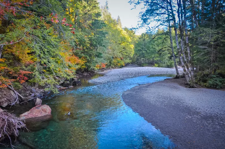
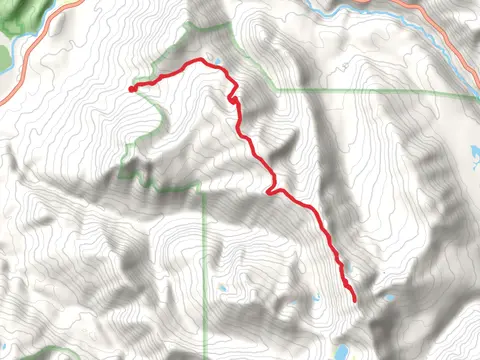
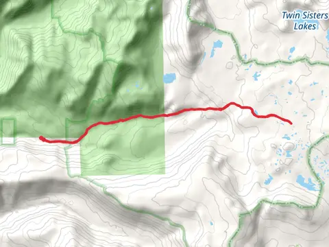
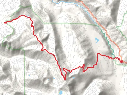
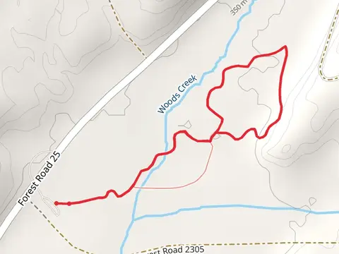
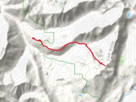
Check out some of the best hiking, walking and backpacking routes in Lewis County, Washington. The Northern Mount St Helens Loop is the most popular trail. The trails have 854 user reviews with great photos and information. There are trails of various difficulty levels including easy, medium, difficult, and extra difficult. The trail with the highest elevation climb is the Goat Rocks Circuit and the trail with the least amount of climbing is the Chehalis River Discovery Trail. The longest trail is the Upper Lake via Clear Lost Trail at 68.2 km. For a shorter adventure you can try the Narada Falls at 357 m. Get off line access to Campsite, Viewpoint, Water, and Peak locations and much more with a Hiiker subscription.

Be prepared for hiking in Washington with the HiiKER app