Download
Preview
Add to list
More
16.5 km
~4 hrs 36 min
789 m
Out and Back
“Embark on the Blue Lake Butte Trail for stunning vistas and rich history in Washington's lush landscapes.”
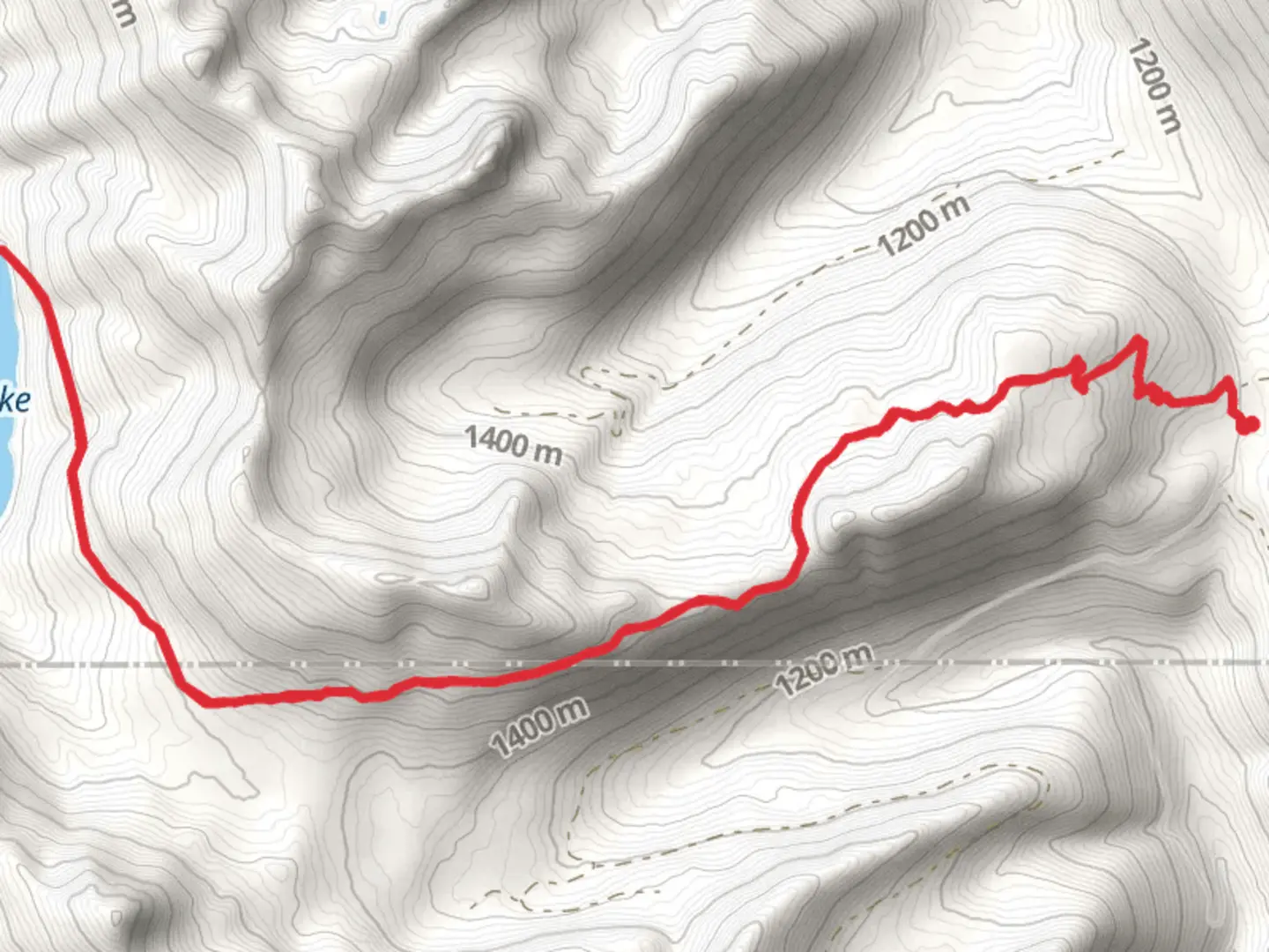
Starting your adventure near Lewis County, Washington, the Blue Lake Butte Trail offers a captivating journey through the Pacific Northwest's lush landscapes. This out-and-back trail spans approximately 16 kilometers (10 miles) with an elevation gain of around 700 meters (2,300 feet), making it a moderately challenging hike suitable for those with some hiking experience.
Getting There To reach the trailhead, you can drive or use public transportation. If driving, head towards Lewis County, Washington, and look for signs directing you to the trailhead near the town of Packwood. For those relying on public transport, the nearest significant landmark is the Packwood Airport. From there, you may need to arrange a taxi or rideshare to the trailhead.
Trail Overview The trail begins with a gentle ascent through dense forest, where you'll be surrounded by towering Douglas firs and western hemlocks. The first 3 kilometers (1.9 miles) are relatively easy, with a gradual elevation gain of about 150 meters (500 feet). This section is perfect for warming up and getting accustomed to the terrain.
Mid-Trail Highlights As you progress, the trail becomes steeper, and you'll encounter a series of switchbacks. Around the 5-kilometer (3.1-mile) mark, you'll reach a scenic viewpoint offering panoramic views of the surrounding valleys and distant peaks. This is an excellent spot for a short break and some photography.
Continuing onward, the trail meanders through alpine meadows filled with wildflowers during the summer months. Keep an eye out for local wildlife, including black-tailed deer and various bird species. The trail's elevation gain becomes more noticeable here, with an additional 300 meters (1,000 feet) over the next 4 kilometers (2.5 miles).
Historical Significance The region around Blue Lake Butte has a rich history. It was once inhabited by Native American tribes who used the area for hunting and gathering. In the early 20th century, the trail was part of a network used by loggers and miners. Remnants of old logging roads and mining equipment can still be seen along the trail, adding a historical dimension to your hike.
Final Ascent and Blue Lake The last stretch of the trail involves a steep climb to the butte itself. This section can be challenging, with an elevation gain of about 250 meters (820 feet) over the final 2 kilometers (1.2 miles). However, the effort is well worth it. Upon reaching the summit, you'll be rewarded with breathtaking views of Blue Lake below and the surrounding mountain ranges.
Navigation and Safety For navigation, it's highly recommended to use HiiKER, which provides detailed maps and real-time updates. Ensure you have adequate water, snacks, and appropriate clothing, as weather conditions can change rapidly in this region. Always let someone know your hiking plans and estimated return time.
Return Journey The return journey follows the same path, allowing you to enjoy the scenery from a different perspective. Take your time descending, as the steep sections can be tricky. The entire hike typically takes around 6-8 hours, depending on your pace and the number of breaks you take.
Embark on this trail prepared, and you'll find the Blue Lake Butte Trail to be a rewarding and enriching experience, offering both natural beauty and a touch of historical intrigue.
What to expect?
Activity types
Comments and Reviews
User comments, reviews and discussions about the Blue Lake Butte Trail, Washington.
4.4
average rating out of 5
10 rating(s)
