Download
Preview
Add to list
More
2.7 km
~38 min
53 m
Loop
“Nestled in lush Lewis County, this 3 km loop offers serene rainforest beauty and historical intrigue.”
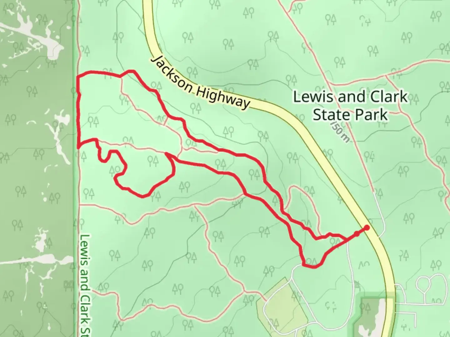
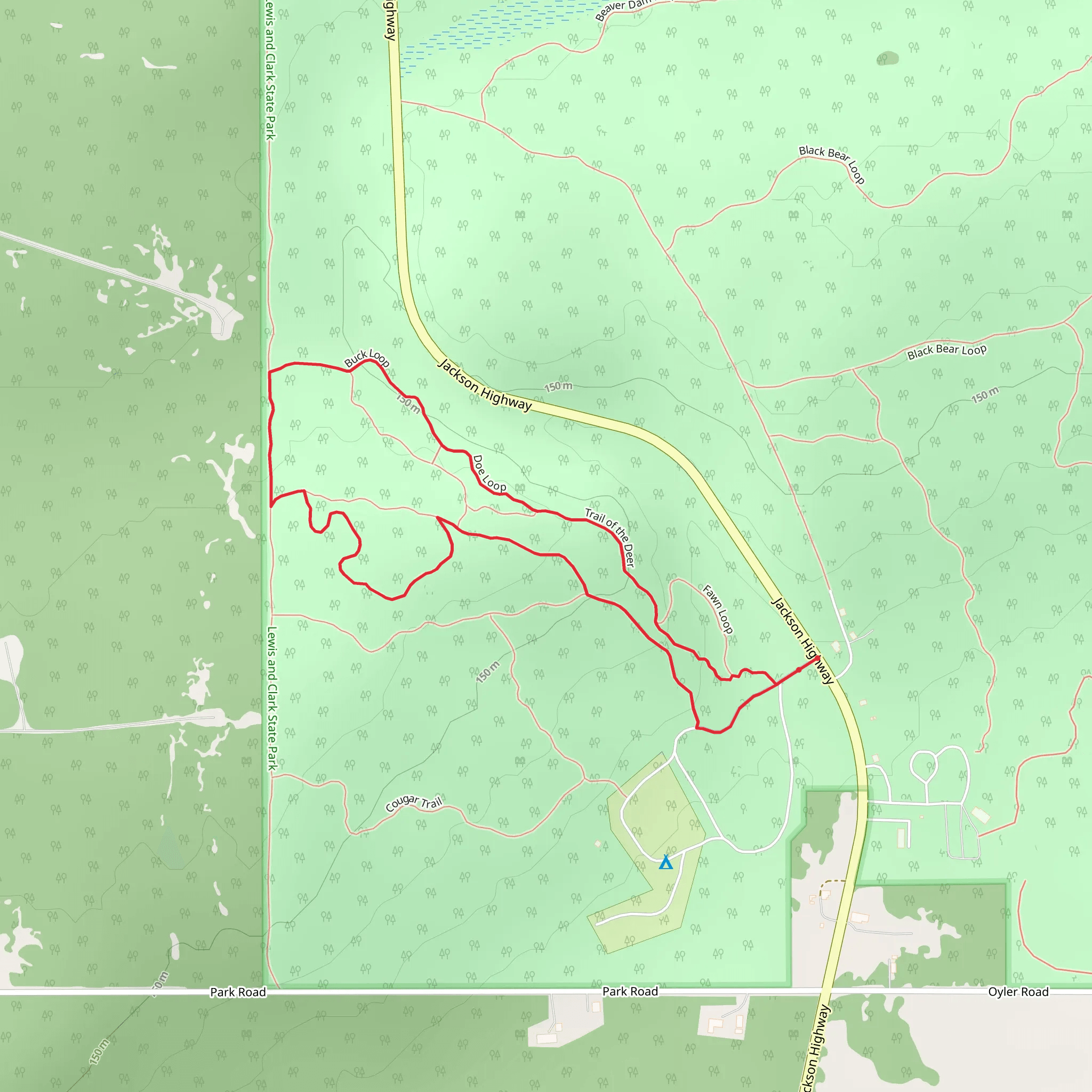
Nestled in the scenic Lewis County, Washington, the Lewis and Clark State Park Loop - West offers a delightful 3 km (approximately 1.86 miles) hiking experience with virtually no elevation gain, making it accessible for a wide range of hikers. This loop trail is rated as medium difficulty, providing a balanced mix of leisurely strolls and slightly challenging sections.### Getting There To reach the trailhead, you can drive or use public transportation. If driving, set your GPS to Lewis and Clark State Park, located near Toledo, Washington. The nearest significant landmark is the park's main entrance, easily accessible from Interstate 5. For those using public transport, the closest bus stop is in Toledo, from where you can take a short taxi ride or arrange for a local shuttle to the park.### Trail Highlights As you embark on the loop, you'll find yourself immersed in a lush, temperate rainforest. The trail meanders through towering Douglas firs and Western red cedars, some of which are centuries old. The forest floor is carpeted with ferns and moss, creating a serene and almost otherworldly atmosphere.#### Flora and Fauna Keep an eye out for the diverse wildlife that calls this park home. Deer are commonly spotted grazing in the underbrush, and you might also see raccoons, squirrels, and a variety of bird species, including woodpeckers and owls. The park's rich biodiversity makes it a haven for nature enthusiasts and bird watchers alike.### Historical Significance Lewis and Clark State Park is steeped in history. The area was once a significant site for the Cowlitz Indian Tribe, who utilized the land for hunting and gathering. The park itself was established in the early 20th century and has since been a popular destination for outdoor recreation. As you hike, you'll come across interpretive signs that provide insights into the region's historical and cultural significance.### Navigation and Safety The trail is well-marked, but it's always a good idea to have a reliable navigation tool. HiiKER is an excellent app for this purpose, offering detailed maps and real-time tracking to ensure you stay on course. Given the dense forest, cell service can be spotty, so downloading the trail map in advance is recommended.### Points of Interest About halfway through the loop, you'll encounter a picturesque wooden bridge spanning a small creek. This is a perfect spot for a rest and some photos. Further along, you'll find a clearing with picnic tables, ideal for a snack break while enjoying the tranquil surroundings.### Trail Conditions The trail is generally well-maintained, but it can get muddy after rain, so waterproof hiking boots are advisable. There are a few sections with exposed roots and rocks, requiring careful footing. Despite the lack of significant elevation gain, these minor obstacles contribute to the trail's medium difficulty rating.### Final Stretch As you near the end of the loop, the trail opens up to a meadow, offering a different landscape and a chance to see wildflowers in bloom during the spring and summer months. The loop concludes back at the trailhead, where you can take advantage of the park's amenities, including restrooms and picnic areas.This trail offers a perfect blend of natural beauty, historical context, and moderate physical challenge, making it a rewarding hike for both novice and experienced hikers.
What to expect?
Activity types
Comments and Reviews
User comments, reviews and discussions about the Lewis and Clark State Park Loop - West, Washington.
4.5
average rating out of 5
8 rating(s)
