The best hikes in Ceredigion
Wales · 29 HiiKER Hikes
View Hikes on map
What to expect
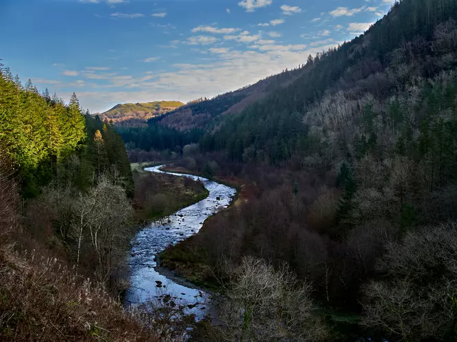
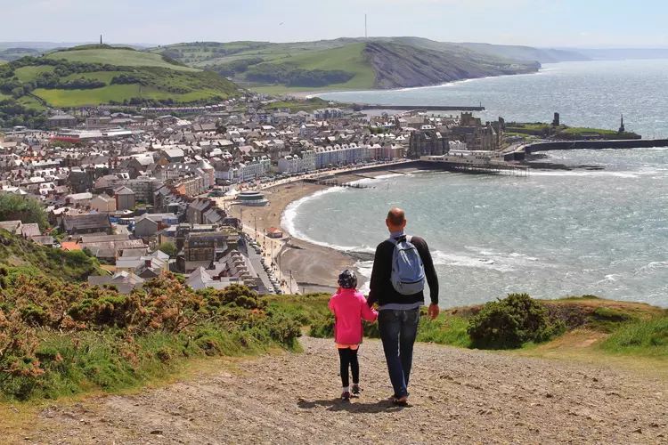
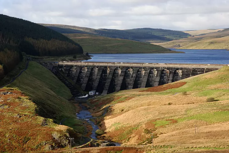
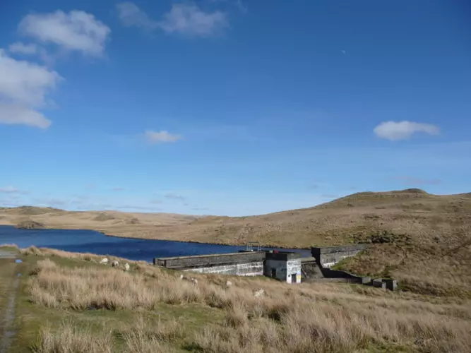
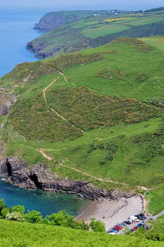
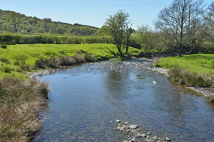
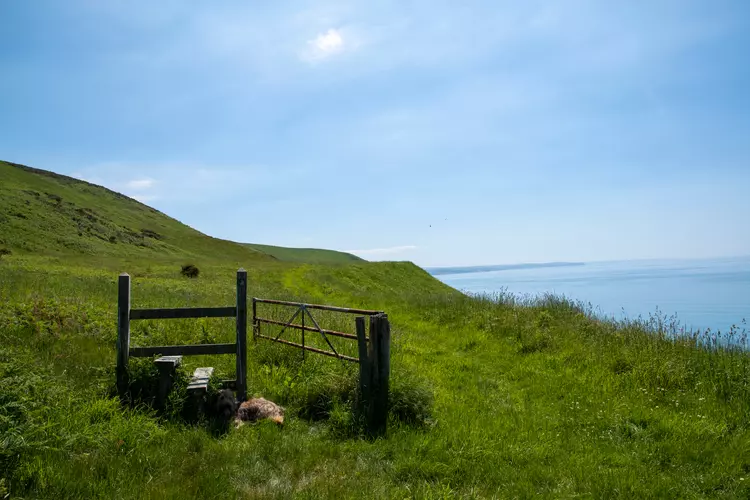
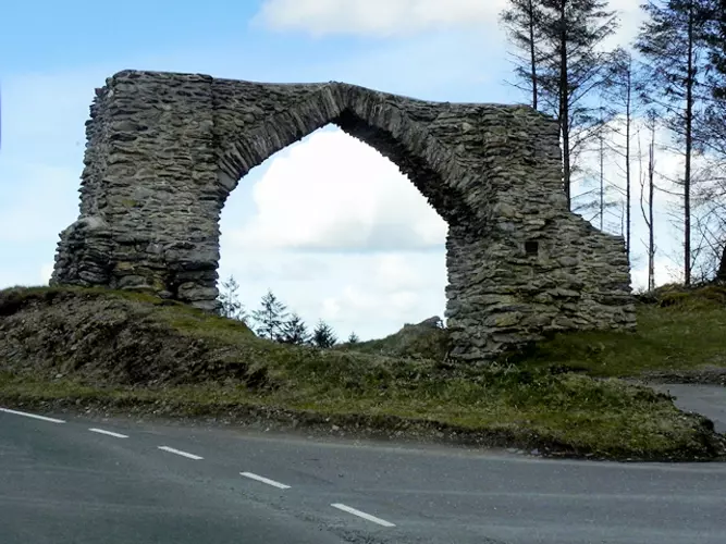
Check out some of the best hiking, walking and backpacking routes in Ceredigion, Wales. The Borth to Devil's Bridge to Pontrhydfendigaid Trail is the most popular trail. The trails have 1172 user reviews with great photos and information. There are trails of various difficulty levels including easy, medium, and difficult. The trail with the highest elevation climb is the Plynlimon and Nant-y-Moch Reservoir and the trail with the least amount of climbing is the Cenarth Falls Walk. The longest trail is the Ceredigion Coast Path at 95.9 km. For a shorter adventure you can try the Devil's Bridge Falls Walk at 1.3 km. Get off line access to Pub, History, Peak, and Water locations and much more with a Hiiker subscription.

Be prepared for hiking in Wales with the HiiKER app