The best hikes in Iron County
Utah · 48 HiiKER Hikes
View Hikes on map
What to expect
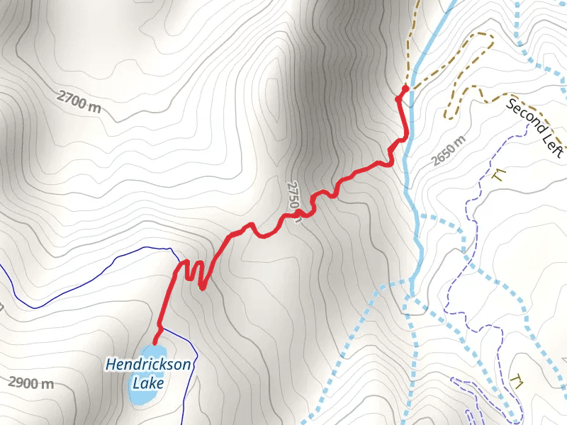
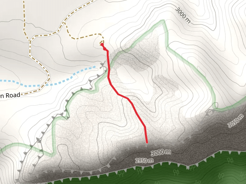
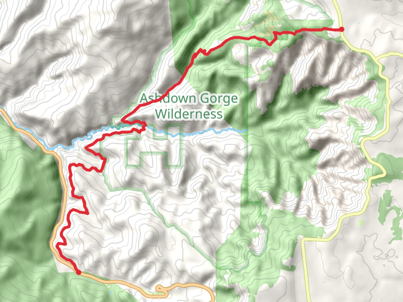
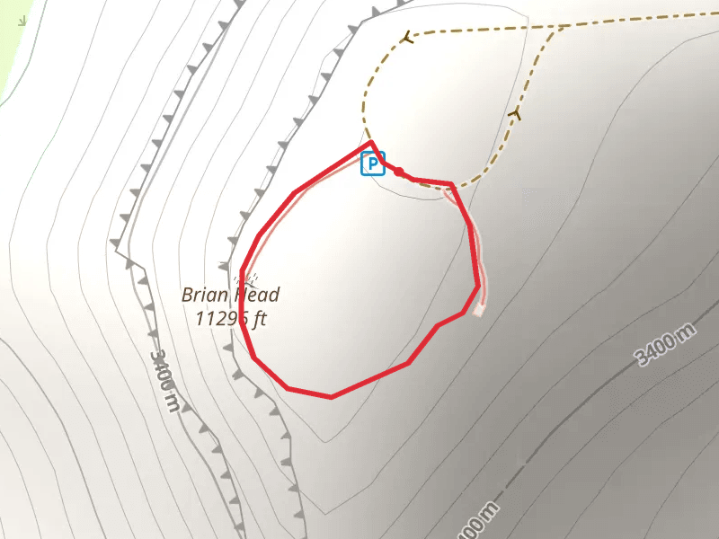
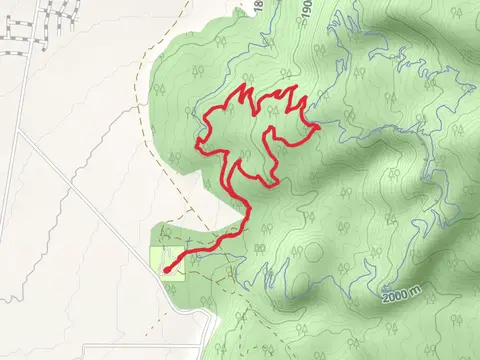
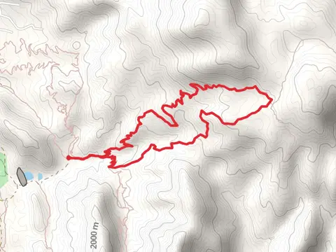
Check out some of the best hiking, walking and backpacking routes in Iron County, Utah. The Twisted Forest Trail is the most popular trail. There are trails of various difficulty levels including easy and medium. The trail with the highest elevation climb is the Brian Head Loop and the trail with the least amount of climbing is the Parowan Gap Petroglyph Trail. The longest trail is the Sidney Peaks Trail to Panguitch Lake at 21.1 km. For a shorter adventure you can try the Cedar Breaks Visitor Center Walk at 368 m. Get off line access to Peak, Shelter, Fastfood, and Restaurant locations and much more with a Hiiker subscription.

Be prepared for hiking in Utah with the HiiKER app