Download
Preview
Add to list
More
14.2 km
~3 hrs 22 min
323 m
Out and Back
“Immerse in Iron County's natural beauty and history on a moderately challenging 14-km Turnpike trail hike.”
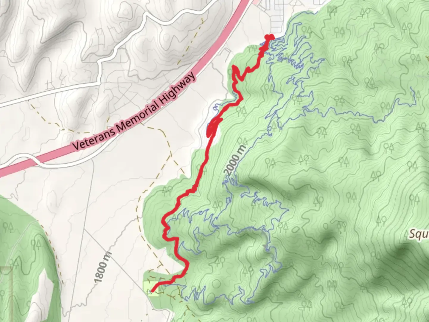
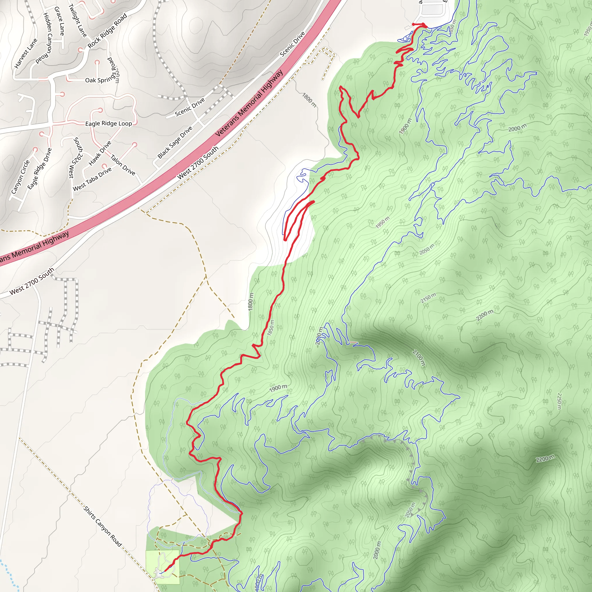
Starting near Iron County, Utah, the Turnpike trail offers a moderately challenging out-and-back hike spanning approximately 14 kilometers (around 8.7 miles) with an elevation gain of about 300 meters (approximately 984 feet). This trail is perfect for those looking to immerse themselves in the natural beauty of the region while enjoying a good workout.### Getting There To reach the trailhead, you can drive or use public transportation. If driving, head towards Iron County, Utah, and look for the nearest significant landmark, which is the Cedar City Regional Airport. From there, follow local roads to the trailhead. For those using public transport, you can take a bus or shuttle service to Cedar City and then a taxi or rideshare to the trailhead.### Trail Overview The Turnpike trail begins with a gentle ascent, allowing hikers to warm up before tackling more challenging sections. The initial part of the trail is well-marked and winds through a forested area, offering shade and a cool environment, especially during the summer months. ### Key Landmarks and Nature At around 3 kilometers (1.86 miles) into the hike, you'll come across a picturesque meadow, often dotted with wildflowers in the spring and summer. This is a great spot for a short break and some photography. Continuing on, the trail starts to climb more steeply, and you'll gain most of the elevation in the next 4 kilometers (2.5 miles).### Wildlife and Flora The region is home to a variety of wildlife, including mule deer, foxes, and a plethora of bird species. Keep an eye out for red-tailed hawks soaring above and listen for the calls of songbirds. The flora is equally diverse, with ponderosa pines, junipers, and a variety of shrubs lining the trail.### Historical Significance Iron County has a rich history, particularly related to the early settlers and the iron mining industry. As you hike, you'll notice remnants of old mining operations and perhaps even some historical markers that provide insight into the area's past. These markers are usually found around the 7-kilometer (4.35 miles) mark, where the trail reaches its highest point.### Navigation and Safety Given the moderate difficulty of the trail, it's advisable to use a reliable navigation tool like HiiKER to keep track of your progress and ensure you stay on the correct path. The trail is generally well-maintained, but there are sections where the path can become narrow and rocky, so sturdy hiking boots are recommended.### Final Stretch The return journey follows the same path, allowing you to enjoy the scenery from a different perspective. The descent is much easier on the legs, and you'll likely find yourself making good time on the way back. Make sure to carry enough water, especially during the warmer months, and consider packing a light snack or lunch to enjoy at one of the scenic spots along the trail.This hike offers a balanced mix of natural beauty, moderate physical challenge, and a touch of historical intrigue, making it a rewarding experience for hikers of all levels.
What to expect?
Activity types
Comments and Reviews
User comments, reviews and discussions about the Turnpike, Utah.
4.48
average rating out of 5
21 rating(s)
