Download
Preview
Add to list
More
4.5 km
~1 hrs 41 min
469 m
Out and Back
“Embark on the captivating Noah's Arc Trail in Utah, a 5 km hike rich in nature and history.”
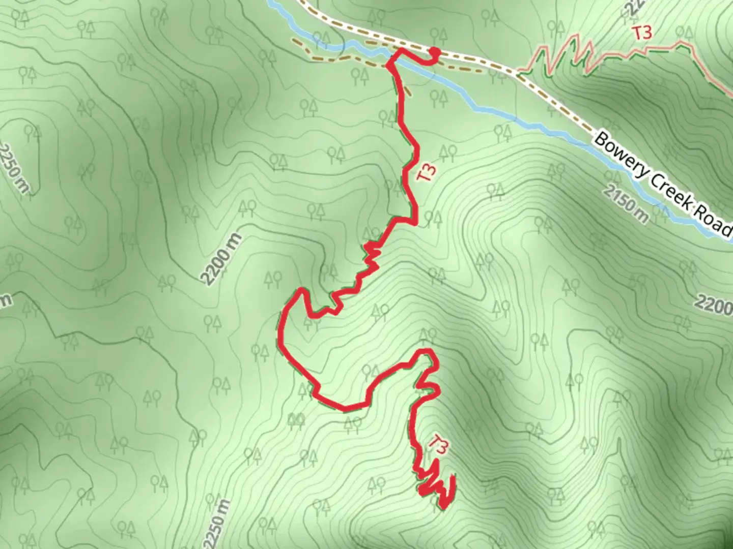
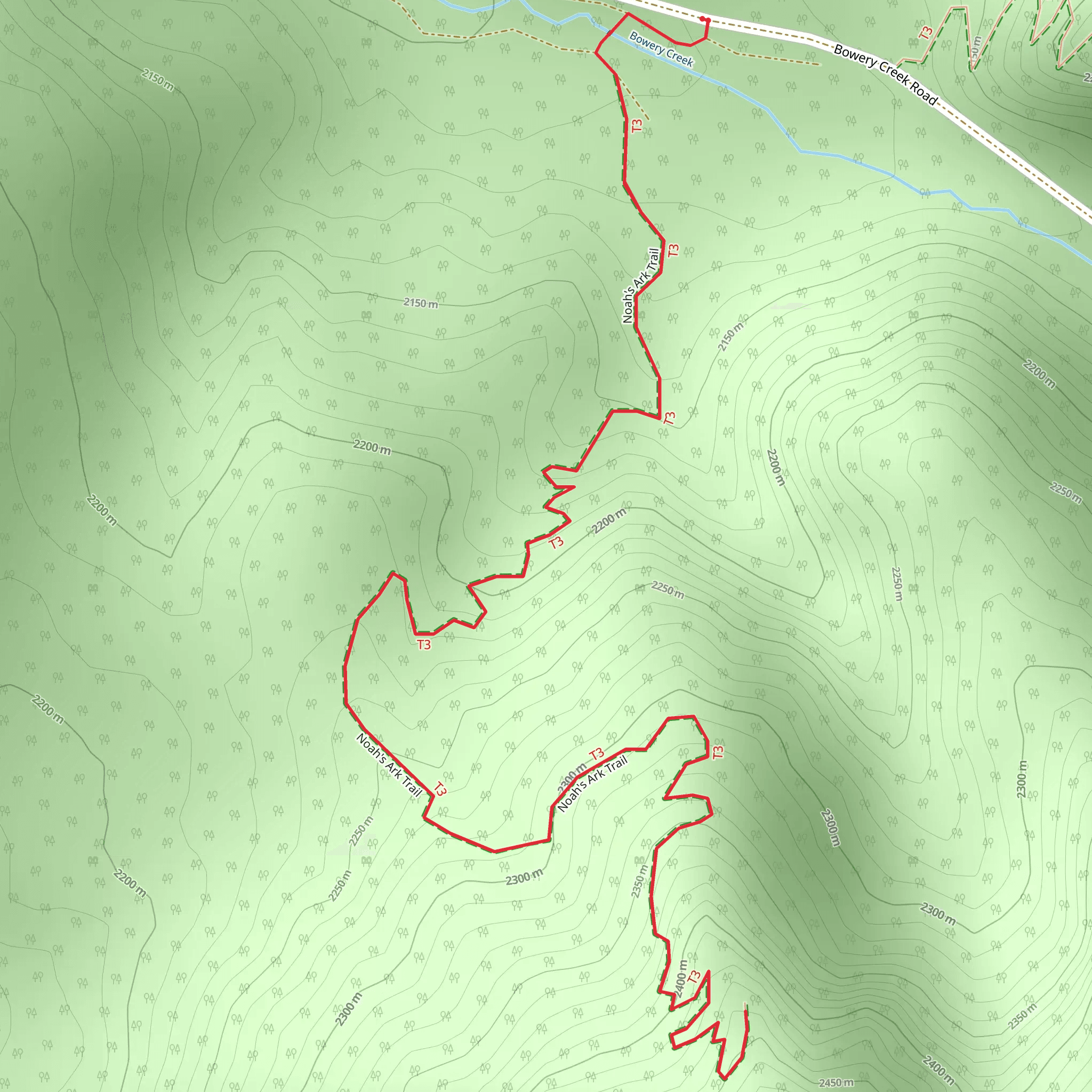
Starting your journey near Iron County, Utah, the Noah's Arc Trail offers a captivating 5 km (approximately 3.1 miles) out-and-back hike with an elevation gain of around 400 meters (about 1,312 feet). This trail is rated as medium difficulty, making it suitable for moderately experienced hikers looking for a rewarding adventure.
Getting There To reach the trailhead, you can drive or use public transport. If driving, head towards Cedar City, Utah, and follow signs to Iron County. The nearest significant landmark is the Cedar City Regional Airport. From there, it's a short drive to the trailhead. For those using public transport, buses run regularly from Cedar City to the vicinity of Iron County, and a short taxi ride can take you to the trailhead.
Trail Overview The trail begins with a gentle ascent through a mixed forest of pinyon pines and junipers. As you progress, the path becomes steeper, offering a moderate challenge. The first kilometer (0.6 miles) gains about 100 meters (328 feet) in elevation, providing a good warm-up for the more strenuous sections ahead.
Significant Landmarks and Nature At around the 1.5 km (0.9 miles) mark, you'll encounter a stunning rock formation known locally as "The Sentinel." This natural landmark offers a perfect spot for a short break and some photography. Continuing on, the trail winds through a series of switchbacks, gaining another 150 meters (492 feet) in elevation over the next kilometer (0.6 miles).
Wildlife and Flora The Noah's Arc Trail is home to a variety of wildlife, including mule deer, foxes, and a plethora of bird species. Keep an eye out for golden eagles soaring above and listen for the distinctive calls of the canyon wren. The flora is equally diverse, with seasonal wildflowers adding splashes of color to the landscape, especially in spring and early summer.
Historical Significance This region holds historical significance dating back to the early Native American tribes who once inhabited the area. Petroglyphs and ancient artifacts have been discovered nearby, offering a glimpse into the rich cultural history of the region. The trail itself is named after a local legend involving a massive flood and a natural rock formation that resembles a ship's bow, hence "Noah's Arc."
Final Stretch As you approach the 4 km (2.5 miles) mark, the trail levels out slightly, offering panoramic views of the surrounding valleys and distant mountain ranges. The final ascent to the turnaround point is steep but short, gaining the last 50 meters (164 feet) in elevation over the next 500 meters (0.3 miles).
Navigation and Safety For navigation, it's highly recommended to use the HiiKER app, which provides detailed maps and real-time updates. Ensure you have adequate water, snacks, and weather-appropriate clothing. The trail can be rocky and uneven in places, so sturdy hiking boots are essential.
This hike offers a blend of natural beauty, wildlife, and historical intrigue, making it a memorable experience for those who undertake it.
What to expect?
Activity types
Comments and Reviews
User comments, reviews and discussions about the Noah's Arc Trail, Utah.
4.31
average rating out of 5
13 rating(s)
