The best hikes in Argyll and Bute
Scotland · 149 HiiKER Hikes
View Hikes on map

What to expect
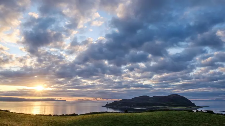
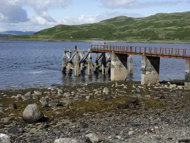
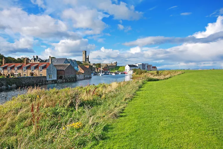
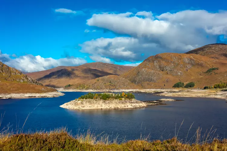
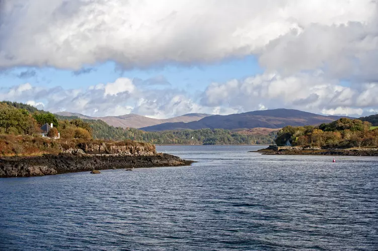
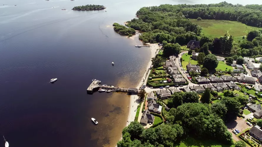
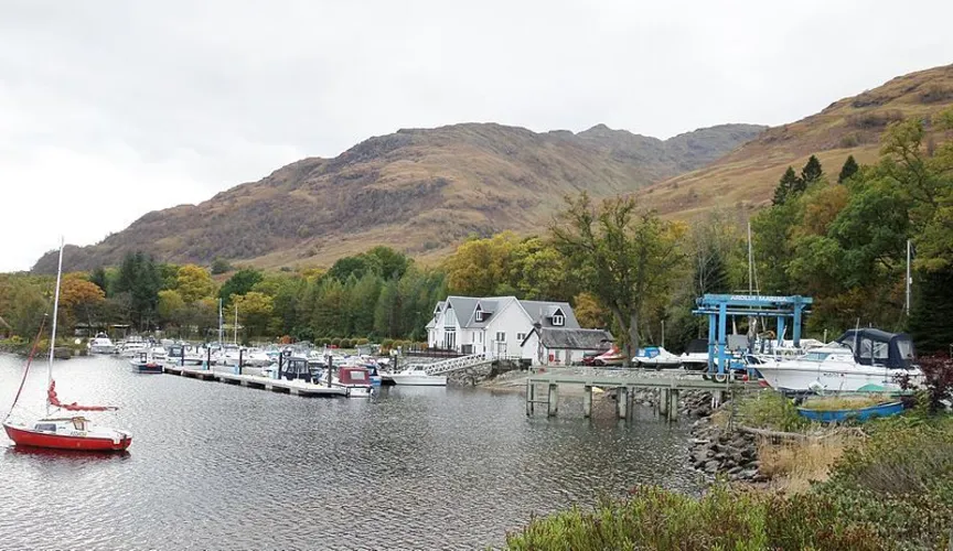
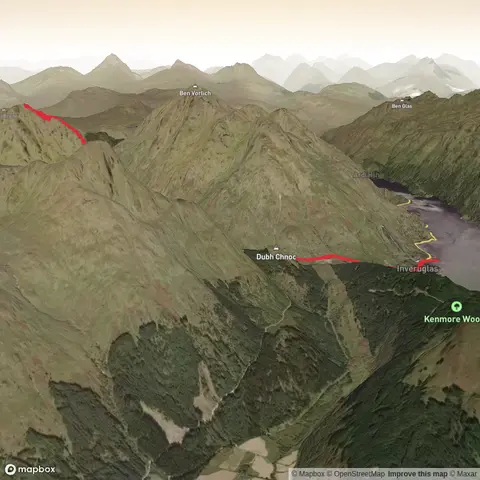
Check out some of the best hiking, walking and backpacking routes in Argyll and Bute, Scotland. The John Muir Way is the most popular trail. The trails have 2976 user reviews with great photos and information. There are trails of various difficulty levels including easy, medium, difficult, and extra difficult. The trail with the highest elevation climb is the Five Degree West Challenge and the trail with the least amount of climbing is the Glenfinart Burn Riverside Loop Trail. The longest trail is the Five Degree West Challenge at 496.5 km. For a shorter adventure you can try the Giant Fir Loop Trail at 377 m. Get off line access to Restaurant, History, Water, and Peak locations and much more with a Hiiker subscription.

Be prepared for hiking in Scotland with the HiiKER app