Download
Preview
Add to list
More
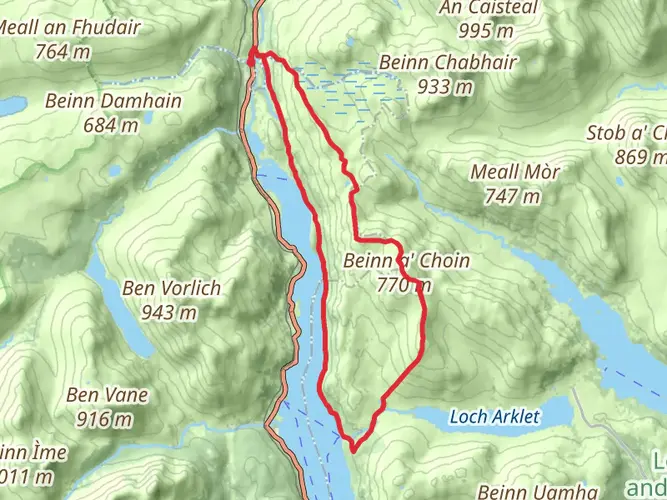
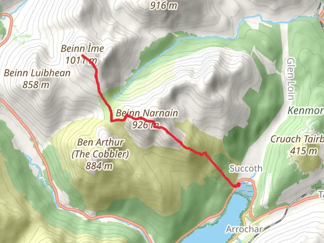
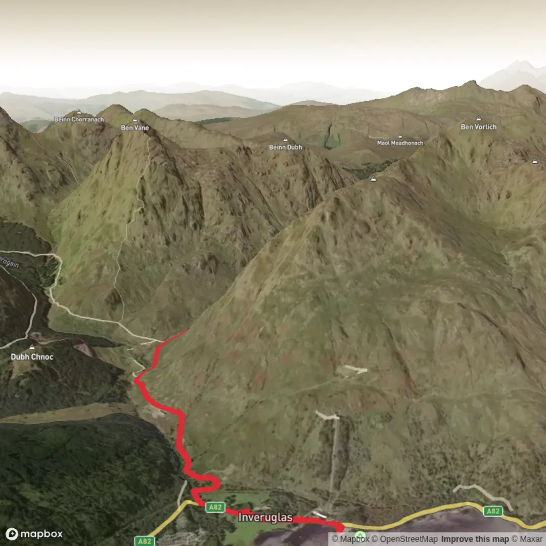
Trail length
4.9 km
Time
~1 hrs 22 min
Elevation Gain
239 m
Hike Type
Point-to-Point
A medium, single-day hike in Argyll and Bute, this 4.9 km route climbs steadily from around 56.25°N, -4.71°W towards 56.26°N, -4.76°W, gaining about 240 m of elevation with very little descent. Expect a continuous uphill stretch that offers expanding views of the surrounding hills and lochs. At roughly 84 minutes, it’s ideal for walkers seeking a short but moderately challenging outing in classic West Highland scenery.
Created by
TrailWalkerGJoubert

Comments and Reviews
User comments, reviews and discussions about the Hike from Argyll and Bute Council, Scotland.
average rating out of 5
0 rating(s)