The best hikes in Wallowa County
Oregon · 55 HiiKER Hikes
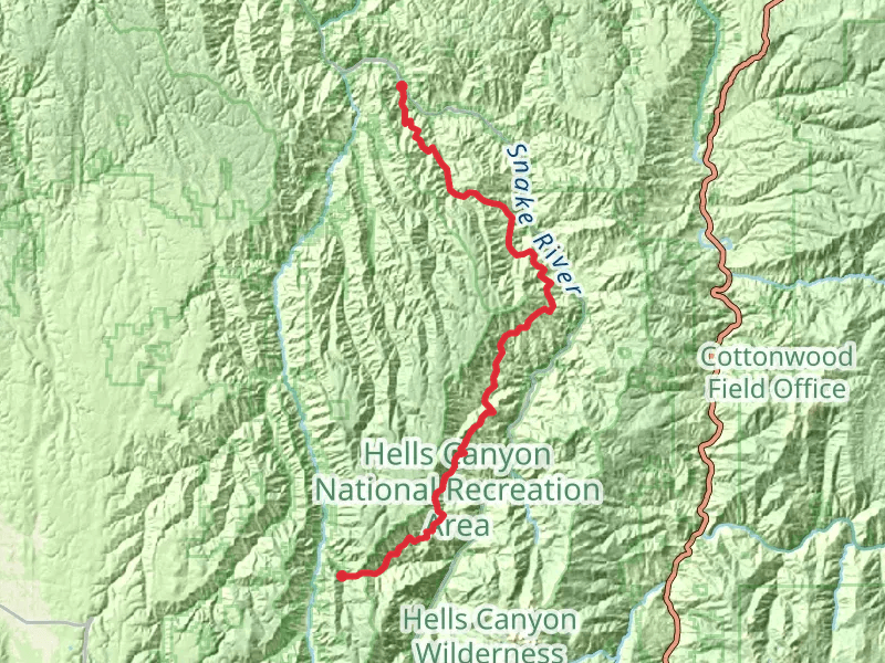
View Hikes on map

What to expect
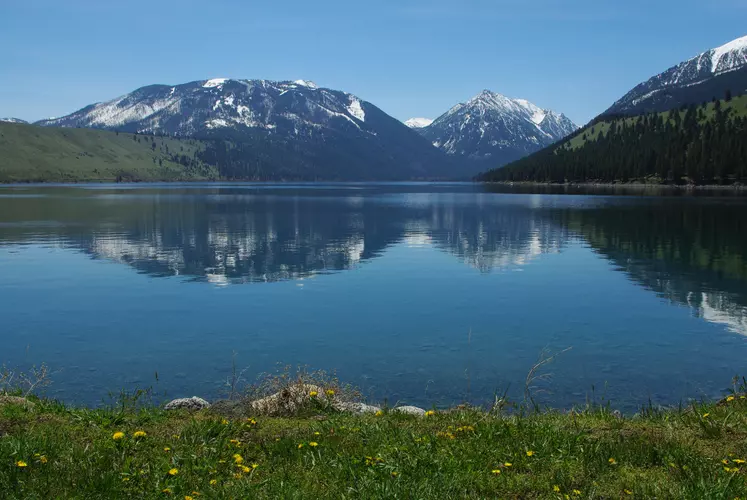
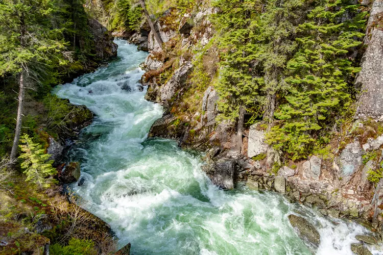
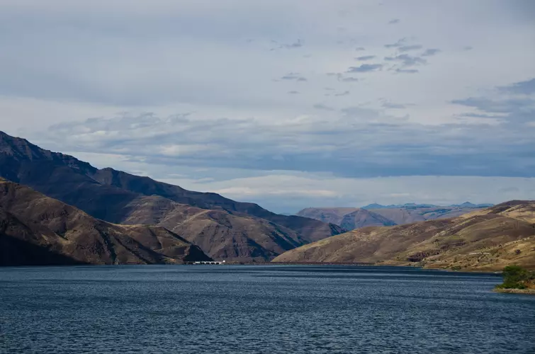
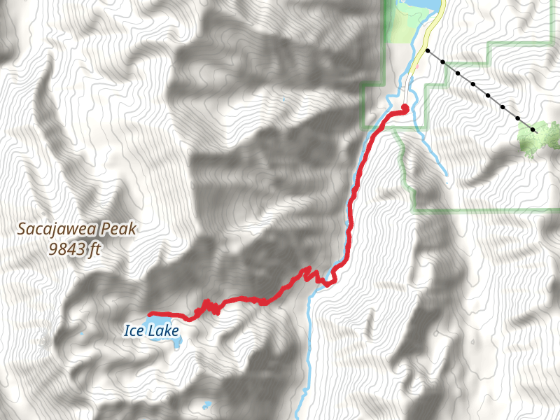
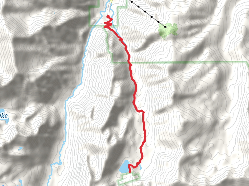
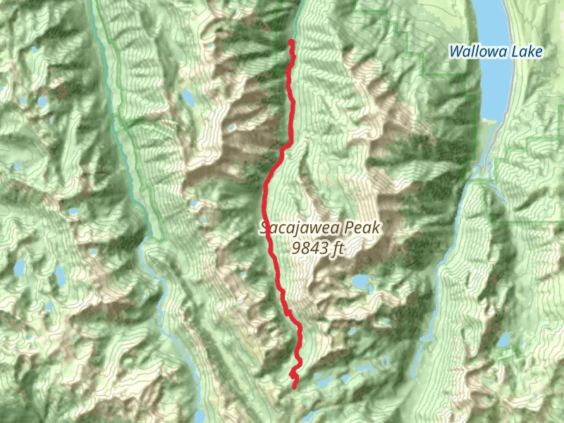
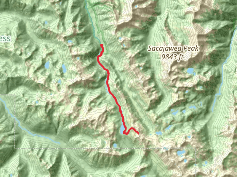
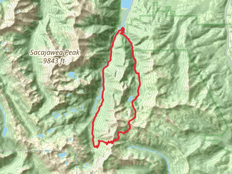
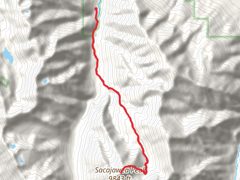
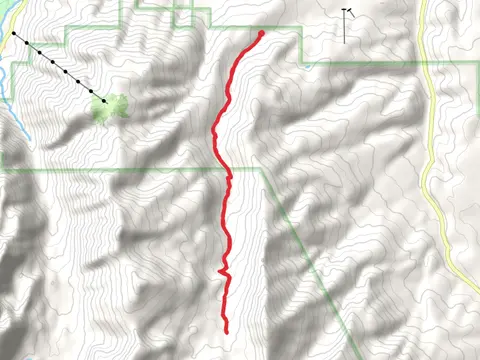
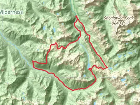
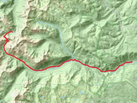
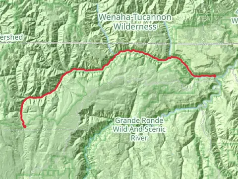
Check out some of the best hiking, walking and backpacking routes in Wallowa County, Oregon. The Wallowa River Loop is the most popular trail. The trails have 622 user reviews with great photos and information. There are trails of various difficulty levels including easy, medium, difficult, and extra difficult. The trail with the highest elevation climb is the Ice Lake and Matterhorn via West Fork Wallowaand Ice Lake Trail and the trail with the least amount of climbing is the Stud Creek Trail. The longest trail is the Hells Canyon Bench High Trail at 97.9 km. For a shorter adventure you can try the Mount Howard Loop at 2.5 km. Get off line access to Bus Stop, Campsite, Water, and Peak locations and much more with a Hiiker subscription.

Be prepared for hiking in Oregon with the HiiKER app