The best hikes in Alger County
Michigan · 43 HiiKER Hikes
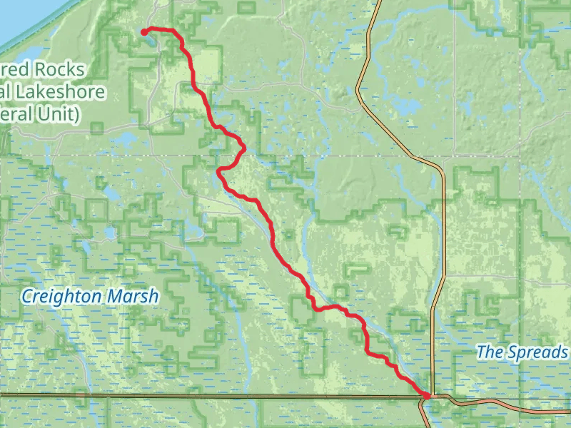
View Hikes on map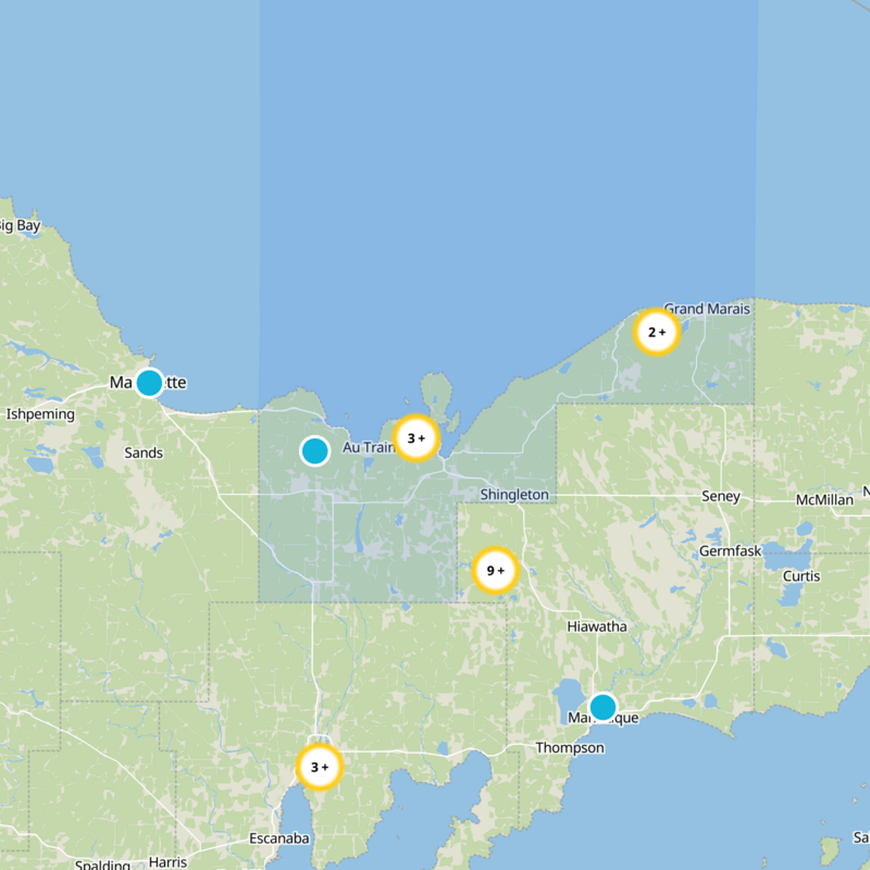

What to expect
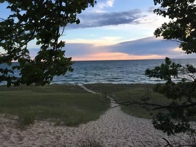
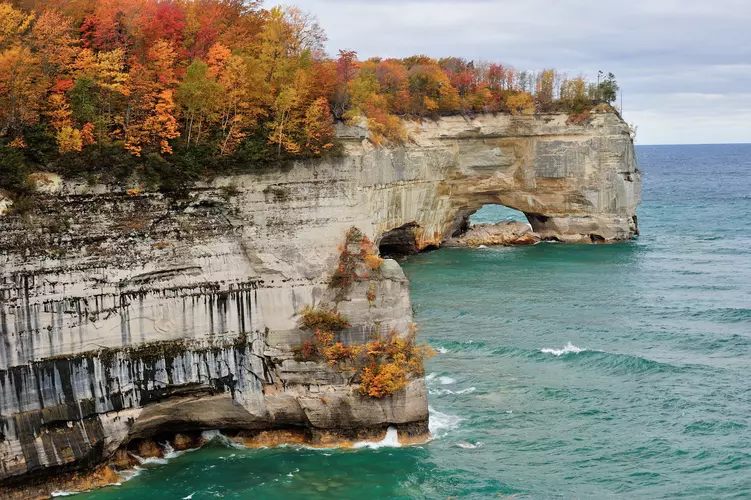
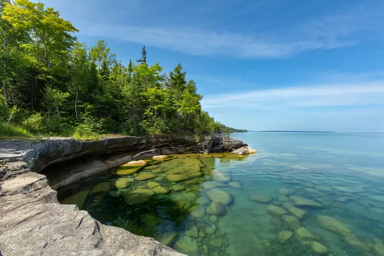
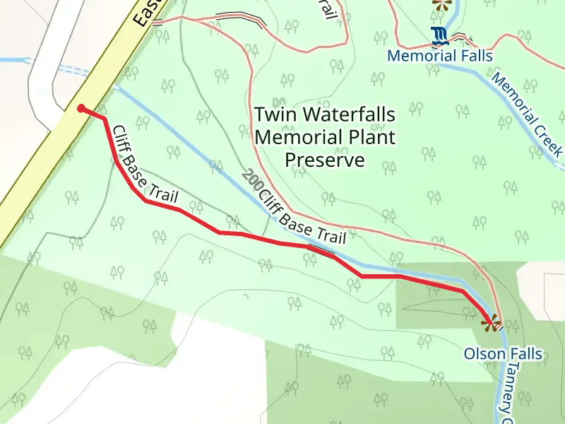
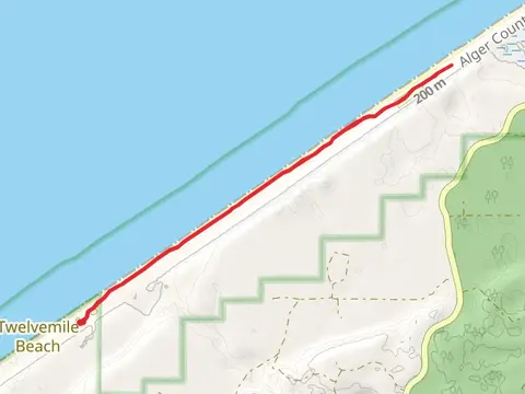
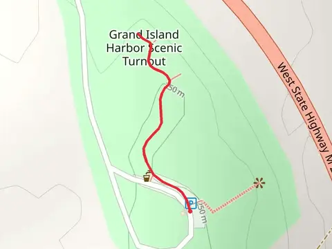
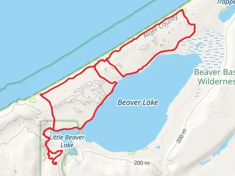
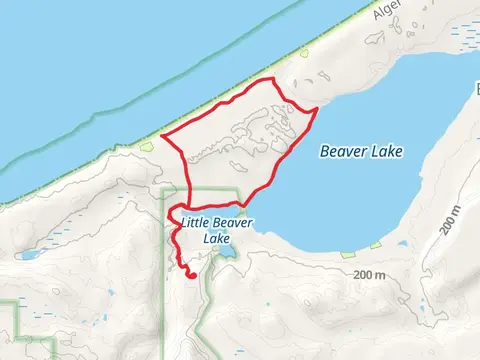
Check out some of the best hiking, walking and backpacking routes in Alger County, Michigan. The Grand Island Trail is the most popular trail. The trails have 950 user reviews with great photos and information. There are trails of various difficulty levels including easy, medium, and difficult. The trail with the highest elevation climb is the Rock River Falls Hike and the trail with the least amount of climbing is the Sand Point Marsh Loop Trail. The longest trail is the North Country Trail - Rocks National Lake Shore at 68.7 km. For a shorter adventure you can try the Wagner Falls Scenic Site at 380 m. Get off line access to Shop, History, Water, and Campsite locations and much more with a Hiiker subscription.

Be prepared for hiking in Michigan with the HiiKER app