Download
3D Flyover
Add to list
More
1541.7 km
~62 days
36963 m
Multi-Day
“Embark on an epic trek along the Continental Divide Trail, where majestic landscapes meet rich history and diverse wildlife.”
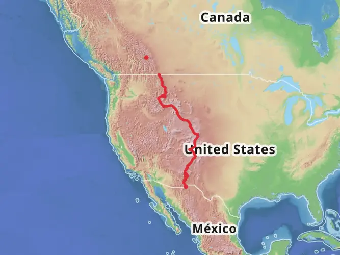
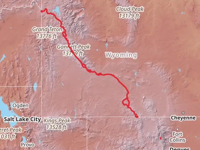
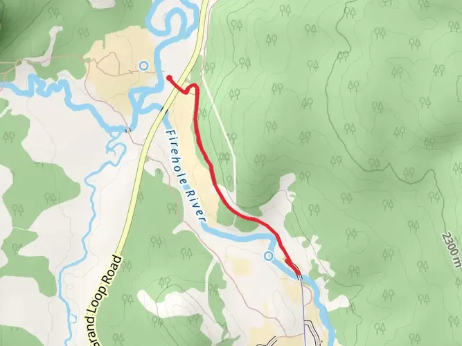
Spanning approximately 1542 kilometers (958 miles) and with an elevation gain of around 36,900 meters (121,000 feet), the Continental Divide Trail through Montana and Idaho offers a challenging yet rewarding experience for avid hikers. This section of the trail is a point-to-point route, starting near Fremont County, Idaho, close to the border with Wyoming.
Getting to the Trailhead
To reach the starting point of the trail, hikers can drive to the vicinity of the Red Rock Pass, which is near the town of Island Park in Fremont County. For those relying on public transportation, options are limited, but services to nearby towns such as West Yellowstone or Island Park can be used, followed by a taxi or shuttle service to the trailhead.
Navigating the Trail
Hikers can utilize the HiiKER app for detailed maps and navigation assistance throughout their journey. The app provides valuable information on waypoints, water sources, and camping spots, which is crucial for a trail of this magnitude.
Montana and Idaho Terrain
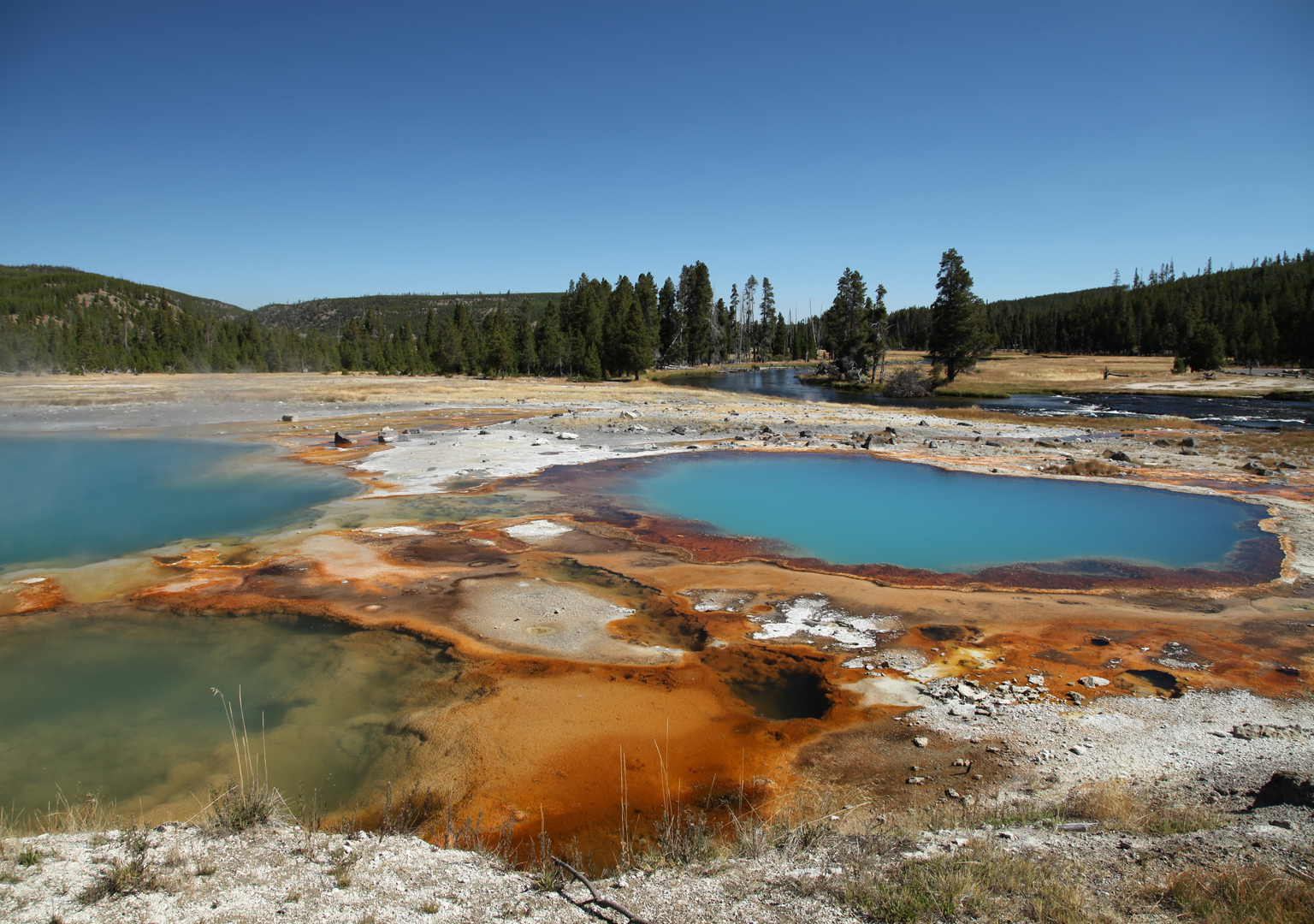
The trail traverses a diverse range of landscapes, including high mountain ridges, dense forests, and expansive valleys. Hikers will encounter parts of the Rocky Mountains, offering breathtaking views and challenging climbs. The path often follows the actual Continental Divide, the line that separates the watersheds of the Pacific Ocean from those that drain into the Atlantic.
Wildlife and Nature
The region is rich in wildlife, with the possibility of seeing elk, deer, moose, and even grizzly bears. It's essential to be bear-aware, carrying bear spray and knowing how to store food properly. The trail also winds through areas of significant natural beauty, such as the Bob Marshall Wilderness and the Anaconda-Pintler Wilderness, where pristine lakes and alpine meadows abound.
Historical Significance
The trail area is steeped in history, with the Lewis and Clark Expedition having passed through parts of Montana. Additionally, the trail crosses the Nez Perce National Historic Trail, which commemorates the flight of the Nez Perce tribe in the 1870s.
Climate and Best Time to Hike
The best time to hike this section of the Continental Divide Trail is from June to September when the snow has mostly melted, and the weather is more stable. However, weather in the mountains can be unpredictable, and hikers should be prepared for sudden changes, including snowstorms, even in summer.
Preparation and Safety
Given the trail's length and remote nature, hikers should be self-sufficient and well-prepared. It's recommended to carry a reliable means of communication, such as a satellite phone or an emergency locator beacon. Water sources can be scarce in some sections, so carrying a water filter and planning for water stops is crucial.
Resupply Points and Logistics
There are several towns along the trail where hikers can resupply, such as Lincoln, Helena, and Butte in Montana. Planning resupply points in advance is essential, and some hikers choose to send supply packages to post offices or other services in these towns.
Leave No Trace
As with any wilderness hike, it's vital to follow Leave No Trace principles to preserve the environment for future hikers. This includes packing out all trash, being respectful of wildlife, and minimizing the impact on the trail and campsites.
The Continental Divide Trail through Montana and Idaho is a journey of epic proportions, offering a glimpse into the wild heart of the Northern Rockies. With careful planning and respect for the natural environment, hikers can embark on an unforgettable adventure along this iconic American trail.

What to expect?
Activity types
Comments and Reviews
User comments, reviews and discussions about the Continental Divide Trail - Montana And Idaho, Idaho.
4.47
average rating out of 5
15 rating(s)