7.5 km
~1 hrs 48 min
177 m
“The Franzosenstrasse and Saelzerweg trail blends historical intrigue with natural beauty in an 8 km rewarding loop.”
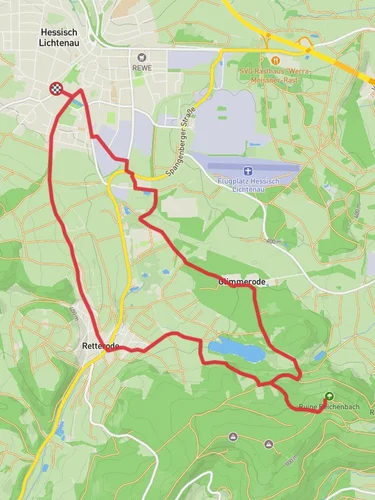
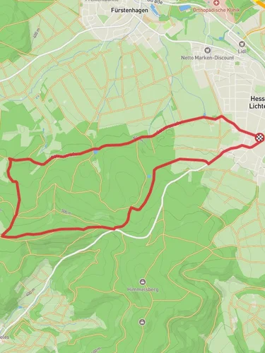
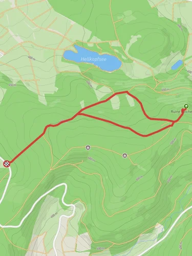
Starting near Werra-Meißner-Kreis, Germany, the Franzosenstrasse and Saelzerweg trail is a captivating 8 km (approximately 5 miles) loop with an elevation gain of around 100 meters (328 feet). This medium-difficulty trail offers a blend of historical intrigue and natural beauty, making it a rewarding experience for hikers.
### Getting There To reach the trailhead, you can drive or use public transport. If driving, set your GPS to the nearest significant landmark, which is the town of Eschwege. From Eschwege, follow local signage to the trailhead. For those using public transport, take a train to Eschwege Station. From there, local buses or a short taxi ride will get you to the starting point.
### Trail Overview The trail begins with a gentle ascent, providing a warm-up for the more varied terrain ahead. As you progress, you'll encounter a mix of forested paths and open meadows, each offering unique vistas and opportunities for wildlife spotting. Keep an eye out for deer, foxes, and a variety of bird species that inhabit the area.
### Historical Significance The Franzosenstrasse, or "French Road," has historical roots dating back to the Napoleonic Wars. This ancient route was used by French troops, and remnants of old military roads can still be seen. The Saelzerweg, on the other hand, was historically significant for salt traders, who transported this valuable commodity across the region. As you hike, you'll notice old milestones and markers that tell the story of these bygone eras.
### Key Landmarks - Eschwege Castle: Approximately 2 km (1.2 miles) into the hike, you'll pass near the historic Eschwege Castle. While not directly on the trail, a short detour will allow you to explore this medieval fortress. - Salt Springs: Around the 4 km (2.5 miles) mark, you'll come across natural salt springs, a nod to the trail's historical use by salt traders. These springs are a fascinating natural feature and a great spot for a break. - Panoramic Viewpoints: The trail offers several viewpoints, particularly around the 6 km (3.7 miles) mark, where you can enjoy sweeping views of the Werra Valley. These spots are perfect for photography and taking in the serene landscape.
### Navigation and Safety Given the historical nature of the trail, some sections may be less clearly marked. It's advisable to use the HiiKER app for accurate navigation and to ensure you stay on track. The trail is generally well-maintained, but be prepared for uneven terrain and occasional muddy patches, especially after rain.
### Flora and Fauna The trail's diverse ecosystems range from dense forests to open fields. In spring and summer, wildflowers bloom abundantly, adding vibrant colors to your hike. The forested sections are home to a variety of trees, including oak, beech, and pine, providing ample shade and a cool respite during warmer months.
### Final Stretch As you near the end of the loop, the trail descends gently back towards the starting point. This section is relatively easy, allowing you to cool down and reflect on the historical and natural wonders you've encountered.
This 8 km loop offers a balanced mix of history, nature, and moderate physical challenge, making it an ideal choice for hikers looking to explore the rich heritage and scenic beauty of the Werra-Meißner-Kreis region.
Reviews
User comments, reviews and discussions about the Franzosenstrasse and Saelzerweg, Germany.
0.0
average rating out of 5
0 rating(s)


