6.3 km
~1 hrs 42 min
271 m
“Discover natural beauty and history on the moderately challenging Talsperre Thal via Ruhlaer Insel trail.”
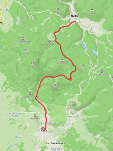
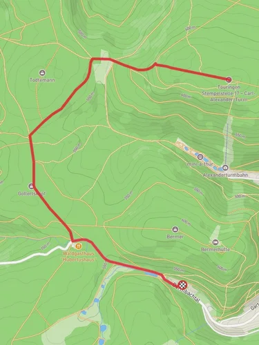
Starting near Wartburgkreis, Germany, this 6 km (approximately 3.7 miles) loop trail offers a delightful mix of natural beauty and historical significance. With an elevation gain of around 200 meters (656 feet), the Talsperre Thal via Ruhlaer Insel trail is rated as medium difficulty, making it suitable for moderately experienced hikers.
### Getting There To reach the trailhead, you can drive or use public transport. If driving, set your GPS to the nearest known address: Wartburgkreis, Thuringia, Germany. For those using public transport, the nearest significant landmark is the town of Eisenach, which is well-connected by train. From Eisenach, you can take a local bus to Wartburgkreis, where the trail begins.
### Trail Highlights The trail starts near the picturesque Talsperre Thal reservoir, a serene body of water that sets the tone for the hike. As you begin your journey, you'll be surrounded by lush forests and the calming sounds of nature. The first kilometer (0.6 miles) is relatively flat, allowing you to ease into the hike.
### Historical Significance One of the most notable aspects of this trail is its proximity to the Wartburg Castle, a UNESCO World Heritage site. Although the castle is not directly on the trail, its historical significance permeates the region. Wartburg Castle is famous for being the place where Martin Luther translated the New Testament into German. As you hike, you may find informational plaques that provide more context about the area's rich history.
### Flora and Fauna The trail is abundant with diverse flora and fauna. Keep an eye out for native bird species and small mammals that inhabit the forest. The area is particularly beautiful in the spring and autumn when the foliage is either in full bloom or displaying vibrant fall colors.
### Navigation For navigation, it is highly recommended to use the HiiKER app, which provides detailed maps and real-time updates. This will help you stay on track and ensure you don't miss any key points of interest.
### Mid-Trail Features Around the 3 km (1.8 miles) mark, you'll encounter the Ruhlaer Insel, a small island that offers a perfect spot for a short break. Here, you can enjoy a packed lunch while taking in the scenic views of the surrounding water and forest. This is also a good point to check your progress and make sure you're following the correct path using HiiKER.
### Elevation Gain The trail's elevation gain is gradual but noticeable. The most challenging section comes around the 4 km (2.5 miles) mark, where you'll encounter a steeper incline. This part of the trail offers rewarding views once you reach the top, making the effort well worth it.
### Final Stretch As you make your way back towards the trailhead, the path descends gently, allowing you to cool down and reflect on the hike. The final kilometer (0.6 miles) brings you back to the starting point near the Talsperre Thal reservoir, completing the loop.
This trail offers a balanced mix of natural beauty, moderate physical challenge, and historical context, making it a rewarding experience for those who undertake it.
Reviews
User comments, reviews and discussions about the Talsperre Thal via Ruhlaer Insel, Germany.
0.0
average rating out of 5
0 rating(s)


