7.3 km
~1 hrs 49 min
219 m
“Explore Vulkaneifel's volcanic craters, lush forests, and ancient Roman ruins on this scenic 7 km loop.”
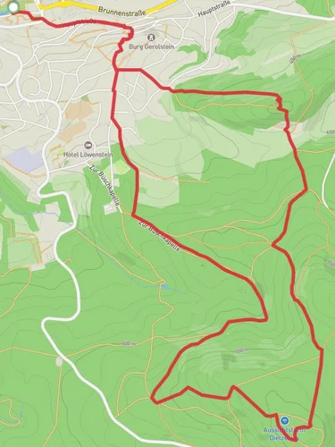
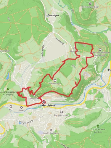
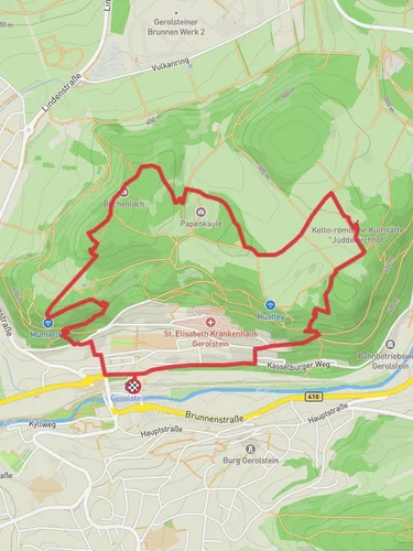
Starting near the picturesque region of Vulkaneifel, Germany, this loop trail spans approximately 7 km (4.35 miles) with an elevation gain of around 200 meters (656 feet). The trailhead is conveniently located near the Vulkaneifel, a region renowned for its volcanic landscapes and geological significance.
### Getting There To reach the trailhead, you can either drive or use public transport. If driving, set your GPS to the Vulkaneifel region, specifically near the town of Daun, which is a well-known landmark in the area. For those using public transport, take a train to the Daun station and then a local bus or taxi to the trailhead.
### Trail Navigation For navigation, I recommend using the HiiKER app, which provides detailed maps and real-time updates to ensure you stay on track.
### Trail Highlights As you embark on this medium-difficulty loop, you'll traverse through a variety of landscapes, including dense forests, open meadows, and volcanic craters. The trail is well-marked, but always keep an eye out for the Eifelsteig and Vulkanweg signs.
#### Geological Wonders One of the most striking features of this trail is its volcanic heritage. The Vulkaneifel region is dotted with maars—volcanic craters filled with water. About 2 km (1.24 miles) into the hike, you'll encounter the Pulvermaar, one of the deepest maars in the region. This natural wonder is a perfect spot for a short break and some photography.
#### Flora and Fauna The trail is a haven for nature enthusiasts. You'll pass through lush beech and oak forests, which are home to a variety of wildlife, including deer, foxes, and numerous bird species. In the spring and summer months, the meadows burst into a riot of colors with wildflowers, making it a delightful experience for botanists and casual hikers alike.
### Historical Significance The Vulkaneifel region has a rich history dating back to Roman times. Around the 5 km (3.1 miles) mark, you'll come across remnants of ancient Roman settlements. These archaeological sites offer a glimpse into the past and are well worth a short detour.
### Elevation and Terrain The trail features a moderate elevation gain of around 200 meters (656 feet), with some steep sections that require a bit of effort. The terrain is varied, ranging from well-trodden paths to rocky sections, so sturdy hiking boots are recommended.
### Final Stretch As you near the end of the loop, the trail descends gently back towards the starting point. The final 1 km (0.62 miles) offers panoramic views of the surrounding countryside, a perfect way to end your hike.
This trail offers a balanced mix of natural beauty, geological wonders, and historical intrigue, making it a rewarding experience for hikers of all levels.
Reviews
User comments, reviews and discussions about the Munterley via Eifelsteig and Vulkanweg, Germany.
5.0
average rating out of 5
6 rating(s)


