9.0 km
~2 hrs 17 min
299 m
“Explore the scenic and historic 9 km Felsenweg and Gerolsteiner Keltenpfad trail in Germany's Vulkaneifel.”
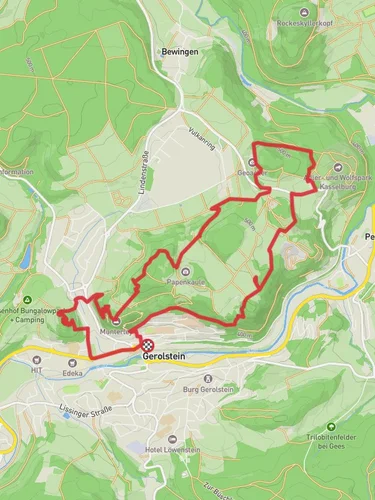
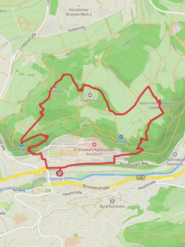
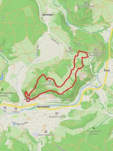
Starting near the picturesque region of Vulkaneifel in Germany, this 9 km (5.6 miles) loop trail offers a delightful mix of natural beauty and historical intrigue. With an elevation gain of approximately 200 meters (656 feet), the Felsenweg and Gerolsteiner Keltenpfad trail is rated as medium difficulty, making it suitable for moderately experienced hikers.
### Getting There
To reach the trailhead, you can either drive or use public transport. If you're driving, set your GPS to the Vulkaneifel region, specifically near the town of Gerolstein. For those using public transport, take a train to Gerolstein station, which is well-connected to major cities like Cologne and Trier. From the station, it's a short taxi ride or a local bus trip to the trailhead.
### Trail Highlights
#### Natural Scenery
The trail meanders through the lush landscapes of the Vulkaneifel, a region known for its volcanic origins. Expect to traverse dense forests, open meadows, and rocky outcrops. The diverse flora includes beech and oak trees, while the fauna features deer, foxes, and a variety of bird species. Keep an eye out for the rare red kite soaring above.
#### Geological Features
One of the most striking features of this trail is the array of volcanic rock formations. These geological wonders are remnants of the region's volcanic past and offer a unique backdrop for your hike. The trail also passes by several small craters and lava fields, adding an extra layer of intrigue.
#### Historical Significance
The Gerolsteiner Keltenpfad section of the trail is steeped in history. This area was once inhabited by the Celts, and you'll find several archaeological sites along the way. Look out for ancient Celtic fortifications and burial mounds, which provide a fascinating glimpse into the past. Informative plaques along the trail offer insights into the lives of the Celts who once called this area home.
### Navigation and Waypoints
To ensure you stay on track, it's highly recommended to use the HiiKER app for navigation. The trail is well-marked, but having a digital map can be invaluable, especially in the denser forest sections. Key waypoints include:
- Start Point: Near Gerolstein (approx. 0 km / 0 miles) - First Scenic Overlook: 2 km (1.2 miles) in, offering panoramic views of the Vulkaneifel - Celtic Fortifications: Around 4 km (2.5 miles) in, where you can explore ancient ruins - Highest Elevation Point: Approximately 5 km (3.1 miles) in, at an elevation of 500 meters (1,640 feet) - Return to Trailhead: Completing the loop back to the starting point at 9 km (5.6 miles)
### Practical Tips
- Footwear: Given the mixed terrain, sturdy hiking boots are recommended. - Weather: The Vulkaneifel region can be unpredictable, so pack a waterproof jacket. - Supplies: Bring enough water and snacks, as there are limited facilities along the trail. - Wildlife: Be respectful of the local wildlife; keep a safe distance and avoid feeding animals.
This trail offers a perfect blend of natural beauty and historical richness, making it a rewarding experience for any hiker.
Reviews
User comments, reviews and discussions about the Felsenweg and Gerolsteiner Keltenpfad, Germany.
5.0
average rating out of 5
11 rating(s)


