The best hikes in Saale-Orla-Kreis
Germany · 17 HiiKER Hikes
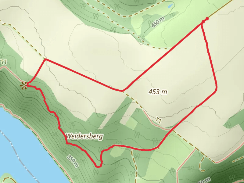
View Hikes on map
What to expect
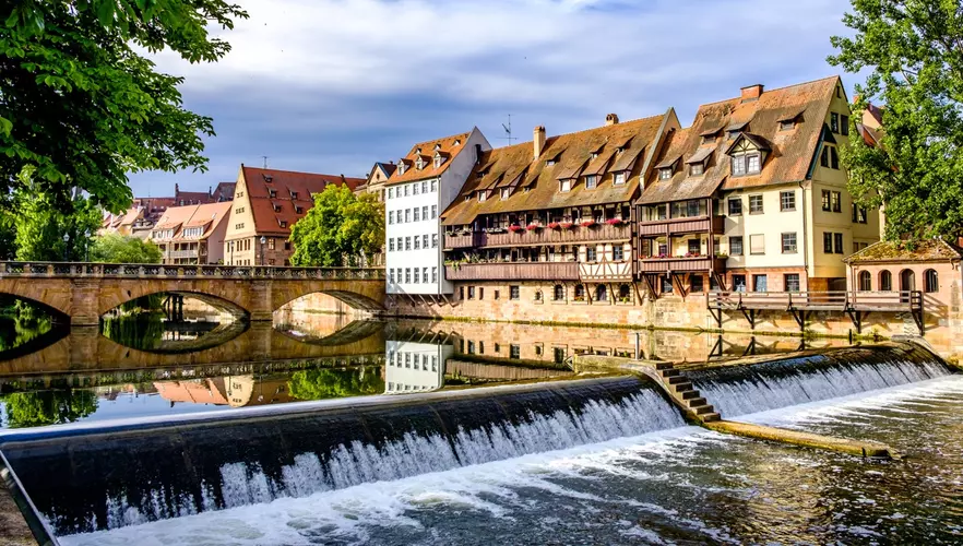
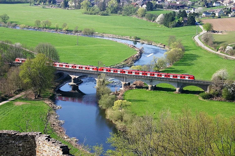
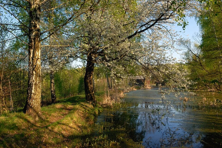
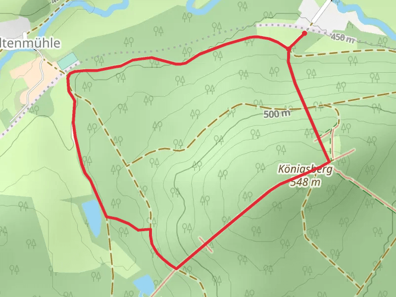
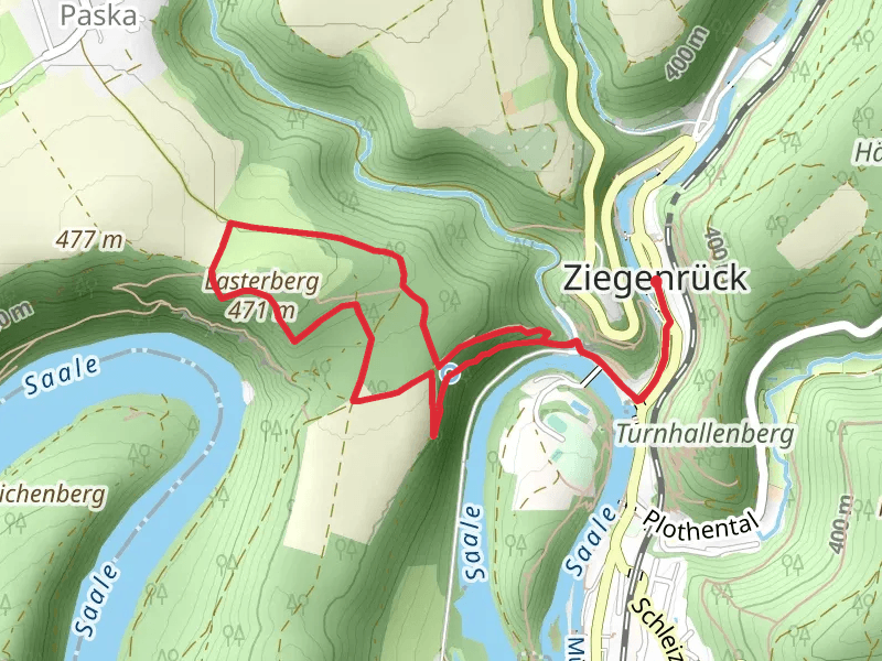
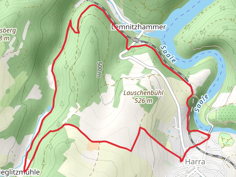
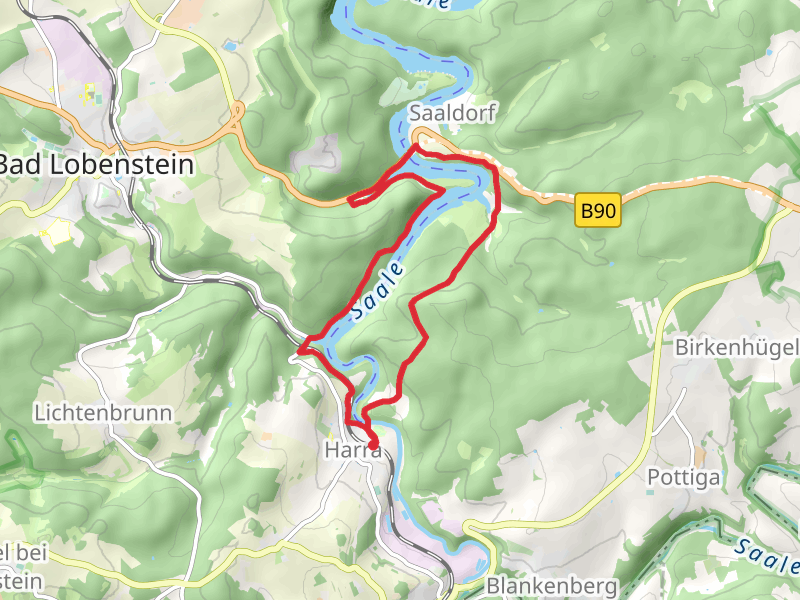
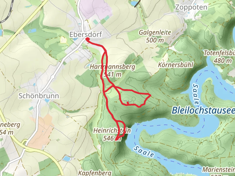
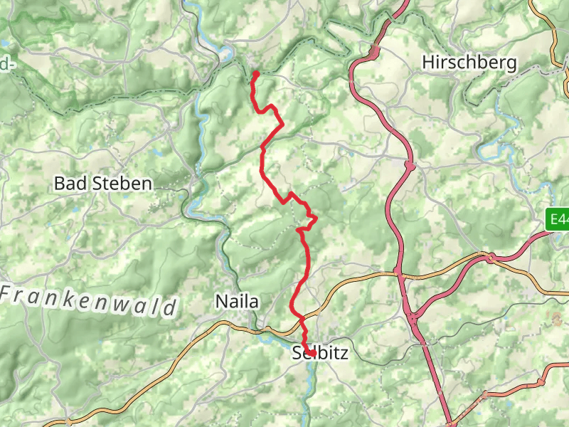
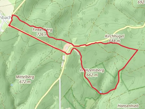
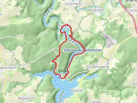
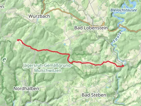
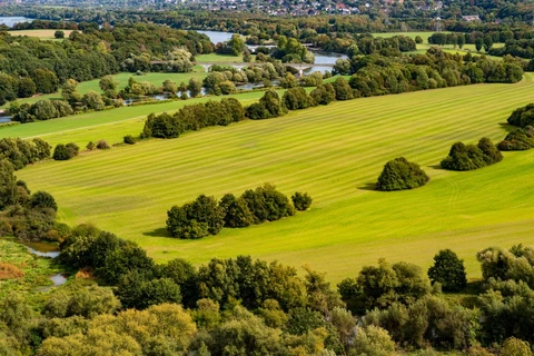
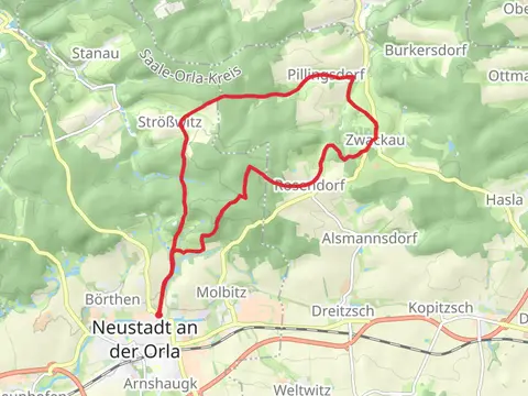
Check out some of the best hiking, walking and backpacking routes in Saale-Orla-Kreis, Germany. The Frankenweg is the most popular trail. The trails have 55 user reviews with great photos and information. There are trails of various difficulty levels including easy and medium. The trail with the highest elevation climb is the Fränkischer Gebirgsweg and the trail with the least amount of climbing is the Dohlen and Pillingsdorf Loop. The longest trail is the Frankenweg at 515.2 km. For a shorter adventure you can try the Königsberg Loop at 2.6 km. Get off line access to Restaurant, Bus Stop, Town, and Water locations and much more with a Hiiker subscription.

Be prepared for hiking in Germany with the HiiKER app