The best hikes in Rheinisch-Bergischer Kreis
Germany · 64 HiiKER Hikes
View Hikes on map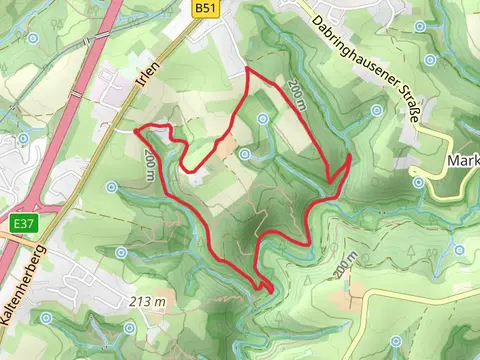
What to expect
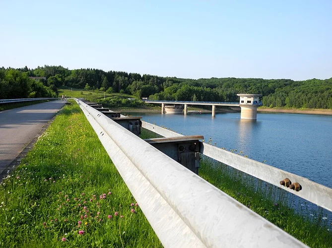
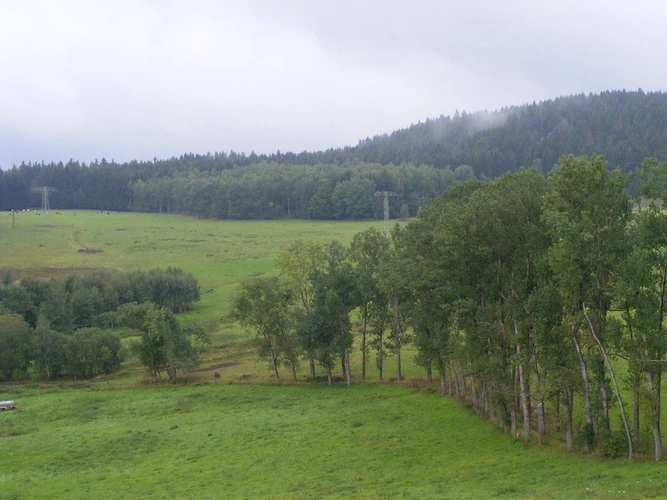
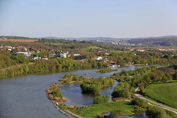
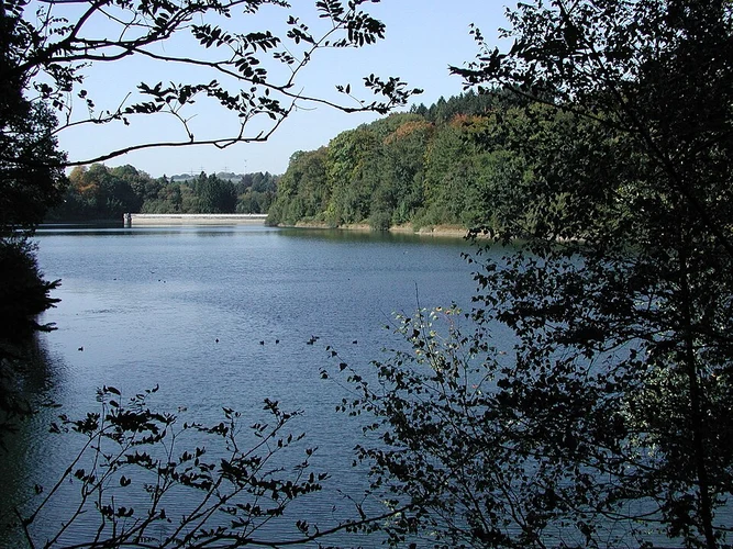
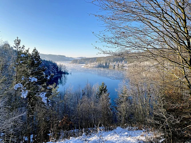
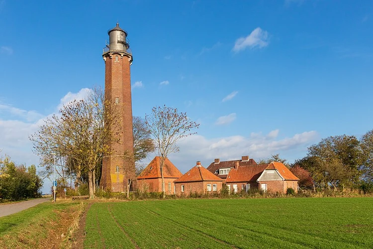
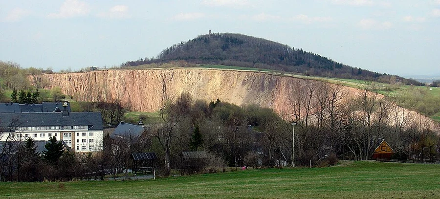
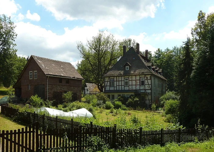
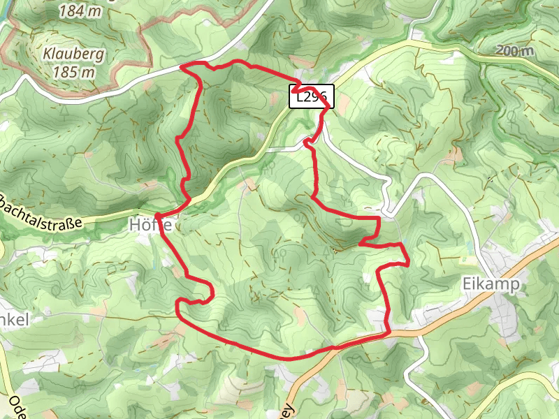
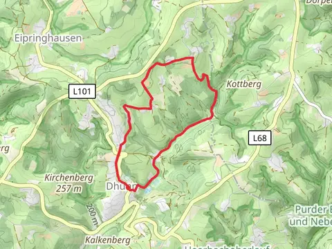
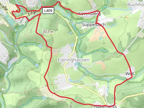
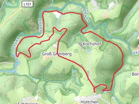
Check out some of the best hiking, walking and backpacking routes in Rheinisch-Bergischer Kreis, Germany. The Naturschutzgebiet Dhünntal und Linnefetal Loop is the most popular trail. The trails have 160 user reviews with great photos and information. There are trails of various difficulty levels including easy and medium. The trail with the highest elevation climb is the Wanderparkplatz Federath Loop and the trail with the least amount of climbing is the Leichlingen to Ruhlach via Wupperweg. The longest trail is the Große Dhünntalsperre Loop via Talsperrenweg at 30.2 km. For a shorter adventure you can try the Bensberger See Loop via Koelnpfad at 1.4 km. Get off line access to Restaurant, gate, Shelter, and parking locations and much more with a Hiiker subscription.

Be prepared for hiking in Germany with the HiiKER app