The best hikes in Oberspreewald-Lausitz - Górne Błota-Łužyca
Germany · 17 HiiKER Hikes
View Hikes on map

What to expect
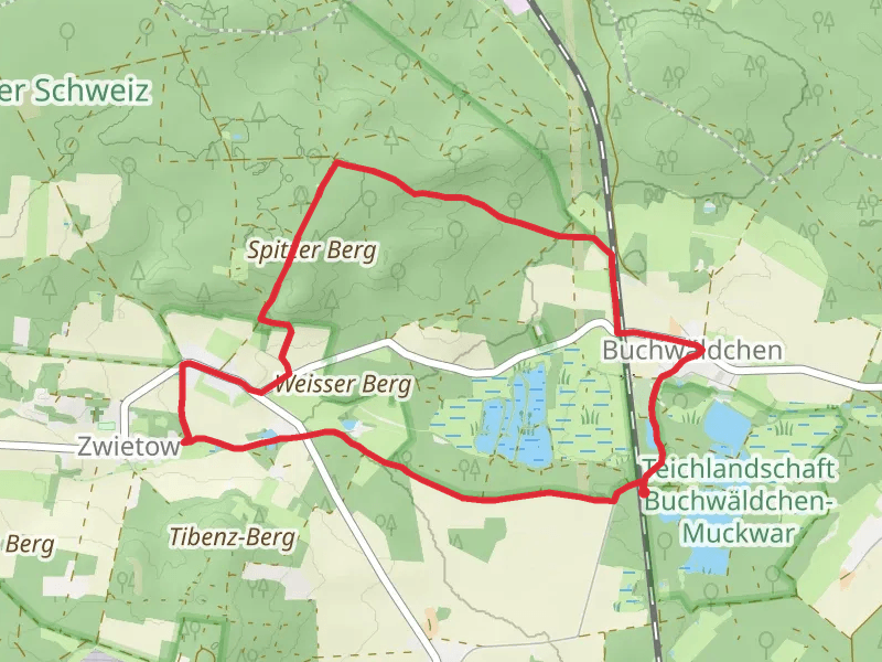
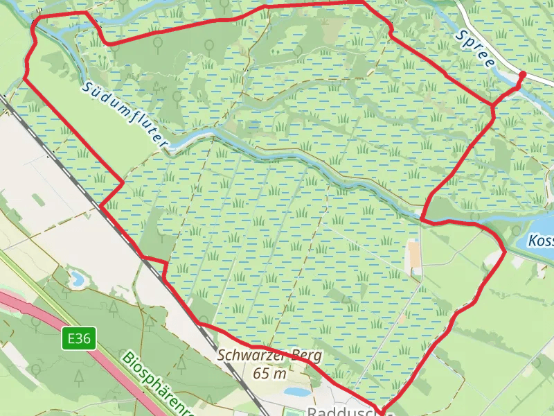
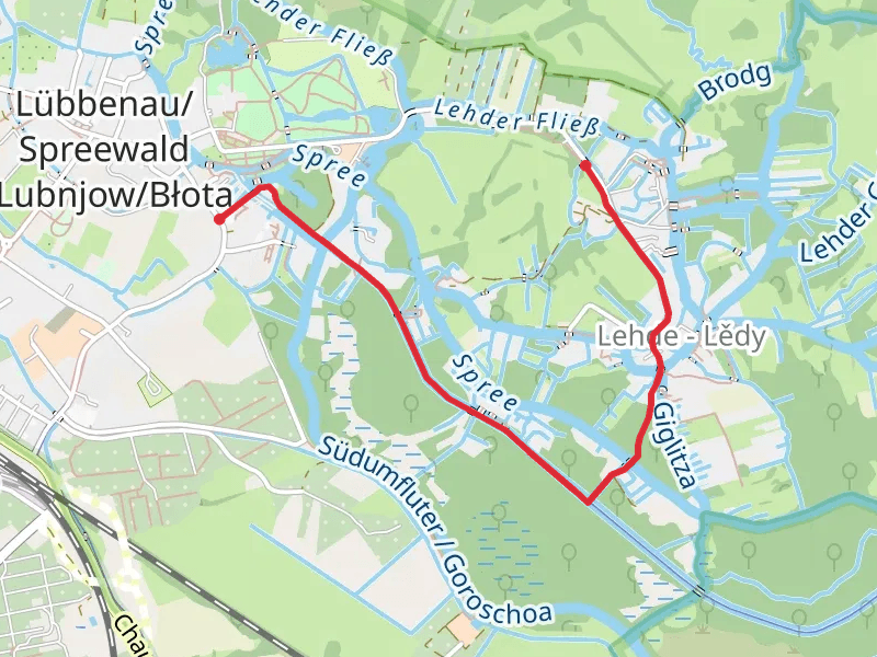
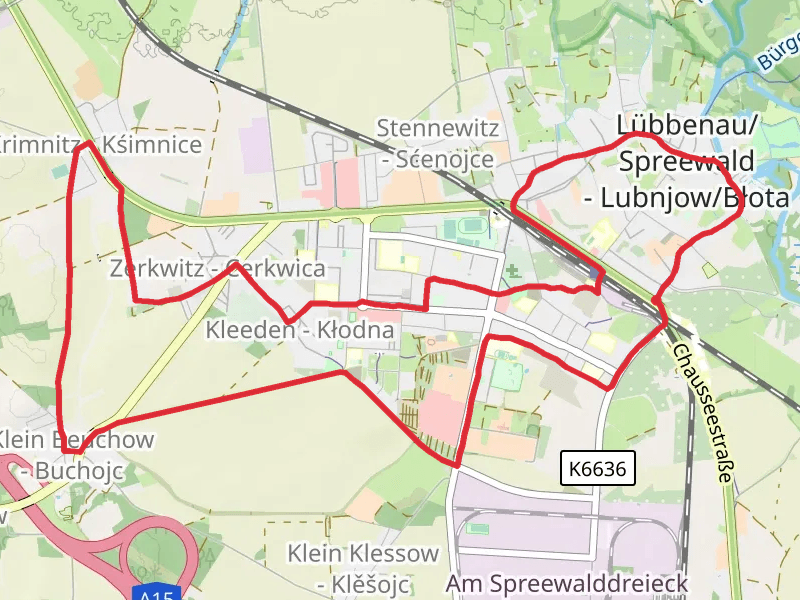
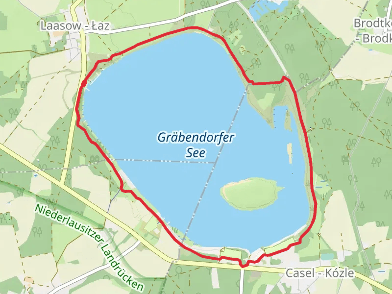
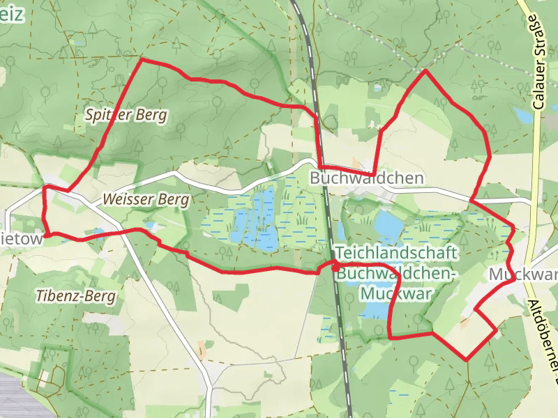
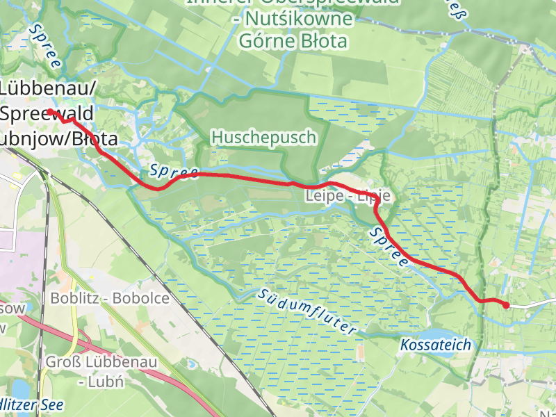
Check out some of the best hiking, walking and backpacking routes in Oberspreewald-Lausitz - Górne Błota-Łužyca, Germany. The Moorlehrpfad Raddusch Loop is the most popular trail. The trails have 40 user reviews with great photos and information. There are trails of various difficulty levels including easy and medium. The trail with the highest elevation climb is the Buchwäldchen and Weißag Loop via Mittelteichgruppe and the trail with the least amount of climbing is the SpreeNav Kanal via Am Neuen Fließ. The longest trail is the Vetschau Loop via Wiesenteich at 18.8 km. For a shorter adventure you can try the SpreeNav Kanal via Am Neuen Fließ at 2.5 km. Get off line access to Shop, Shelter, Town, and Restaurant locations and much more with a Hiiker subscription.

Be prepared for hiking in Germany with the HiiKER app