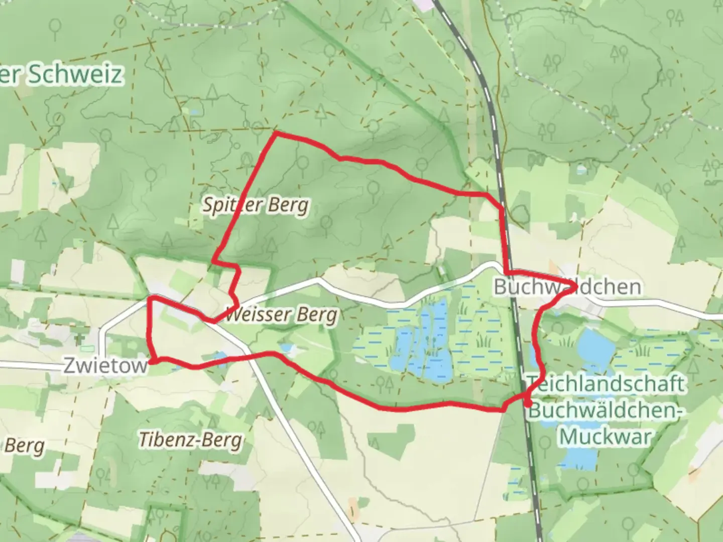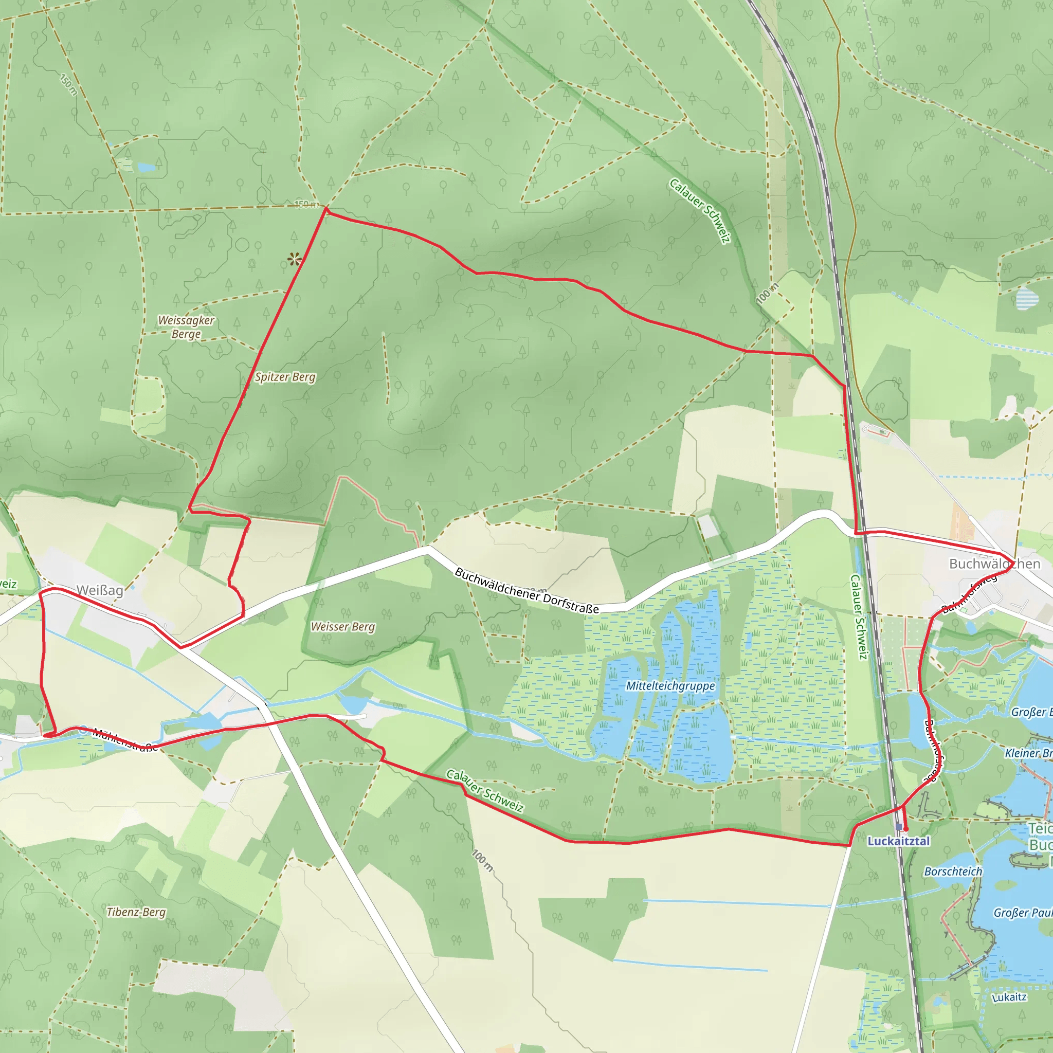
Buchwäldchen and Weißag Loop via Mittelteichgruppe
Download
Preview
Add to list
More
8.8 km
~1 hrs 53 min
82 m
Loop
“Explore the 9 km Buchwäldchen and Weißag Loop for serene ponds, rich biodiversity, and historical intrigue.”
Starting near Oberspreewald-Lausitz - Górne Błota-Łužyca, Germany, the Buchwäldchen and Weißag Loop via Mittelteichgruppe is a captivating 9 km (approximately 5.6 miles) loop trail with no significant elevation gain, making it accessible for a wide range of hikers. The trail is rated as medium difficulty, primarily due to its length and varied terrain.
Getting There To reach the trailhead, you can drive or use public transportation. If driving, set your GPS to the vicinity of Oberspreewald-Lausitz. For those using public transport, the nearest major town is Senftenberg, which is well-connected by train. From Senftenberg, you can take a local bus or taxi to the trailhead.
Trail Overview The trail begins near the Mittelteichgruppe, a series of picturesque ponds that are a haven for birdwatchers. As you start your hike, you'll be greeted by the serene waters and the calls of various bird species. This area is particularly known for its rich biodiversity, so keep your eyes peeled for herons, ducks, and other waterfowl.
Historical Significance The region around Oberspreewald-Lausitz has a deep historical significance. It was once part of the Sorbian cultural area, and you may notice bilingual signs in both German and Sorbian. The Sorbs are a Slavic minority with a rich cultural heritage, and their influence is still evident in local traditions and architecture.
Key Landmarks - **Mittelteichgruppe (0 km / 0 miles):** The starting point, known for its tranquil ponds and birdlife. - **Buchwäldchen Forest (3 km / 1.9 miles):** As you progress, you'll enter the Buchwäldchen Forest, a dense woodland area that offers a cool respite on hot days. The forest is home to a variety of flora and fauna, including deer and wild boar. - **Weißag (6 km / 3.7 miles):** Midway through the loop, you'll reach the small village of Weißag. This quaint village is a great spot to take a break and perhaps enjoy a picnic. The village church, with its traditional architecture, is worth a visit. - **Return to Mittelteichgruppe (9 km / 5.6 miles):** The trail loops back to the starting point, offering a different perspective on the ponds and their surrounding landscapes.
Navigation and Safety For navigation, it's highly recommended to use the HiiKER app, which provides detailed maps and real-time updates. The trail is well-marked, but having a reliable navigation tool ensures you stay on track.
Wildlife and Nature The trail offers a rich tapestry of natural beauty. In addition to the birdlife around the ponds, the forested sections are home to various mammals and a plethora of plant species. Depending on the season, you might encounter blooming wildflowers, mushrooms, and a vibrant array of autumn foliage.
Practical Tips - **Footwear:** Given the varied terrain, sturdy hiking boots are recommended. - **Water and Snacks:** Carry sufficient water and snacks, especially if you plan to take breaks and enjoy the scenery. - **Weather:** Check the weather forecast before heading out, as conditions can change rapidly.
This 9 km loop offers a blend of natural beauty, historical intrigue, and a moderate challenge, making it a rewarding hike for those looking to explore the Oberspreewald-Lausitz region.
What to expect?
Activity types
Comments and Reviews
User comments, reviews and discussions about the Buchwäldchen and Weißag Loop via Mittelteichgruppe, Germany.
5.0
average rating out of 5
3 rating(s)
