The best hikes in Hochtaunuskreis
Germany · 77 HiiKER Hikes
View Hikes on map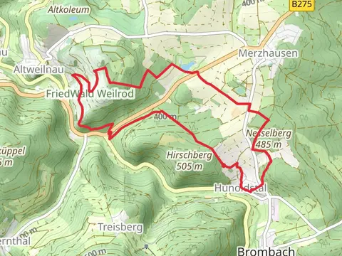

What to expect
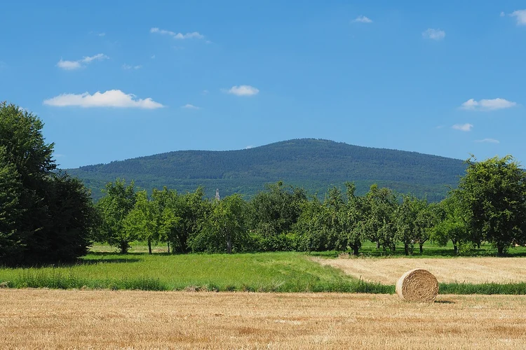
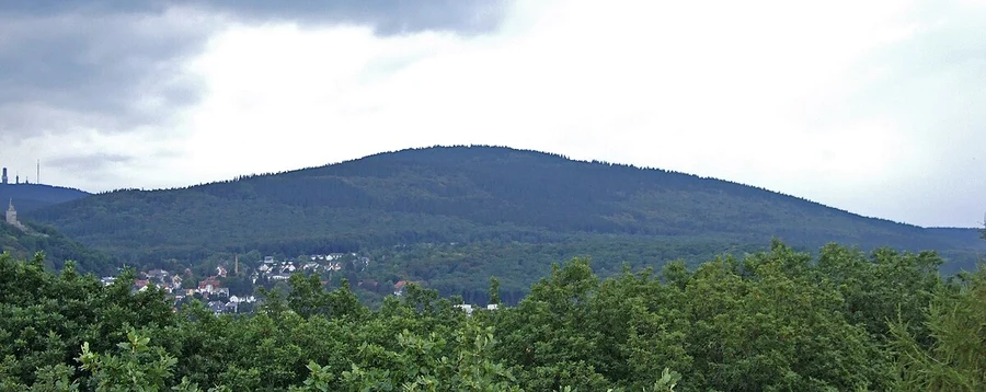
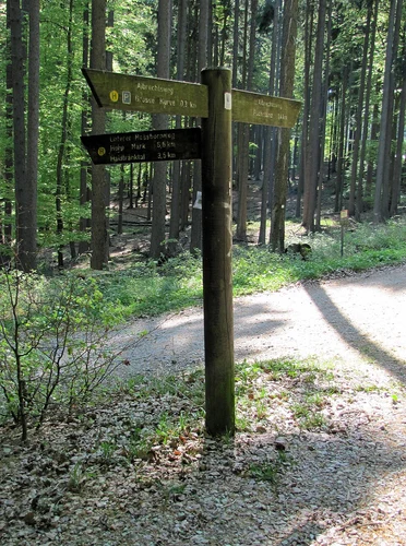
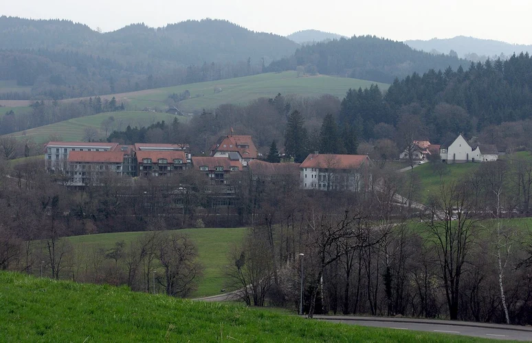
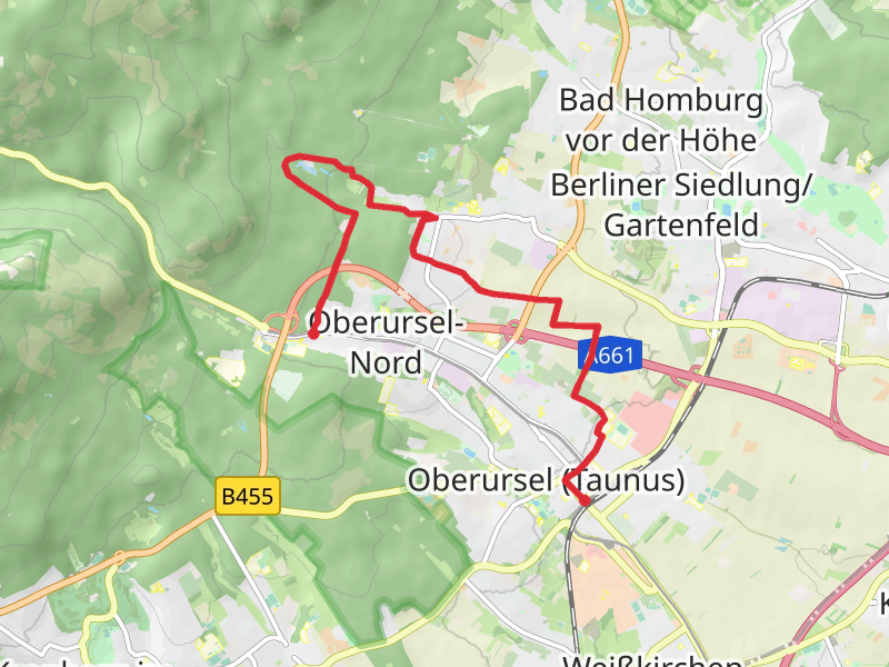
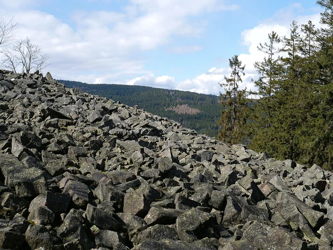
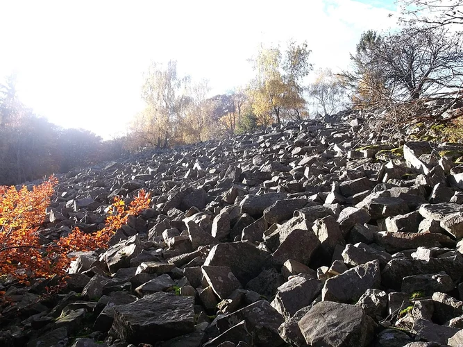
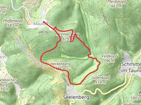
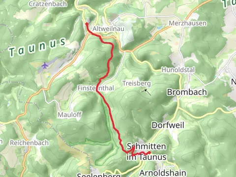
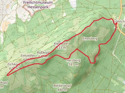
Check out some of the best hiking, walking and backpacking routes in Hochtaunuskreis, Germany. The Limeswanderweg and Taunusklub Route Loop is the most popular trail. The trails have 219 user reviews with great photos and information. There are trails of various difficulty levels including easy, medium, and extra difficult. The trail with the highest elevation climb is the Großer Feldberg Loop and the trail with the least amount of climbing is the Sandweg and Urselbach Muehlenwanderweg. The longest trail is the Wehrheim and Grober Steinbruch Loop at 18.7 km. For a shorter adventure you can try the Sandweg and Urselbach Muehlenwanderweg at 1.2 km. Get off line access to information, Shelter, gate, and parking locations and much more with a Hiiker subscription.

Be prepared for hiking in Germany with the HiiKER app