Download
Preview
Add to list
More
1.2 km
~15 min
12 m
Loop
“The 1 km Sandweg and Urselbach Muehlenwanderweg offers lush forests, historical mill ruins, and wildlife encounters.”
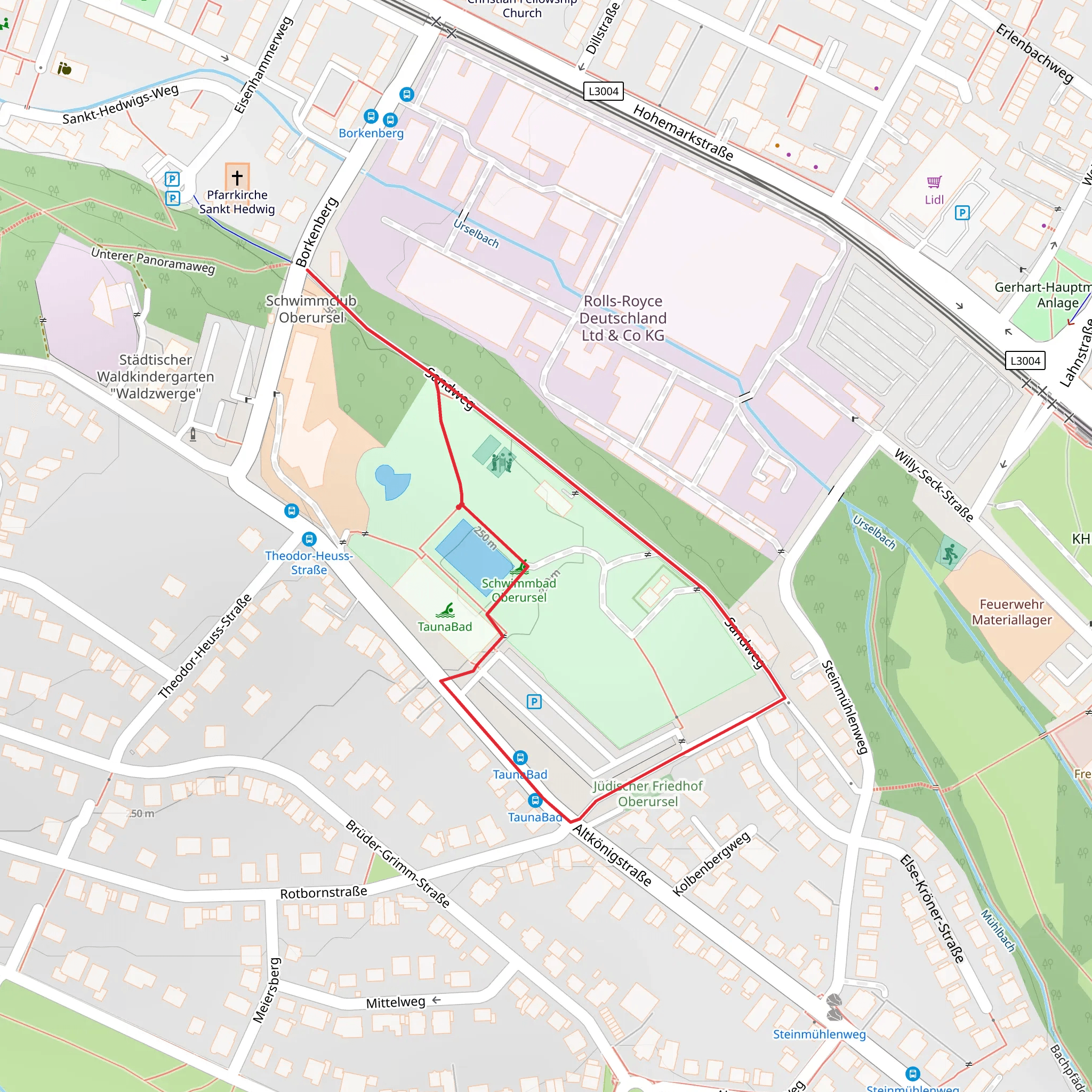
Starting near Hochtaunuskreis, Germany, the Sandweg and Urselbach Muehlenwanderweg is a delightful loop trail that spans approximately 1 km (0.62 miles) with no significant elevation gain, making it accessible for most hikers. Despite its short distance, the trail is rated as medium difficulty due to some uneven terrain and potential muddy patches, especially after rain.
Getting There
To reach the trailhead, you can drive or use public transport. If driving, set your GPS to Hochtaunuskreis, Germany, and look for parking near the start of the trail. For those using public transport, take a train to the nearest station in Oberursel (Taunus) and then a local bus towards the Hochtaunuskreis area. The trailhead is conveniently located near the bus stop, making it easy to access.
Trail Highlights
#### Natural Beauty
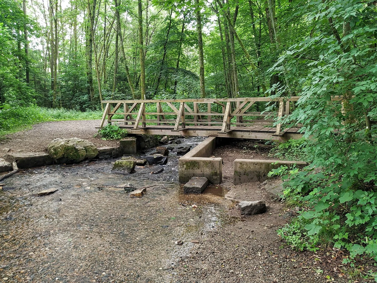
As you embark on the Sandweg and Urselbach Muehlenwanderweg, you'll be greeted by a lush, forested environment. The trail meanders through dense woodlands, offering a serene escape from urban life. Keep an eye out for native flora such as oak, beech, and pine trees. During spring and summer, the forest floor is often carpeted with wildflowers, adding a splash of color to your hike.
#### Wildlife
The area is home to a variety of wildlife. You might spot deer grazing in the early morning or late afternoon. Birdwatchers will enjoy the diverse avian population, including woodpeckers, owls, and various songbirds. Small mammals like squirrels and hedgehogs are also common sights along the trail.
Historical Significance
The Urselbach Muehlenwanderweg is steeped in history. The trail follows the path of the Urselbach stream, which historically powered several mills in the region. These mills were crucial for local agriculture and industry, grinding grain and processing other materials. Although many of the original mills are no longer operational, you can still see remnants of these historical structures along the trail. Informational plaques provide insights into the history and significance of each site, making your hike both educational and enjoyable.
Navigation
For navigation, it's highly recommended to use the HiiKER app, which provides detailed maps and real-time updates. The trail is well-marked, but having a reliable navigation tool ensures you stay on the right path and can fully enjoy your hike without any worries.
Points of Interest
#### Urselbach Stream
The trail closely follows the Urselbach stream, offering picturesque views and the soothing sound of flowing water. There are several spots where you can stop and enjoy the scenery, perhaps even dipping your toes in the cool, clear water.
#### Mill Ruins
Approximately halfway through the loop, you'll come across the ruins of an old mill. This site is a great place to take a break and explore. The stone foundations and remaining structures give a glimpse into the past and the ingenuity of early mill builders.
#### Scenic Overlook
Towards the end of the trail, there's a small clearing that offers a scenic overlook of the surrounding forest. This is an excellent spot for photography or simply to take a moment and appreciate the natural beauty of the Hochtaunuskreis region.
Final Tips
Wear sturdy hiking boots, as the trail can be uneven and slippery in places. Bring water and snacks, especially if you plan to take your time exploring the historical sites and natural beauty. Always check the weather forecast before heading out, and consider using the HiiKER app for the most accurate trail conditions and updates.
Activity types
Comments and Reviews
User comments, reviews and discussions about the Sandweg and Urselbach Muehlenwanderweg, Germany.
4.5
average rating out of 5
2 rating(s)

