The best hikes in Hagen
Germany · 21 HiiKER Hikes
View Hikes on map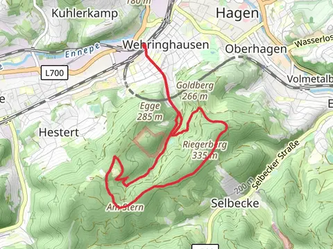
What to expect
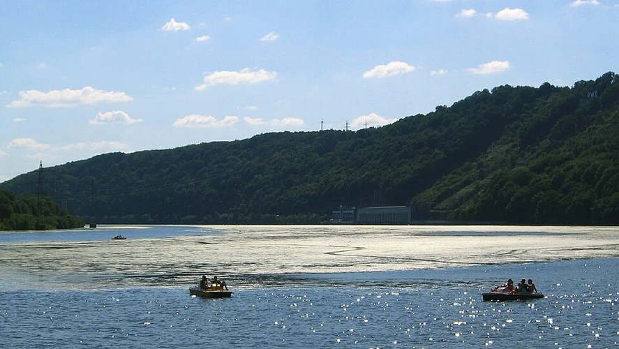
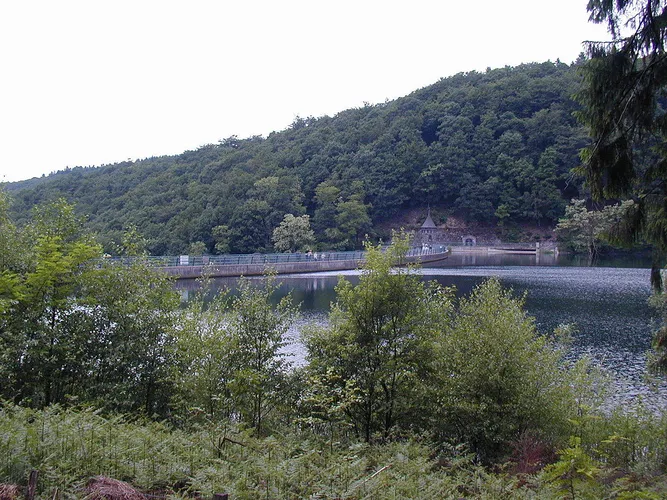
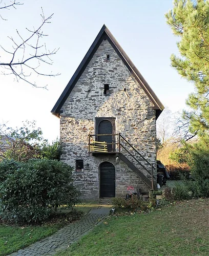
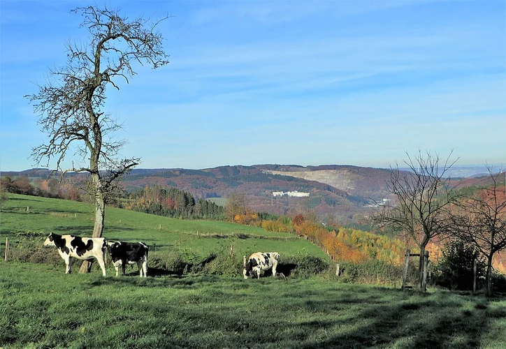
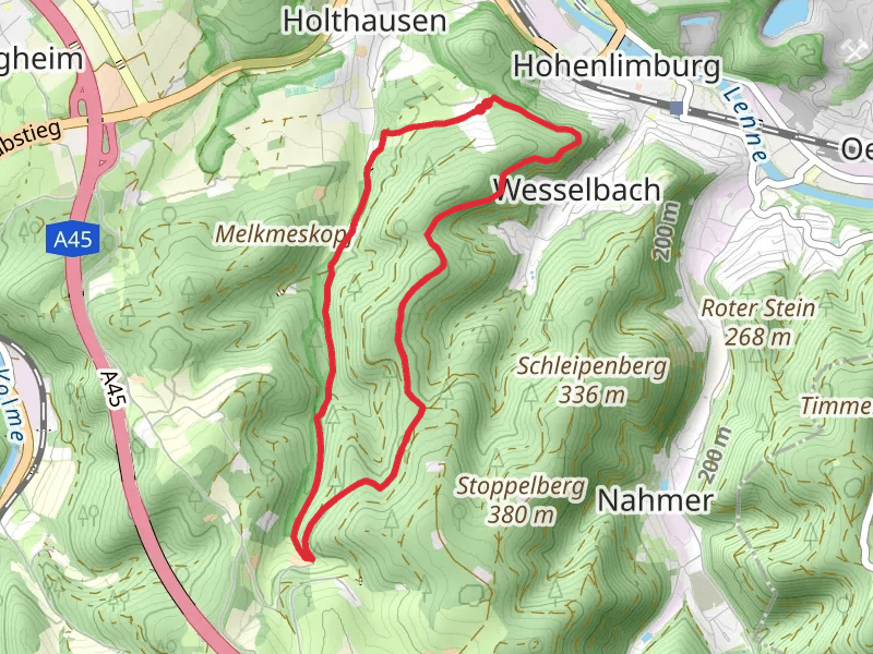
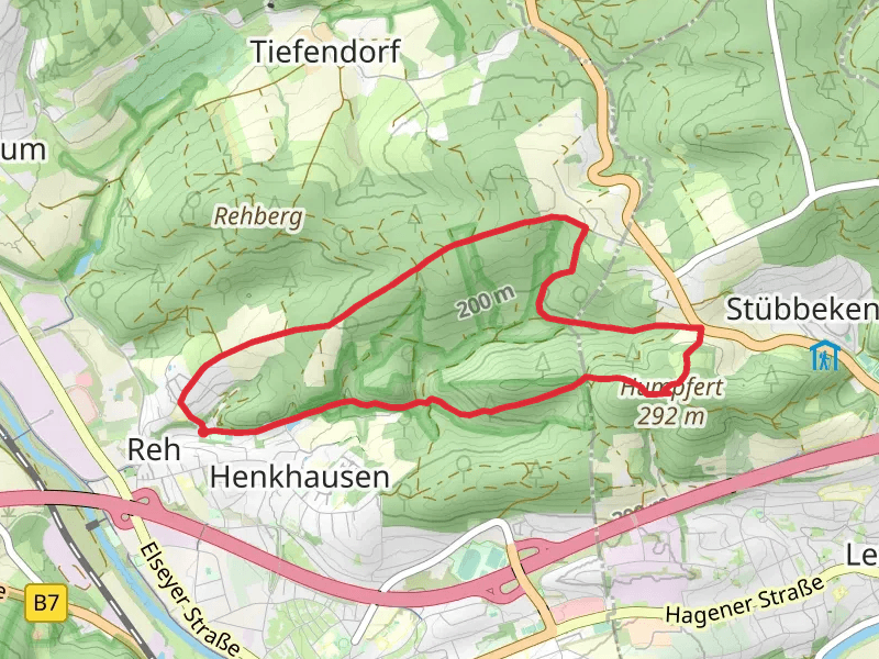
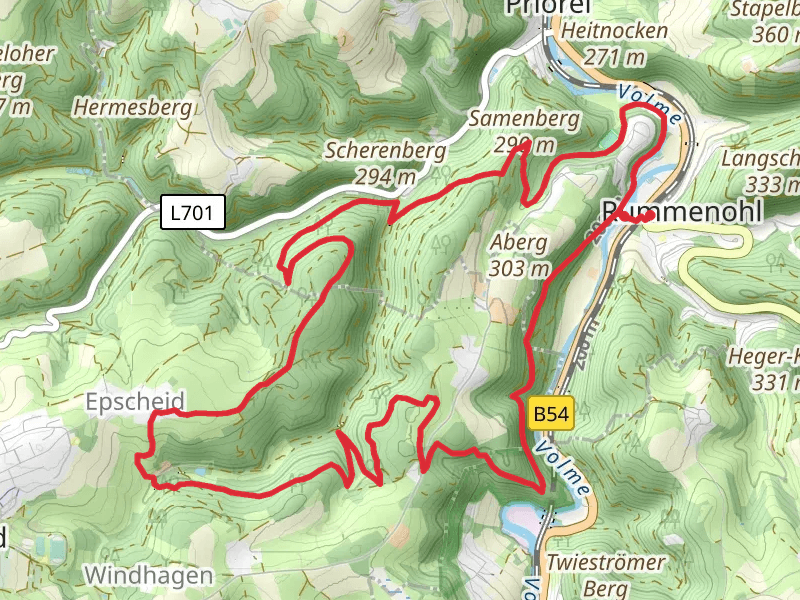
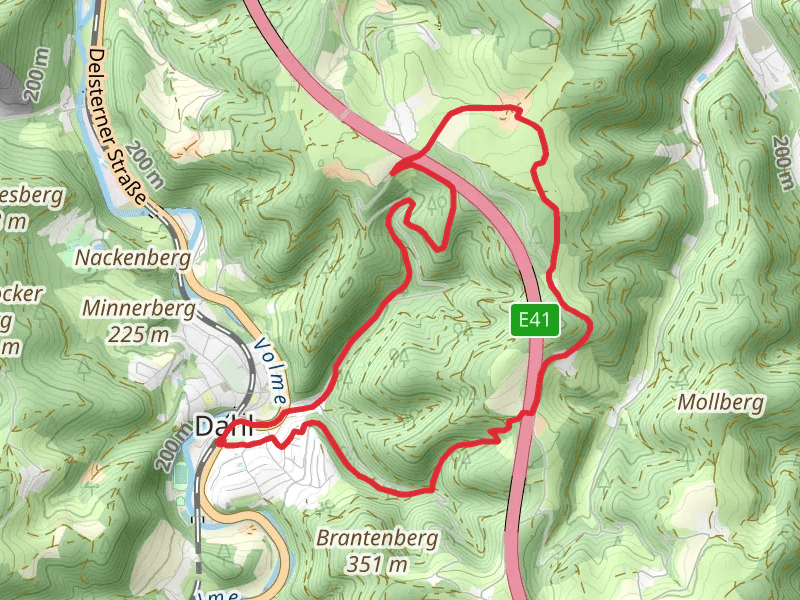
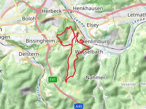
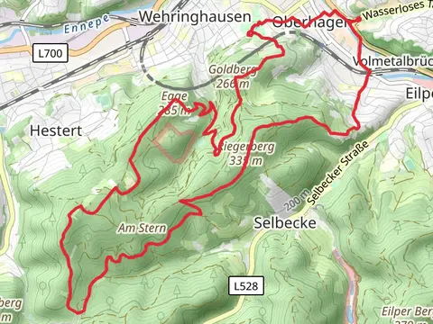
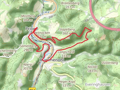
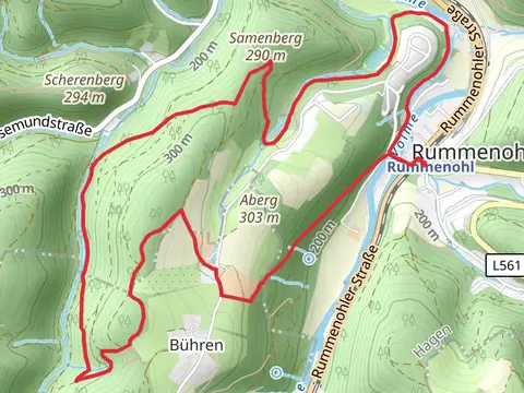
Check out some of the best hiking, walking and backpacking routes in Hagen, Germany. The Hengsteysee Loop via Hoehlenweg and Rund um Boele B is the most popular trail. The trails have 45 user reviews with great photos and information. There are trails of various difficulty levels including easy and medium. The trail with the highest elevation climb is the Harkortweg and Rumscheider Femelinde and the trail with the least amount of climbing is the Hengsteysee Loop via Hoehlenweg and Rund um Boele B. The longest trail is the Rummenohl and Schalksmuhle Loop at 18.9 km. For a shorter adventure you can try the Dahler Hoehenring and Ambrocker Weg Loop at 3.3 km. Get off line access to Shop, parking, Restaurant, and Shelter locations and much more with a Hiiker subscription.

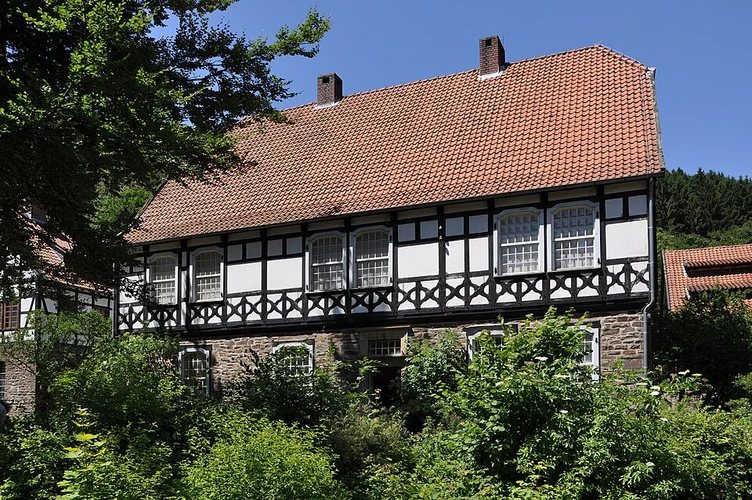
Be prepared for hiking in Germany with the HiiKER app