The best hikes in Forchheim
Germany · 102 HiiKER Hikes
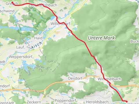
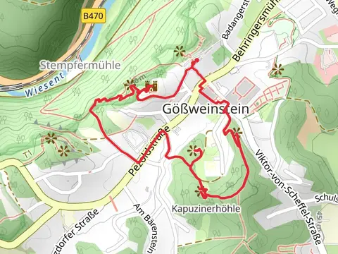
View Hikes on map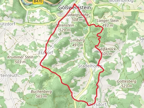

What to expect
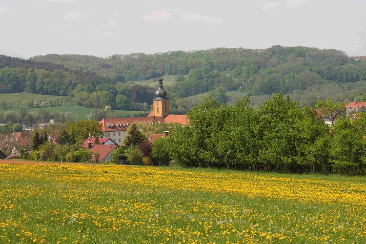
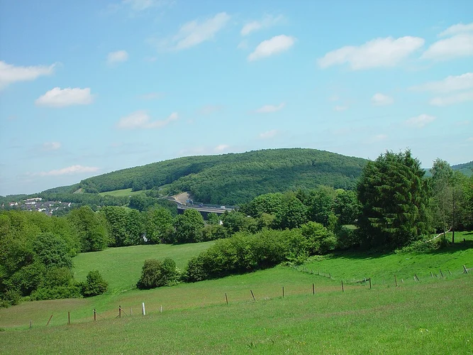
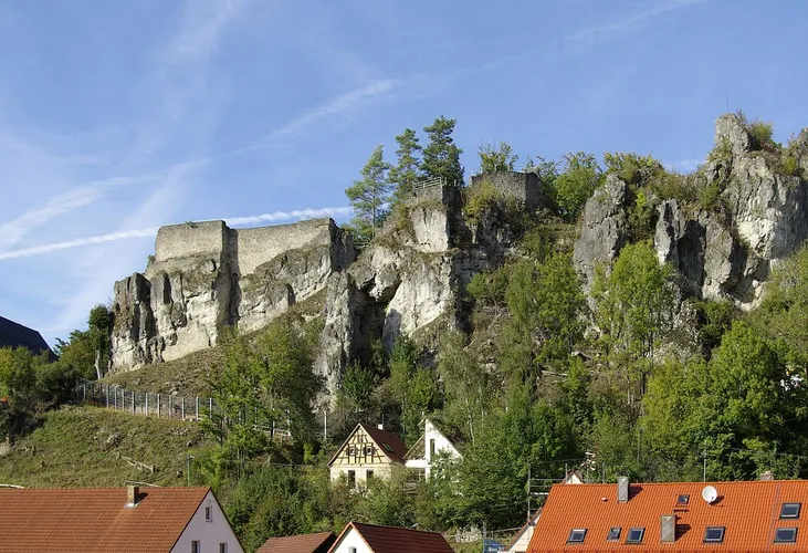
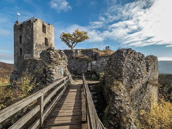
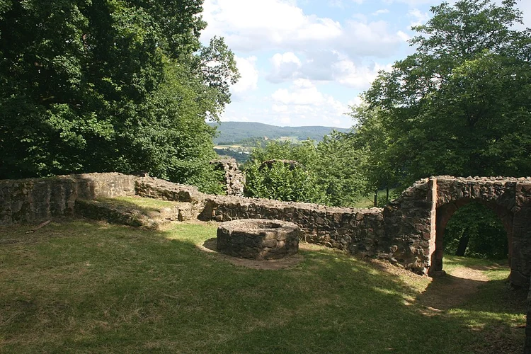
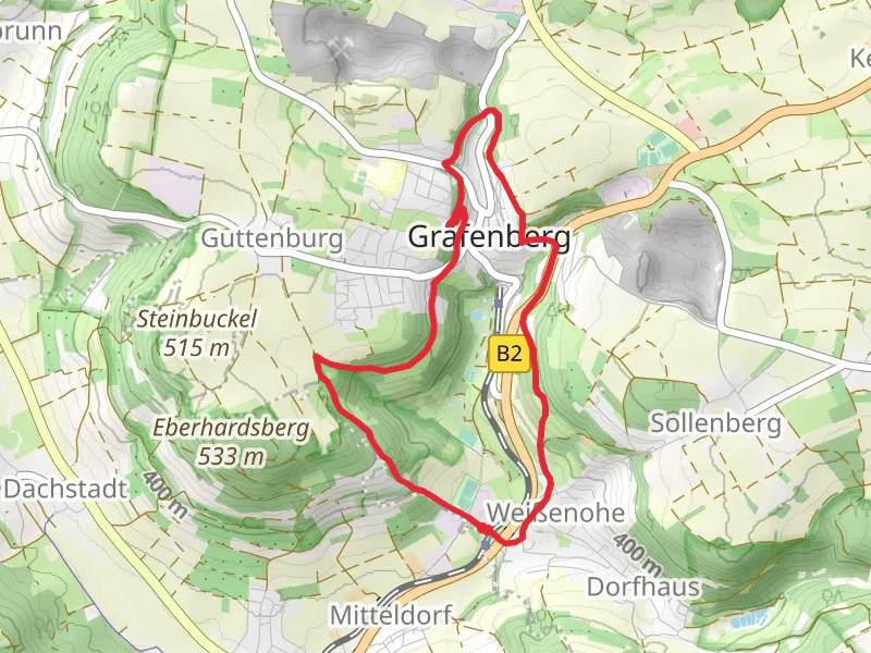
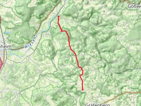
Check out some of the best hiking, walking and backpacking routes in Forchheim, Germany. The Rodenstein, Ehrenbürg and Walberla Loop is the most popular trail. The trails have 190 user reviews with great photos and information. There are trails of various difficulty levels including easy, medium, difficult, and extra difficult. The trail with the highest elevation climb is the Wannbach and Rotelfels Loop and the trail with the least amount of climbing is the Wiesent via Lauferlebnis Frankische Schweiz. The longest trail is the Brocksfels, Rosenmullerhohle, Rottelfelsen, Adlerstein and Ruine Neideck Loop at 22.1 km. For a shorter adventure you can try the Wiesent via Lauferlebnis Frankische Schweiz at 1.7 km. Get off line access to information, Restaurant, Shelter, and Town locations and much more with a Hiiker subscription.

Be prepared for hiking in Germany with the HiiKER app