Walberla, Rodenstein, Moritzbach Wasserfall and Burgstall Burgstein via Jubilaeumsweg
Download
Preview
Add to list
More
13.2 km
~3 hrs 34 min
569 m
Loop
“Experience panoramic views, historical ruins, and diverse wildlife on this scenic 13 km loop near Forchheim.”
Starting near Forchheim, Germany, this 13 km (8 miles) loop trail offers a delightful mix of natural beauty, historical landmarks, and moderate physical challenge. With an elevation gain of around 500 meters (1,640 feet), hikers can expect a rewarding experience that combines scenic vistas, cultural heritage, and diverse wildlife.
Getting There Forchheim is well-connected by public transport. If you're coming by train, Forchheim station is the nearest major stop. From there, you can take a local bus or taxi to the trailhead. If you're driving, there are parking facilities available near the starting point.
Trail Highlights
#### Walberla Plateau The trail begins with a gradual ascent towards the Walberla Plateau, also known as Ehrenbürg. This area is renowned for its panoramic views of the Franconian Switzerland region. The plateau is a popular spot for paragliding, so you might catch sight of colorful gliders soaring above. The flora here is diverse, with wildflowers blooming in the spring and summer months.
#### Rodenstein Continuing along the trail, you'll reach Rodenstein, a rocky outcrop that offers another excellent vantage point. The elevation gain here is moderate, making it a good spot to take a break and enjoy the scenery. The area is also home to various bird species, so keep an eye out for kestrels and other raptors.
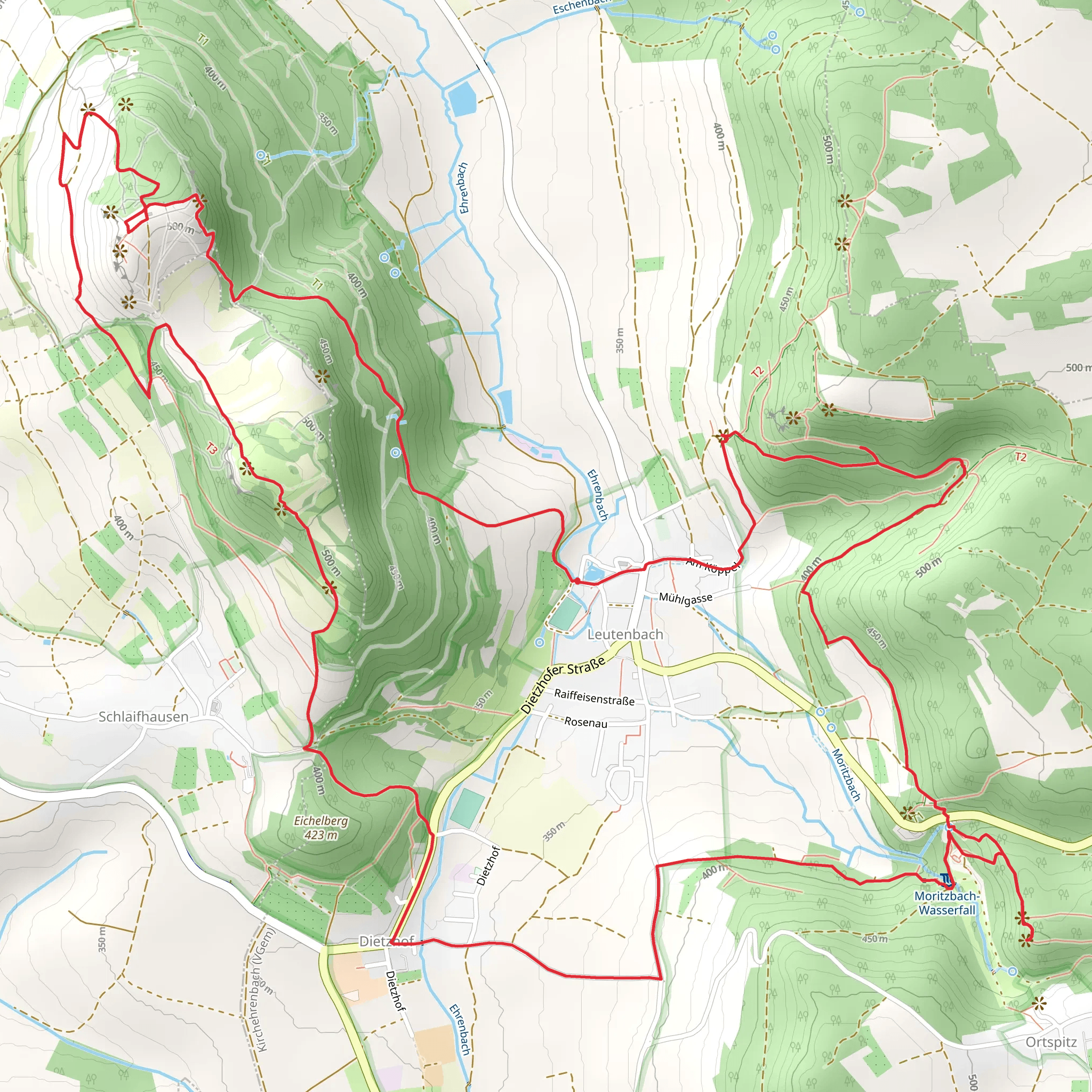
#### Moritzbach Wasserfall Around the halfway mark, approximately 6.5 km (4 miles) into the hike, you'll come across the Moritzbach Wasserfall. This small but picturesque waterfall is a great place to pause and refresh. The surrounding forest is lush and provides a cool, shaded environment, perfect for a mid-hike respite.
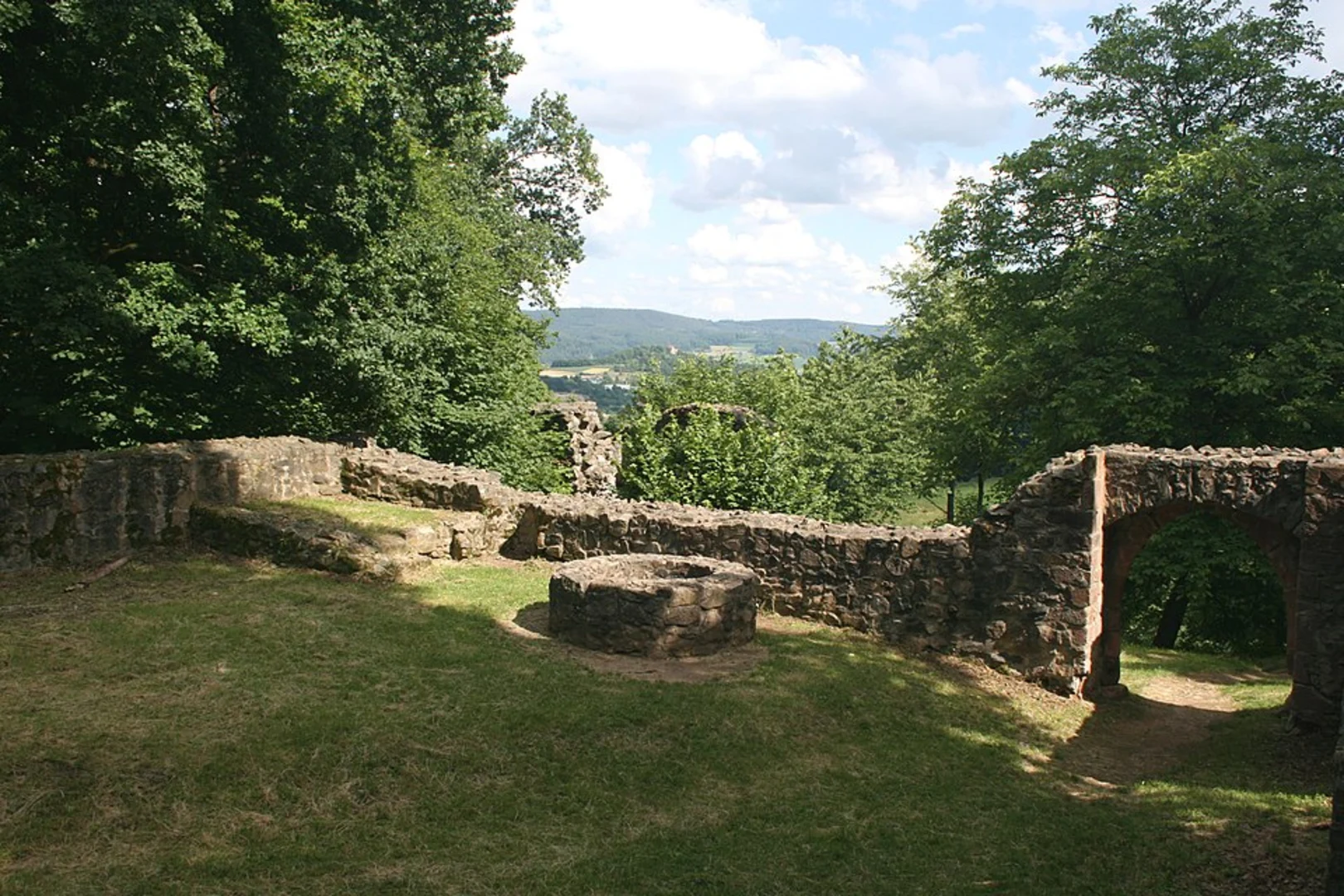
#### Burgstall Burgstein As you continue, you'll encounter Burgstall Burgstein, the remnants of a medieval castle. This site offers a glimpse into the region's historical significance. The ruins are modest but intriguing, and the area is often less crowded, providing a peaceful atmosphere for exploration.
Navigation and Safety The trail is well-marked, but it's always a good idea to have a reliable navigation tool. HiiKER is an excellent app for this purpose, offering detailed maps and real-time tracking to ensure you stay on course. The terrain can be uneven in places, so sturdy hiking boots are recommended.
Flora and Fauna The trail traverses various ecosystems, from open meadows to dense forests. In spring, the meadows are awash with wildflowers, while the forests offer a cool retreat in the summer. Wildlife is abundant, with deer, foxes, and a variety of bird species commonly spotted.
Historical Significance The region around Forchheim has a rich history dating back to medieval times. The ruins of Burgstall Burgstein are a testament to the area's strategic importance in centuries past. The trail itself follows ancient paths that have been used for generations, adding a layer of historical depth to your hike.
Final Stretch The final leg of the trail loops back towards Forchheim, offering a gentle descent that allows you to take in the last of the scenic views. The trailhead is easily accessible, making it convenient to return to your starting point, whether you're catching a train or heading back to your car.
This trail offers a balanced mix of natural beauty, moderate physical challenge, and historical intrigue, making it a rewarding experience for hikers of all levels.
What to expect?
Activity types
Comments and Reviews
User comments, reviews and discussions about the Walberla, Rodenstein, Moritzbach Wasserfall and Burgstall Burgstein via Jubilaeumsweg, Germany.
4.71
average rating out of 5
7 rating(s)
