Download
Preview
Add to list
More
7.1 km
~1 hrs 43 min
191 m
Loop
“The Hiltpoltstein Gelbring Loop is a scenic, moderately challenging 7 km hike with historical and natural highlights.”
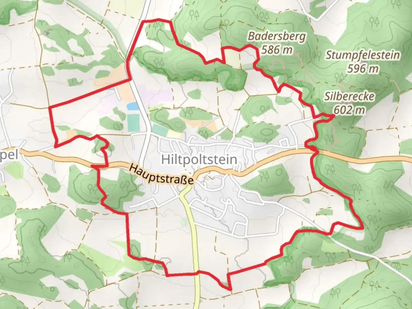
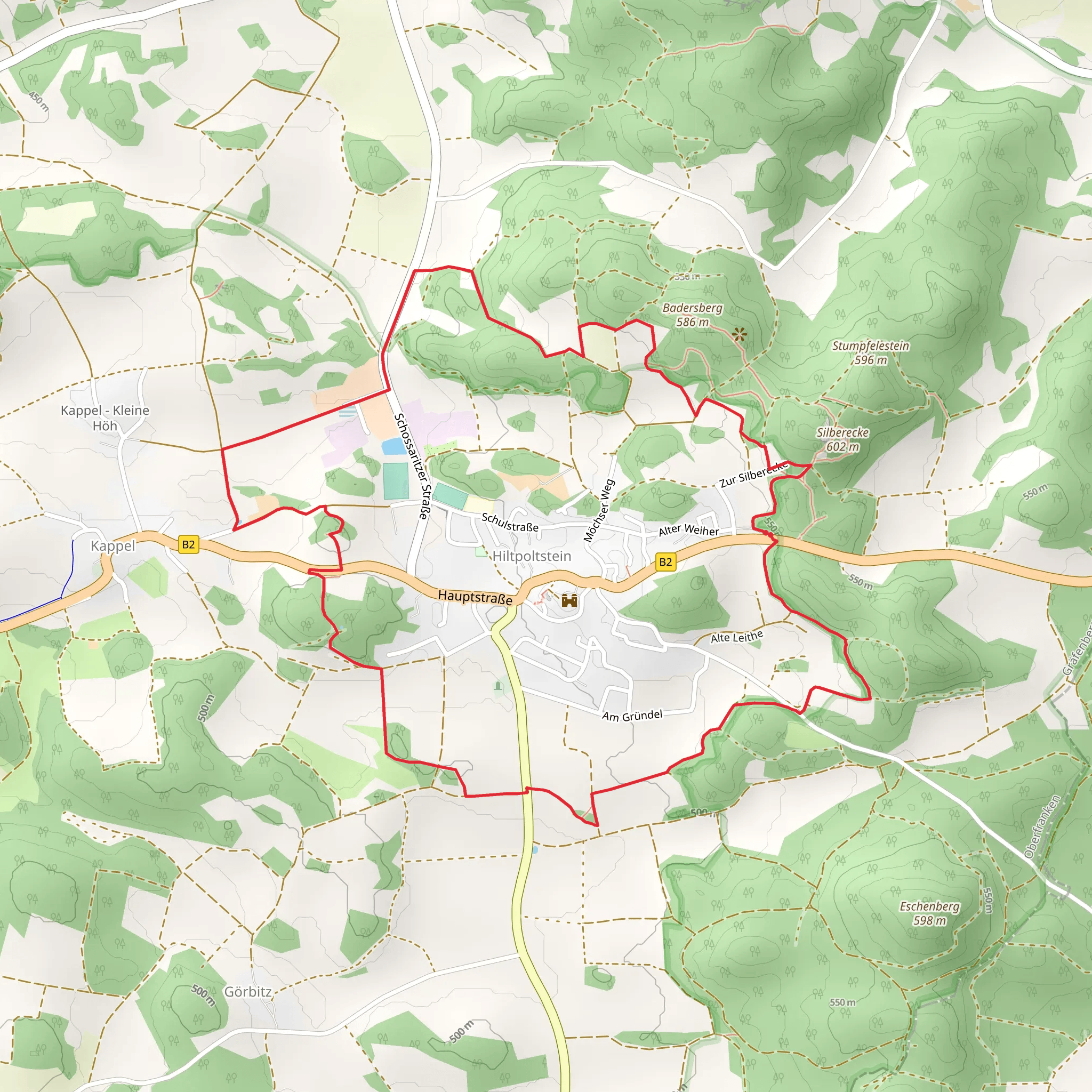
Starting near Forchheim, Germany, the Hiltpoltstein Gelbring Loop is a delightful 7 km (4.35 miles) trail with an elevation gain of around 100 meters (328 feet). This loop trail is rated as medium difficulty, making it suitable for moderately experienced hikers.### Getting There To reach the trailhead, you can drive or use public transport. If driving, head towards Forchheim and follow signs to Hiltpoltstein. There is parking available near the trailhead. For those using public transport, take a train to Forchheim and then a local bus towards Hiltpoltstein. The nearest significant landmark to the trailhead is the Hiltpoltstein Castle, which is a short walk away.### Trail Navigation For navigation, it is highly recommended to use the HiiKER app, which provides detailed maps and real-time updates. The trail is well-marked, but having a reliable navigation tool will enhance your hiking experience.### Trail Highlights The trail begins with a gentle ascent through mixed forests, offering a serene environment filled with the sounds of birds and rustling leaves. After approximately 1.5 km (0.93 miles), you will reach a small clearing that provides a panoramic view of the surrounding Franconian landscape. This is a great spot for a short break and some photos.### Historical Significance Around the 3 km (1.86 miles) mark, you will come across the ruins of an old watchtower. This tower dates back to the medieval period and was part of the region's defensive network. Take a moment to explore the ruins and imagine the historical significance of this structure.### Flora and Fauna As you continue, the trail meanders through a variety of ecosystems, including deciduous forests and open meadows. Keep an eye out for local wildlife such as deer, foxes, and a variety of bird species. The flora is equally diverse, with wildflowers blooming in the spring and summer months.### Midpoint and Elevation Gain At the midpoint of the trail, you will have gained most of the elevation, approximately 50 meters (164 feet). This section offers a mix of gentle slopes and steeper inclines, providing a good workout without being overly strenuous.### Scenic Views and Landmarks Around the 5 km (3.1 miles) mark, you will encounter another scenic viewpoint, this time overlooking the village of Hiltpoltstein and its iconic castle. This is another excellent spot for a break and some more photos.### Final Stretch The final 2 km (1.24 miles) of the trail are mostly downhill, leading you back through lush forests and eventually returning you to the trailhead. This section is particularly beautiful in the autumn when the leaves change color, creating a vibrant tapestry of reds, oranges, and yellows.### Practical Tips - Wear sturdy hiking boots as the trail can be uneven in places. - Bring enough water and snacks, especially if you plan to take breaks at the scenic viewpoints. - Check the weather forecast before heading out, as the trail can become slippery after rain.This loop trail offers a perfect blend of natural beauty, historical landmarks, and moderate physical challenge, making it a rewarding experience for any hiker.
What to expect?
Activity types
Comments and Reviews
User comments, reviews and discussions about the Hiltpoltstein Gelbring Loop, Germany.
4.0
average rating out of 5
1 rating(s)
