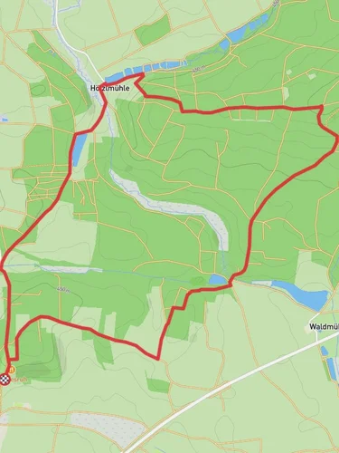
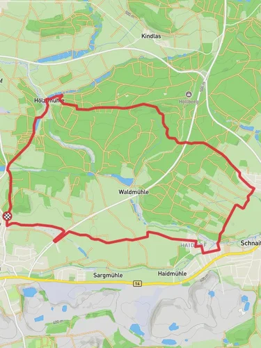
13.3 km
~3 hrs 4 min
253 m
“Explore lush forests, historical landmarks, and panoramic vistas on this scenic 13 km loop near Amberg-Sulzbach.”
Starting near the picturesque town of Amberg-Sulzbach in Germany, this 13 km (8 miles) loop trail offers a delightful mix of natural beauty and historical intrigue. With an elevation gain of approximately 200 meters (656 feet), the trail is rated as medium difficulty, making it accessible for most hikers with a moderate level of fitness.
### Getting There To reach the trailhead, you can either drive or use public transport. If driving, set your GPS to Amberg-Sulzbach, and you will find ample parking options near the starting point. For those using public transport, take a train to Amberg station. From there, local buses can take you closer to the trailhead, or you can opt for a short taxi ride.
### Trail Highlights #### Historical Significance The trail is steeped in history, particularly with its connection to the Main Donau Weg and Muehlstein Bleierzweg. These paths were historically significant trade routes, and remnants of old mining operations can still be seen along the way. The Muehlstein Bleierzweg, in particular, was known for its lead ore mining, and you may come across old mining equipment and informational plaques detailing the area's industrial past.
#### Natural Beauty As you embark on the trail, you'll be greeted by lush forests and rolling hills. The first few kilometers are relatively flat, allowing you to ease into the hike. Keep an eye out for local wildlife, including deer and various bird species. The trail is well-marked, but it's always a good idea to have the HiiKER app handy for navigation.
### Key Landmarks #### Sulzbach-Rosenberg Castle Around the 5 km (3.1 miles) mark, you'll come across the Sulzbach-Rosenberg Castle. This medieval fortress offers stunning views of the surrounding landscape and is a great spot for a short break. The castle has a rich history dating back to the 12th century and has been well-preserved over the years.
#### Muehlstein Quarry At approximately 8 km (5 miles) into the hike, you'll reach the Muehlstein Quarry. This site provides a fascinating glimpse into the region's mining history. Informational boards explain the quarry's significance and the types of minerals that were extracted here.
### Flora and Fauna The trail is a haven for nature enthusiasts. The dense forests are home to a variety of tree species, including oak, beech, and pine. During spring and summer, the trail is adorned with wildflowers, adding a splash of color to your hike. Birdwatchers will also find plenty to keep them occupied, with species like the European robin and the black woodpecker frequently spotted.
### Final Stretch The last few kilometers of the trail involve a gentle descent back towards Amberg-Sulzbach. This section offers panoramic views of the town and the surrounding countryside, making it a perfect end to your hike. Be sure to take your time and enjoy the scenery.
### Practical Tips - Footwear: Given the mixed terrain, sturdy hiking boots are recommended. - Water and Snacks: There are limited facilities along the trail, so bring enough water and snacks to keep you energized. - Weather: Check the weather forecast before you set out, as conditions can change rapidly. - Navigation: Use the HiiKER app to stay on track and get real-time updates on your progress.
This trail offers a perfect blend of natural beauty and historical significance, making it a rewarding experience for any hiker.
Reviews
User comments, reviews and discussions about the Main Donau Weg and Muehlstein Bleierzweg, Germany.
0.0
average rating out of 5
0 rating(s)


