11.7 km
~2 hrs 47 min
274 m
“Experience the natural beauty and historical richness of Ahrweiler on the 12 km Weiselstein Loop.”
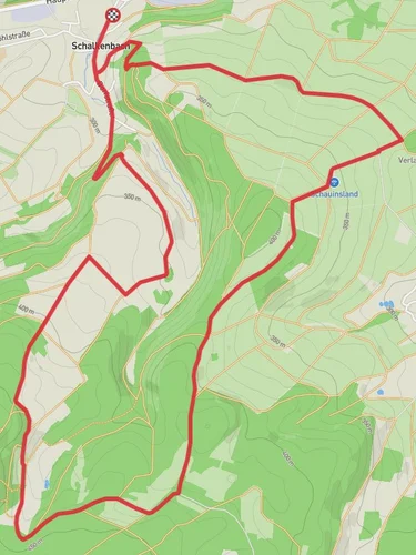
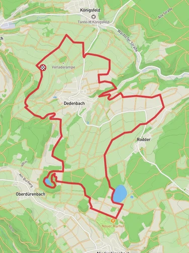
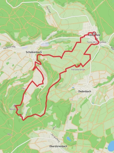
Starting near the picturesque town of Ahrweiler, Germany, the Weiselstein Loop from Schalkenbach is a delightful 12 km (7.5 miles) loop trail with an elevation gain of approximately 200 meters (656 feet). This medium-difficulty trail offers a blend of natural beauty, historical landmarks, and opportunities for wildlife spotting.
### Getting There To reach the trailhead, you can drive or use public transport. If driving, head towards Schalkenbach, a small village near Ahrweiler. There is ample parking available near the trailhead. For those using public transport, take a train to Ahrweiler station and then a local bus to Schalkenbach. The nearest significant landmark to the trailhead is the Schalkenbach village center.
### Trail Overview The trail begins with a gentle ascent through dense forests, offering a serene start to your hike. As you progress, the path opens up to rolling meadows, where you can enjoy panoramic views of the surrounding Eifel region. The first 3 km (1.9 miles) are relatively easy, with a gradual elevation gain of about 50 meters (164 feet).
### Key Landmarks and Points of Interest - Weiselstein Rock Formation: Around the 4 km (2.5 miles) mark, you'll encounter the Weiselstein rock formation. This natural landmark is a great spot for a short break and some photography. The rock formation offers a unique geological insight into the region's volcanic past. - Historical Ruins: At approximately 6 km (3.7 miles), you'll come across the ruins of an old watchtower. This site dates back to the Roman era and provides a glimpse into the historical significance of the area. Informational plaques offer details about the tower's history and its role in regional defense. - Wildlife Spotting: The trail is home to a variety of wildlife, including deer, foxes, and numerous bird species. Keep an eye out for these creatures, especially in the early morning or late afternoon.
### Trail Navigation The trail is well-marked with signs and markers, but it's always a good idea to have a reliable navigation tool. HiiKER is an excellent app for this purpose, providing detailed maps and real-time GPS tracking to ensure you stay on course.
### Flora and Fauna The Weiselstein Loop is rich in biodiversity. The forested sections are dominated by oak, beech, and pine trees, while the meadows are filled with wildflowers during the spring and summer months. The diverse plant life supports a variety of insects and small mammals, making it a vibrant ecosystem worth exploring.
### Final Stretch The last 3 km (1.9 miles) of the trail involve a gentle descent back towards Schalkenbach. This section offers stunning views of the Ahr Valley, especially during sunset. The trail eventually loops back to the starting point, completing a rewarding and scenic hike.
This trail is perfect for those looking to experience the natural beauty and historical richness of the Ahrweiler region. Whether you're a seasoned hiker or a casual walker, the Weiselstein Loop offers something for everyone.
Reviews
User comments, reviews and discussions about the Weiselstein Loop from Schalkenbach, Germany.
5.0
average rating out of 5
2 rating(s)


