Monarch's Way trail stages
stage 1
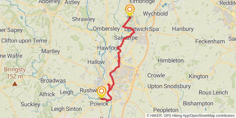
Starting at: Worcester, Worcestershire, WR2 4GA
Ending at: Wychavon, Worcestershire, WR9 0PA
Distance: 23.6 km
Elevation gain: 182 m
Duration: 05:01:44
stage 2

Starting at: Hampton Lovett, Wychavon, Worcestershire, WR9 0PA
Ending at: Hagley, Worcestershire, DY9 0PR
Distance: 22.6 km
Elevation gain: 321 m
Duration: 05:02:47
stage 3
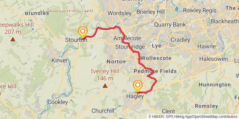
Starting at: Worcestershire, DY9 0NQ
Ending at: South Staffordshire, Staffordshire, DY7 5AE
Distance: 12.6 km
Elevation gain: 165 m
Duration: 02:47:29
stage 4
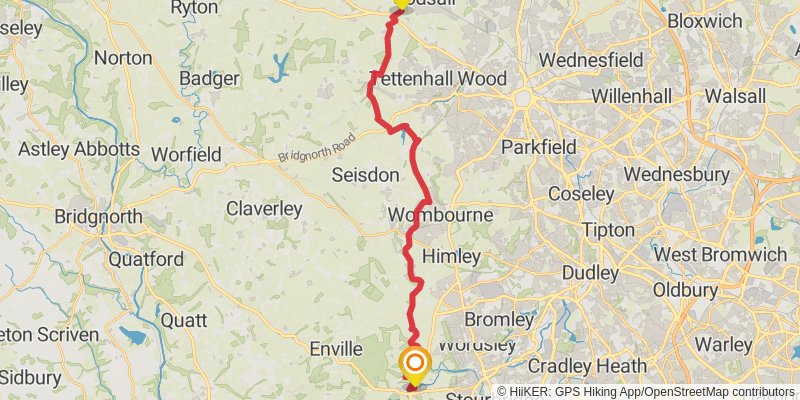
Ending at: South Staffordshire, Staffordshire, WV8 2AX
Distance: 23.7 km
Elevation gain: 226 m
Duration: 05:06:28
stage 5
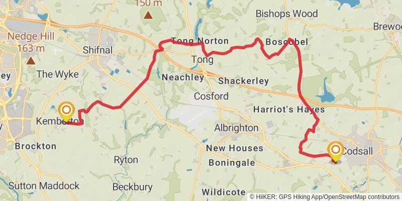
Starting at: Codsall, South Staffordshire, Staffordshire, WV8 2AY
Ending at: Kemberton, Shropshire, TF11 9LS
Distance: 23.5 km
Elevation gain: 193 m
Duration: 05:01:24
stage 6
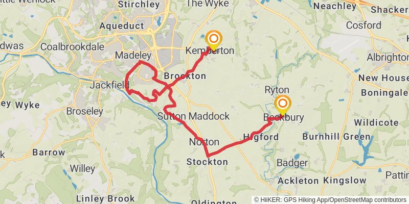
Starting at: Kemberton, Shropshire, TF11 9LS
Distance: 19.0 km
Elevation gain: 260 m
Duration: 04:14:30
stage 7
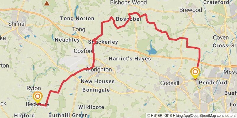
Starting at: Beckbury, Shropshire, TF11 9DF
Distance: 25.0 km
Elevation gain: 237 m
Duration: 05:24:15
stage 8
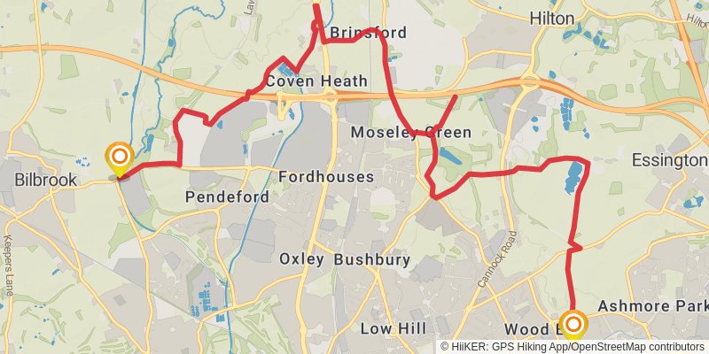
Ending at: Wolverhampton, Wolverhampton, WV11 3HA
Distance: 14.6 km
Elevation gain: 167 m
Duration: 03:11:39
stage 9
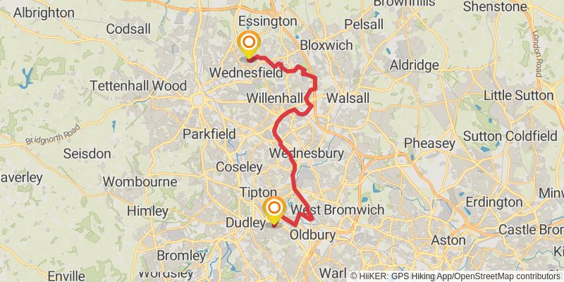
Starting at: Wolverhampton, Wolverhampton, WV11 3HA
Ending at: Sandwell, Sandwell, B69 1UL
Distance: 22.7 km
Elevation gain: 127 m
Duration: 04:45:09
stage 10

Starting at: Tividale, Sandwell, Sandwell, B69 1TG
Ending at: Bromsgrove, Worcestershire, B61 0QQ
Distance: 18.6 km
Elevation gain: 344 m
Duration: 04:17:56
stage 11
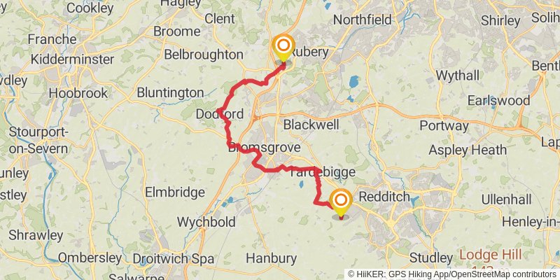
Starting at: Lydiate Ash, Worcestershire, B61 0QQ
Ending at: Bromsgrove, Worcestershire, B97 5BX
Distance: 23.2 km
Elevation gain: 254 m
Duration: 05:04:15
stage 12
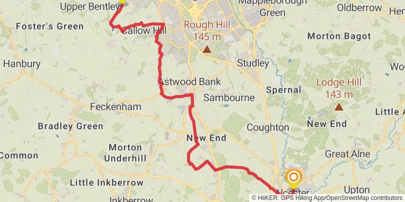
Starting at: Callow Hill, Worcestershire, B97 5BX
Distance: 19.2 km
Elevation gain: 209 m
Duration: 04:10:48
stage 13
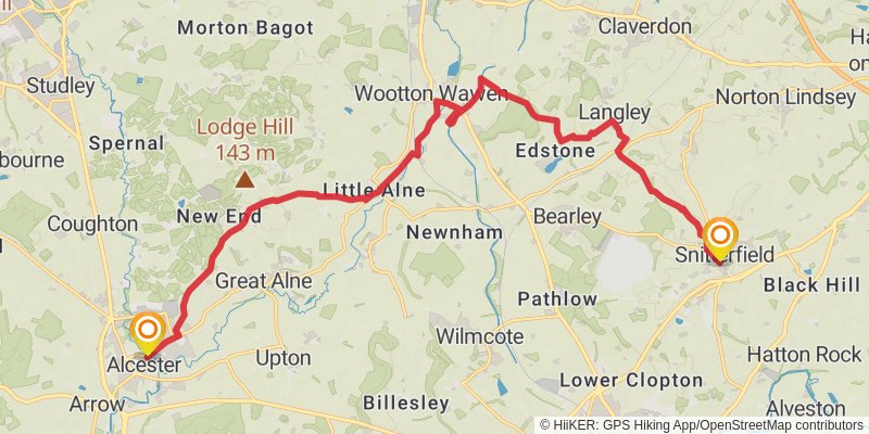
Starting at: Arrow, Stratford-on-Avon, Warwickshire, B49 5DE
Ending at: Stratford-on-Avon, Warwickshire, CV37 0JY
Distance: 20.4 km
Elevation gain: 260 m
Duration: 04:30:43
stage 14
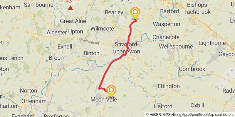
Distance: 17.2 km
Elevation gain: 102 m
Duration: 03:37:09
stage 15
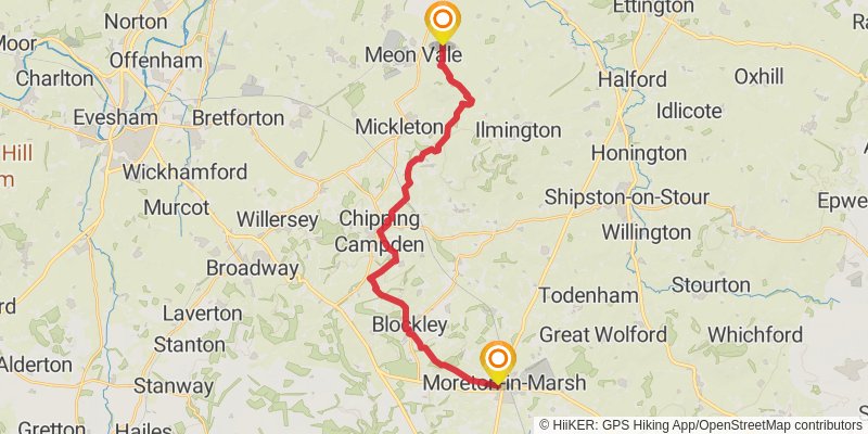
Ending at: Cotswold, Gloucestershire, GL56 0BH
Distance: 23.1 km
Elevation gain: 485 m
Duration: 05:25:18
stage 16
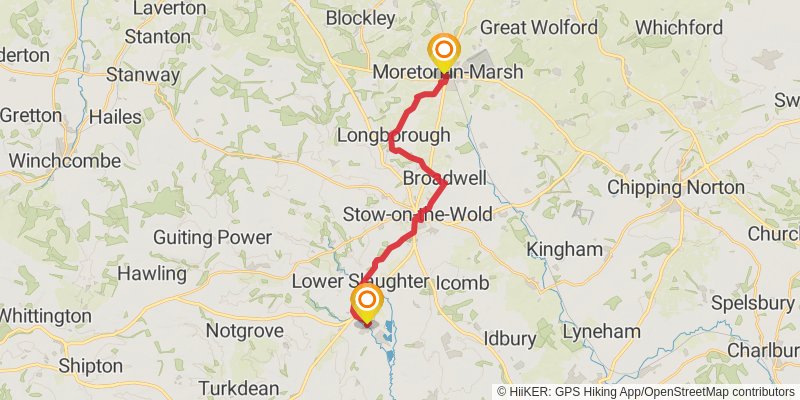
Starting at: Cotswold, Gloucestershire, GL56 0BH
Distance: 18.3 km
Elevation gain: 269 m
Duration: 04:06:16
stage 17
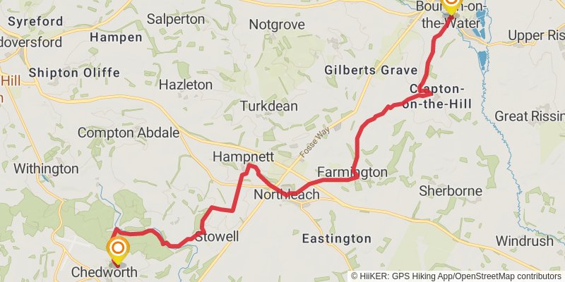
Ending at: Cotswold, Gloucestershire, GL54 4AQ
Distance: 20.3 km
Elevation gain: 405 m
Duration: 04:43:39
stage 18
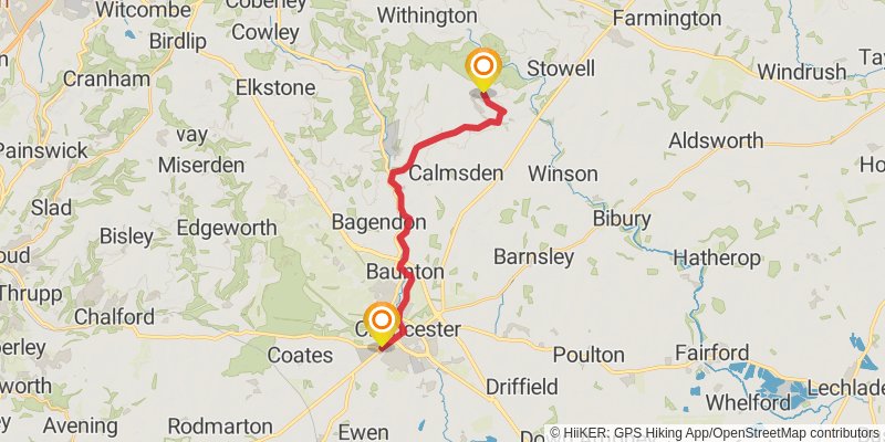
Starting at: Chedworth, Cotswold, Gloucestershire, GL54 4AQ
Distance: 16.8 km
Elevation gain: 178 m
Duration: 03:38:52
stage 19
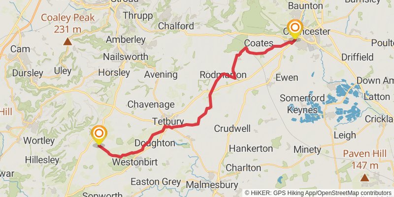
Starting at: Chesterton, Cotswold, Gloucestershire, GL7 1QR
Ending at: Cotswold, Gloucestershire, GL8 8UY
Distance: 28.2 km
Elevation gain: 298 m
Duration: 06:07:57
stage 20
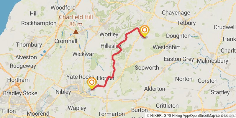
Starting at: Leighterton, Cotswold, Gloucestershire, GL8 8UH
Distance: 18.3 km
Elevation gain: 281 m
Duration: 04:07:29
stage 21
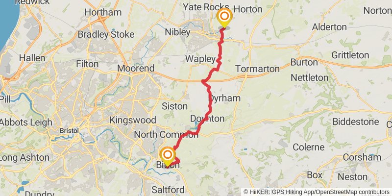
Starting at: South Gloucestershire, BS37 6BX
Ending at: Bitton, South Gloucestershire, BS30 6LJ
Distance: 20.2 km
Elevation gain: 206 m
Duration: 04:23:27
stage 22
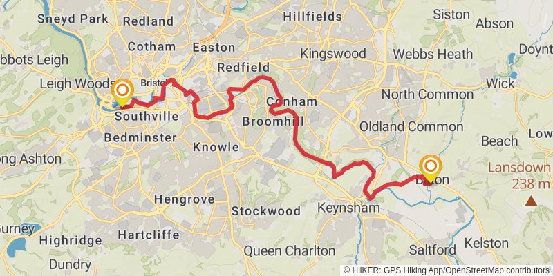
Starting at: Bitton, South Gloucestershire, BS30 6HW
Distance: 19.3 km
Elevation gain: 197 m
Duration: 04:11:24
stage 23
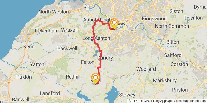
Starting at: Baltic Wharf, Bristol, City of Bristol, BS3 1BH
Ending at: Regil, North Somerset, BS40 8BD
Distance: 19.8 km
Elevation gain: 502 m
Duration: 04:47:14
stage 24
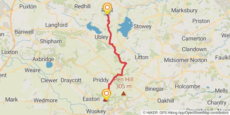
Starting at: Regil, North Somerset, BS40 8BG
Ending at: Wookey Hole, Somerset, BA5 1DH
Distance: 19.6 km
Elevation gain: 484 m
Duration: 04:43:39
stage 25
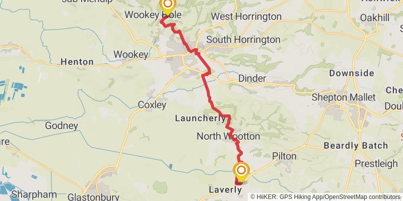
Starting at: Wookey Hole, Mendip, Somerset, BA5 1DH
Ending at: West Pennard, Somerset, BA6 8ND
Distance: 12.5 km
Elevation gain: 269 m
Duration: 02:57:10
stage 26
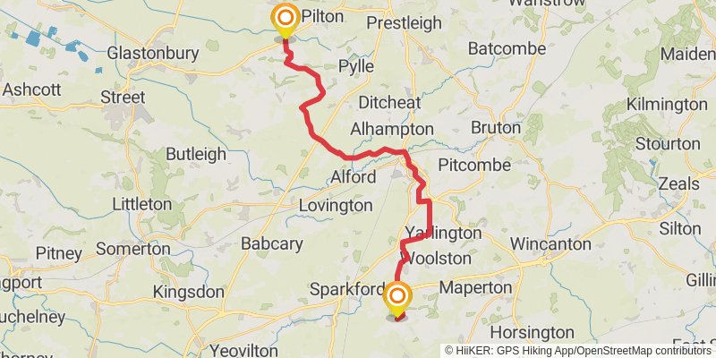
Starting at: West Pennard, Mendip, Somerset, BA6 8NB
Ending at: South Cadbury, Somerset, BA22 7HB
Distance: 25.5 km
Elevation gain: 351 m
Duration: 05:41:10
stage 27
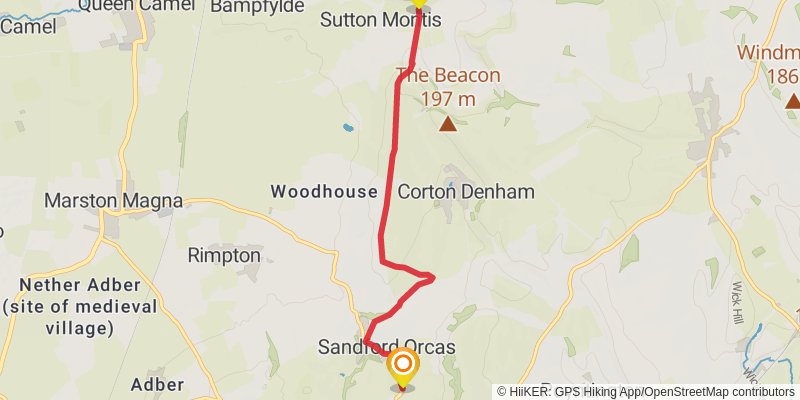
Starting at: Sutton Montis, South Somerset, Somerset, BA22 7HD
Ending at: Sandford Orcas, Dorset, DT9 4RP
Distance: 21.3 km
Elevation gain: 251 m
Duration: 04:40:57
stage 35
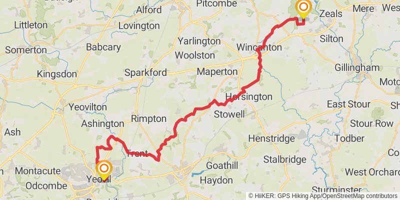
Starting at: Sandford Orcas, Dorset, DT9 4RP
Ending at: Penselwood, Somerset, BA9 8LS
Distance: 169.0 km
Elevation gain: 3431 m
Duration: 39:31:30
stage 28
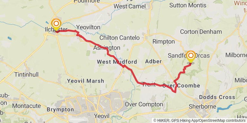
Starting at: Ilchester, South Somerset, Somerset, BA22 8LY
Ending at: Lindinis, Ilchester, Somerset, BA22 8LY
Distance: 22.0 km
Elevation gain: 356 m
Duration: 04:58:58
stage 29
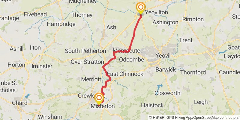
Starting at: Misterton, South Somerset, Somerset, TA18 8LR
Ending at: Misterton, Somerset, TA18 8LR
Distance: 17.5 km
Elevation gain: 360 m
Duration: 04:05:33