Download
Preview
Add to list
More
947.9 km
~48 days
14699 m
Multi-Day
“Embark on the Monarch's Way, a historical trek through England's scenic heart and past.”
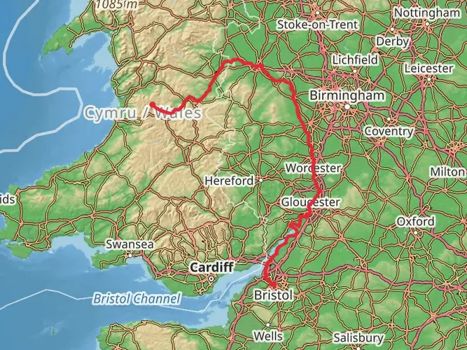
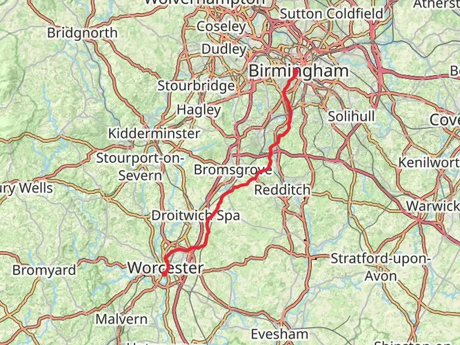
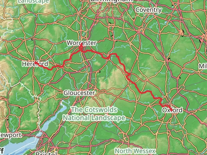
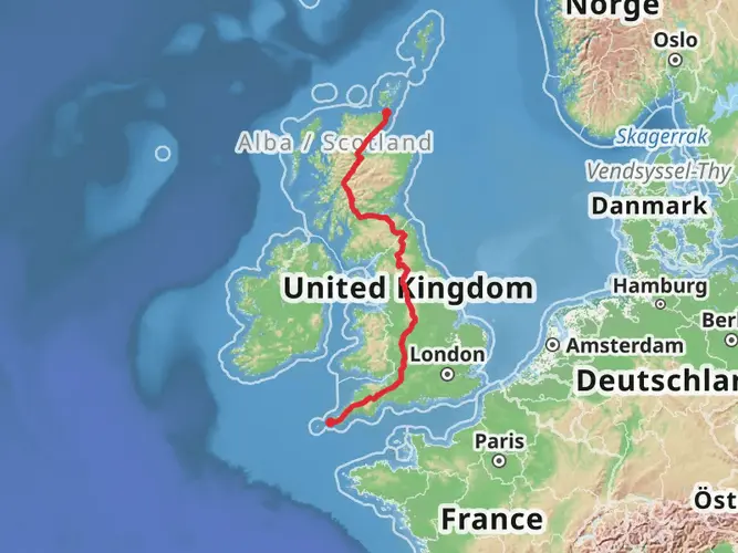
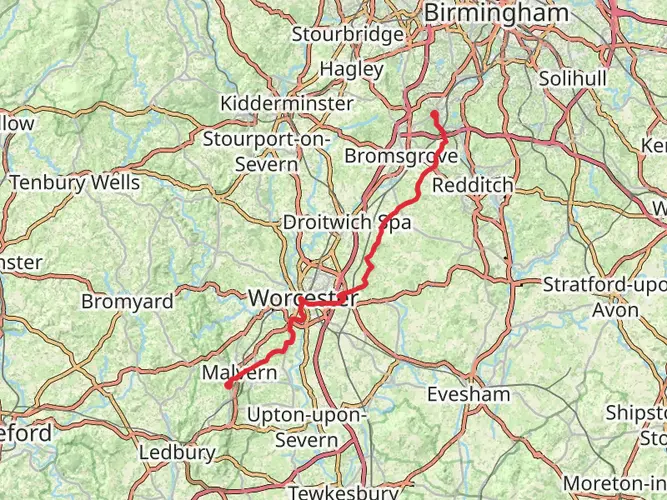
Spanning approximately 948 kilometers (589 miles) with an elevation gain of around 14,700 meters (48,228 feet), the Monarch's Way is a historical trail that follows the escape route taken by King Charles II in 1651 after being defeated in the Battle of Worcester. The trail begins near Powick, Worcestershire, England, and winds its way down to Shoreham-by-Sea on the southern coast.
Getting to the Trailhead
To reach the starting point of the Monarch's Way near Worcestershire, hikers can use public transport or drive. The nearest train station is in Worcester, which is well-connected to major cities like Birmingham and London. From Worcester, local buses can take you closer to Powick, or you can opt for a taxi for the final stretch. If driving, you can navigate to the vicinity of Powick Bridge, which is a significant landmark near the trailhead.
Navigating the Trail
Hikers can rely on the HiiKER app for detailed maps and navigation assistance throughout the Monarch's Way. The trail is marked, but due to its length and complexity, having a digital tool can be invaluable for staying on track.
Trail Highlights and Landmarks
As you embark on this journey, you'll traverse a variety of landscapes, including idyllic countryside, rolling hills, woodlands, and river valleys. The trail is steeped in history, often following paths that would have been used during the 17th century.
One of the early significant landmarks is Boscobel House, approximately 80 kilometers (50 miles) into the trail, where Charles II famously hid in an oak tree to escape the Roundhead soldiers. The tree became known as the Royal Oak, and such trees are marked along the route.
Further along, around the halfway mark, hikers will pass through Stratford-upon-Avon, the birthplace of William Shakespeare. This charming town offers a cultural interlude with its Tudor-style architecture and numerous historical sites.
The South Downs Way is intersected as you approach the final stages of the Monarch's Way, offering expansive views of the English Channel before descending into the coastal town of Shoreham-by-Sea, marking the end of this epic trail.
Wildlife and Nature
Throughout the journey, hikers can expect to encounter a diverse range of British wildlife. The trail passes through several nature reserves and areas of outstanding natural beauty. Birdwatchers will be particularly delighted with the variety of birdlife, including skylarks, buzzards, and the rare red kite.
Historical Significance
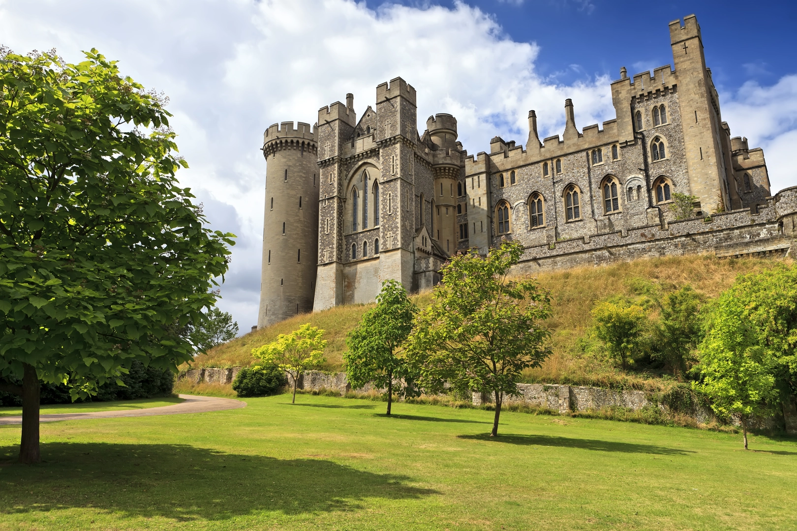
The Monarch's Way is more than just a trail; it's a walk through history. It provides a unique perspective on the English countryside, shaped by centuries of human activity. The route includes numerous historical sites, from ancient battlefields to stately homes and castles, each telling a part of the story of King Charles II's escape.
Preparation and Planning
Given the trail's length and varied terrain, hikers should plan their journey carefully. Accommodations range from campgrounds to bed-and-breakfasts, allowing for different levels of comfort. It's advisable to book these in advance, especially during peak seasons.
For supplies, there are towns and villages dotted along the route where you can restock. However, carrying enough food and water for each day's hike is essential, as some sections are quite remote.
The Monarch's Way can be hiked year-round, but the best conditions are typically from late spring to early autumn. Always check the weather forecast and be prepared for the changeable British weather by packing appropriate clothing and gear.
Conclusion
The Monarch's Way offers a unique blend of natural beauty, wildlife, and a deep dive into England's rich history. Whether you're a history buff, a nature lover, or simply seeking a long-distance hiking challenge, this trail provides an immersive experience into the heart of the English landscape.

What to expect?
Activity types
Comments and Reviews
User comments, reviews and discussions about the Monarch's Way, England.
4.83
average rating out of 5
6 rating(s)