Mendip Way trail stages
stage 1
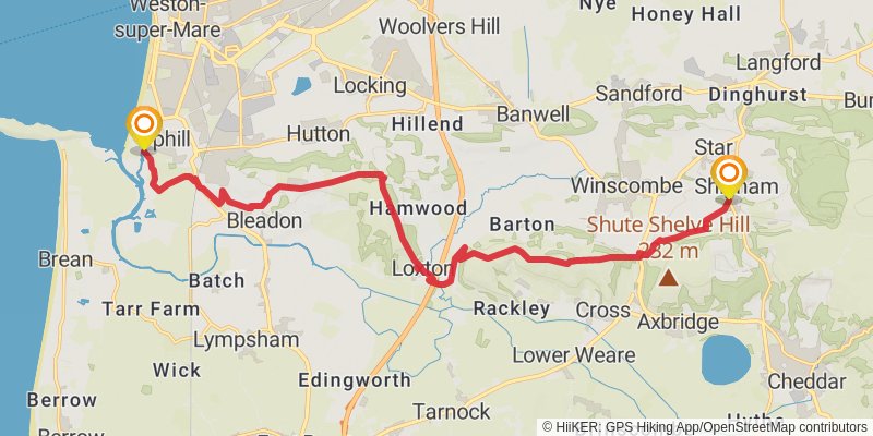
Starting at: Uphill, North Somerset, BS23 4XP
Ending at: Sedgemoor, Somerset, BS25 1RB
Distance: 18.7 km
Elevation gain: 582 m
Duration: 04:42:12
alt 1
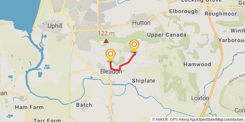
Starting at: Bleadon, North Somerset, BS24 0NB
Ending at: Bleadon, North Somerset, BS24 0NJ
Distance: 1.7 km
Elevation gain: 105 m
Duration: 00:30:21
alt 2
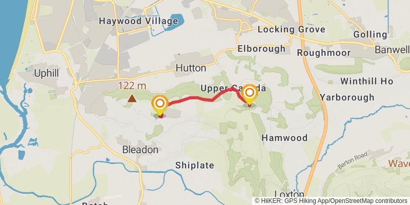
Starting at: Bleadon, North Somerset, BS24 0NJ
Ending at: Loxton, North Somerset, BS24 9US
Distance: 2.7 km
Elevation gain: 55 m
Duration: 00:38:01
alt 3
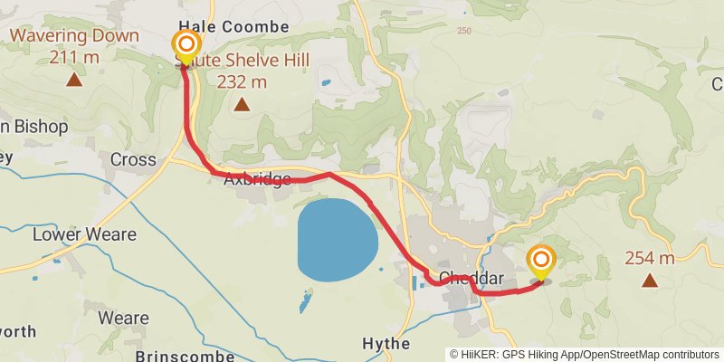
Starting at: Axbridge, Somerset, BS26 2JJ
Ending at: Cheddar, Somerset, BS27 3QT
Distance: 6.9 km
Elevation gain: 67 m
Duration: 01:29:12
stage 2
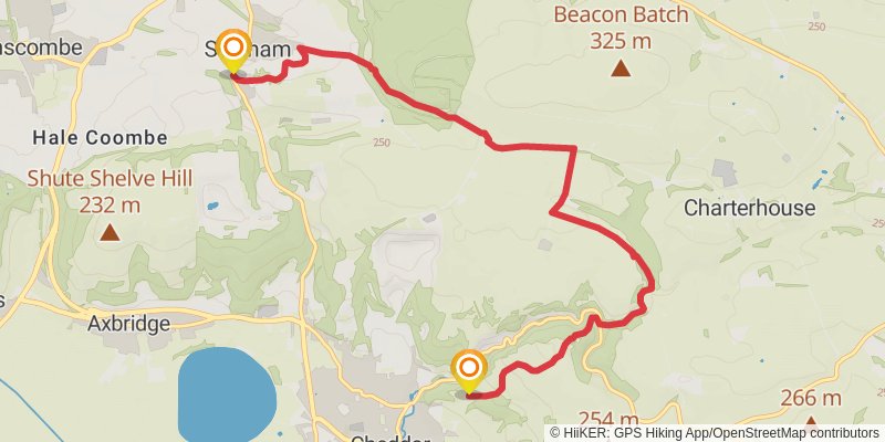
Starting at: Sedgemoor, Somerset, BS25 1RD
Ending at: Gough's Cave, Sedgemoor, Somerset, BS27 3QF
Distance: 9.6 km
Elevation gain: 272 m
Duration: 02:22:39
stage 3
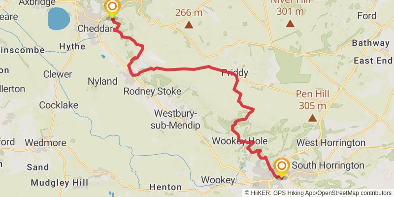
Starting at: Sedgemoor, Somerset, BS27 3QF
Ending at: Wells, Somerset, BA5 2LA
Distance: 18.9 km
Elevation gain: 614 m
Duration: 04:48:12
alt 4
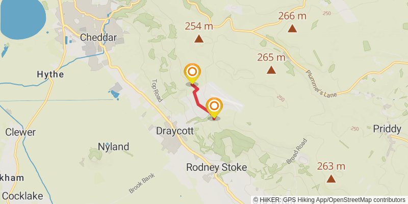
Starting at: Cheddar, Somerset, BS27 3YA
Ending at: Rodney Stoke, Somerset, BS27 3UT
Distance: 1.2 km
Elevation gain: 33 m
Duration: 00:17:28
stage 4
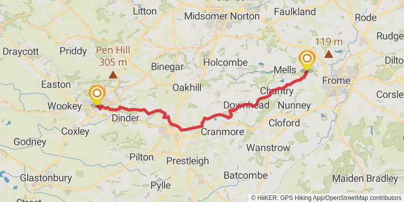
Starting at: Mendip, Somerset, BA5 2RR
Ending at: Mendip, Somerset, BA11 3NY
Distance: 27.0 km
Elevation gain: 484 m
Duration: 06:12:43
stage 5
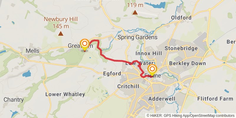
Starting at: Mendip, Somerset, BA11 3NY
Ending at: Barclays, Mendip, Somerset, BA11 1BX
Distance: 4.5 km
Elevation gain: 88 m
Duration: 01:03:00