The best hikes in Isle of Wight
England · 111 HiiKER Hikes
View Hikes on map

What to expect
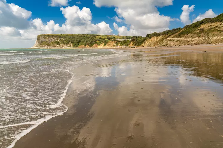
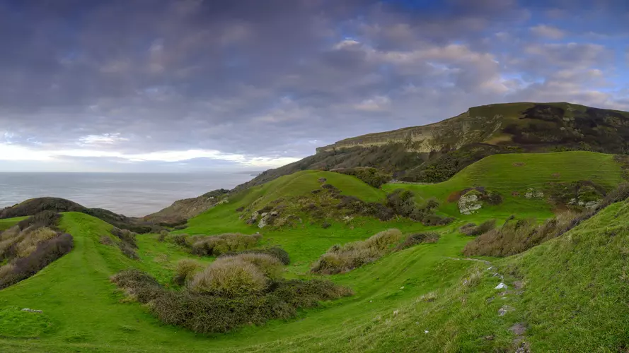
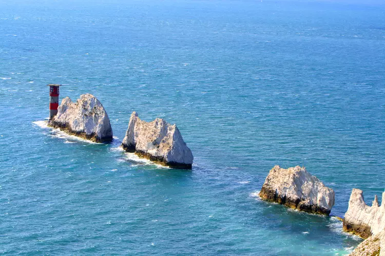
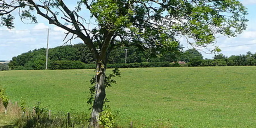
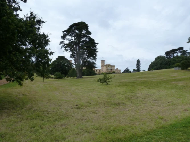
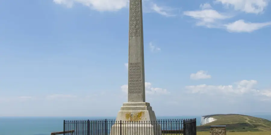
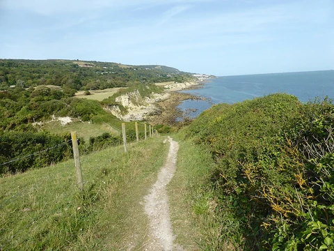
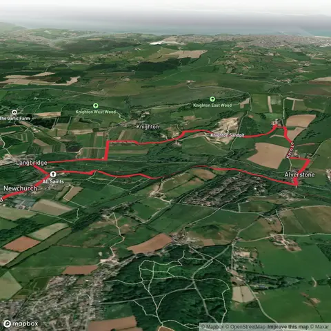
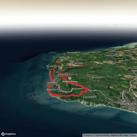
Check out some of the best hiking, walking and backpacking routes in Isle of Wight, England. The Isle of Wight Coastal Path is the most popular trail. The trails have 179 user reviews with great photos and information. There are trails of various difficulty levels including easy and medium. The trail with the highest elevation climb is the Vetnor Downs and Luccombe Down Loop and the trail with the least amount of climbing is the Freshwater to Yarmouth Walk. The longest trail is the Isle of Wight Coastal Path at 114.4 km. For a shorter adventure you can try the Quarr Abbey Loop at 724 m. Get off line access to Healthcare, Pub, Bus Stop, and Restaurant locations and much more with a Hiiker subscription.

Be prepared for hiking in England with the HiiKER app