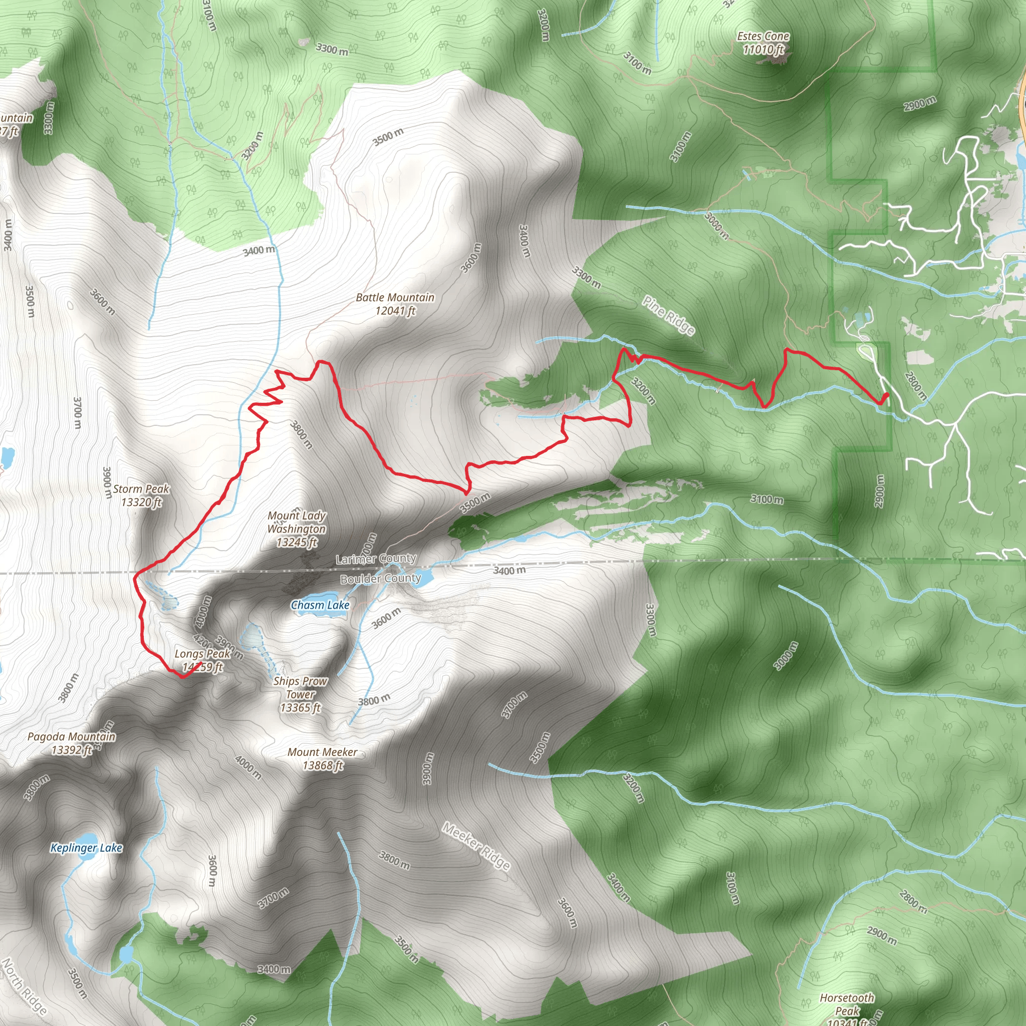
Longs Peak is a 14,259-foot (4,346-meter) peak in the Rocky Mountains of Colorado, USA. The most popular route to the summit is the Keyhole Route, which is a challenging hike that starts from the Longs Peak trailhead. The trail is a 13.3 -mile round-trip hike with an elevation gain of 5,000 feet.The trail begins with a gradual climb through a dense forest of pine and aspen trees. As you gain elevation, the trees give way to a more alpine landscape, with rocky outcroppings and wildflowers lining the trail. The trail then splits off into two directions, the left towards Chasm Lake and the right towards the Keyhole route. The Keyhole route is the standard route to reach the summit, the trail becomes steeper and rockier as you get to the Keyhole. The keyhole is a natural rock formation that marks the beginning of the most challenging part of the hike.After the keyhole, the trail becomes more strenuous, with steep, rocky scrambles and narrow ledges. It's important to be physically fit and have good hiking experience to complete this trail. The final stretch to the summit is a steep, rocky scramble that requires basic scrambling skills and a high level of fitness. The summit of Longs Peak offers stunning panoramic views of the Front Range and the surrounding mountains.The trail is typically open from late May to early October, depending on snow conditions. It is best to hike this trail during the summer months when the snow has melted and the wildflowers are in bloom. During the peak hiking season, the trail can be quite crowded. It's a good idea to start early in the morning to avoid the crowds and to beat the afternoon thunderstorms. Also is important to note that this trail requires a permit.Hikers should be prepared for changing weather conditions and bring appropriate gear and clothing. It's important to bring plenty of water, as well as snacks and a lunch, as there are no water sources along the trail. It's also a good idea to bring a map and compass, and to be familiar with the trail and the surrounding area. It's important to be aware of the altitude and its effects on the body, and be able to recognize signs of altitude sickness.For information on how we grade trails, please click here. Also, check our latest community posts for trail updates.This trail can be completed in approx 3 days. Caution is advised on trail times as this depends on multiple variables. For more info, click here.