Download
Preview
Add to list
More
22.1 km
~2 days
1440 m
Multi-Day
“Daring hikers tackle the Longs Peak Trail, a demanding 22-km journey through Colorado's stunning yet treacherous high-altitude wilderness.”
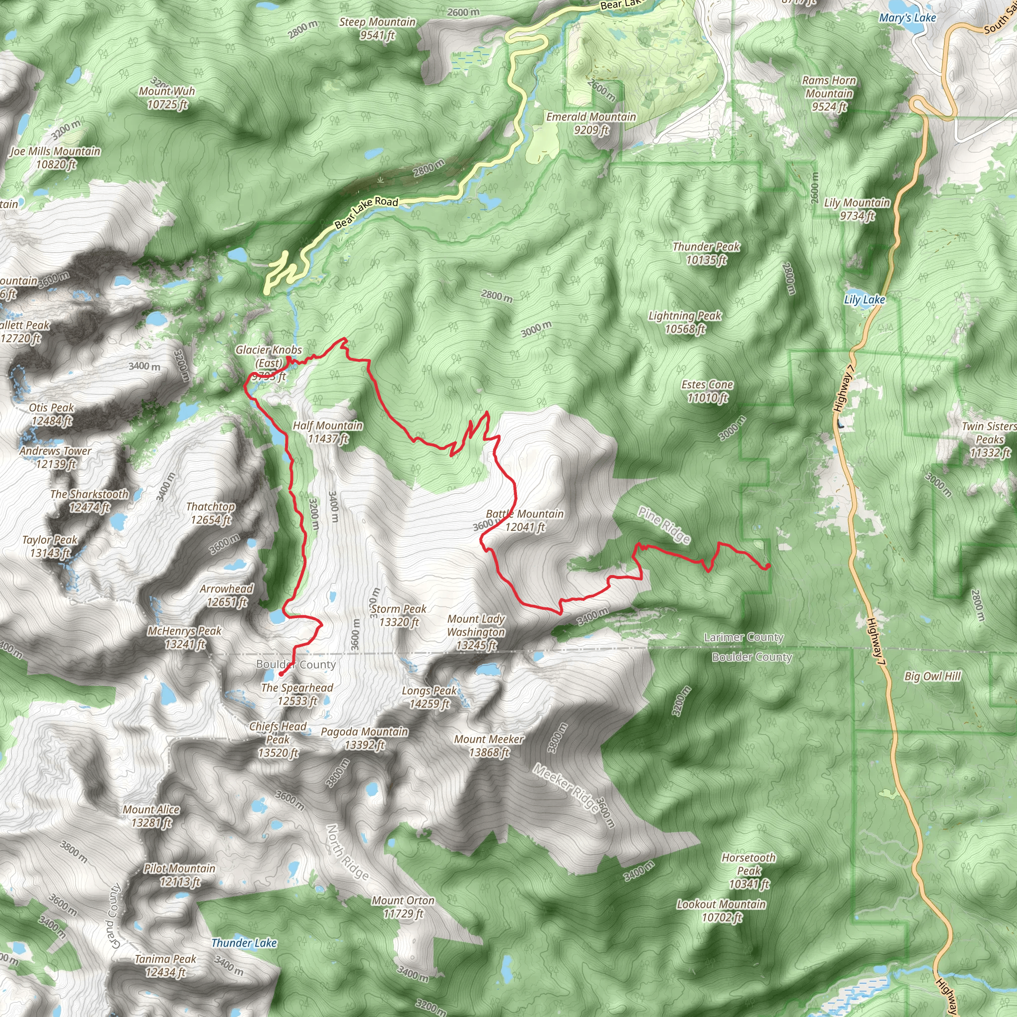
Embarking on the Longs Peak Trail to Glacier Gorge, hikers will traverse approximately 22 kilometers (around 13.7 miles) of Colorado's most rugged and scenic terrain, with an elevation gain of roughly 1400 meters (about 4600 feet). This point-to-point trail is not for the faint of heart, with its rating of Extra Difficult, it demands respect and thorough preparation.
Getting to the Trailhead The journey begins near Larimer County, Colorado, where adventurers can access the trailhead. For those driving, the starting point is accessible via the Longs Peak Ranger Station off Highway 7. There is parking available, but it can fill up quickly during peak season, so an early start is advisable. For those opting for public transport, options are limited, and a combination of buses and taxis might be necessary to reach the trailhead.
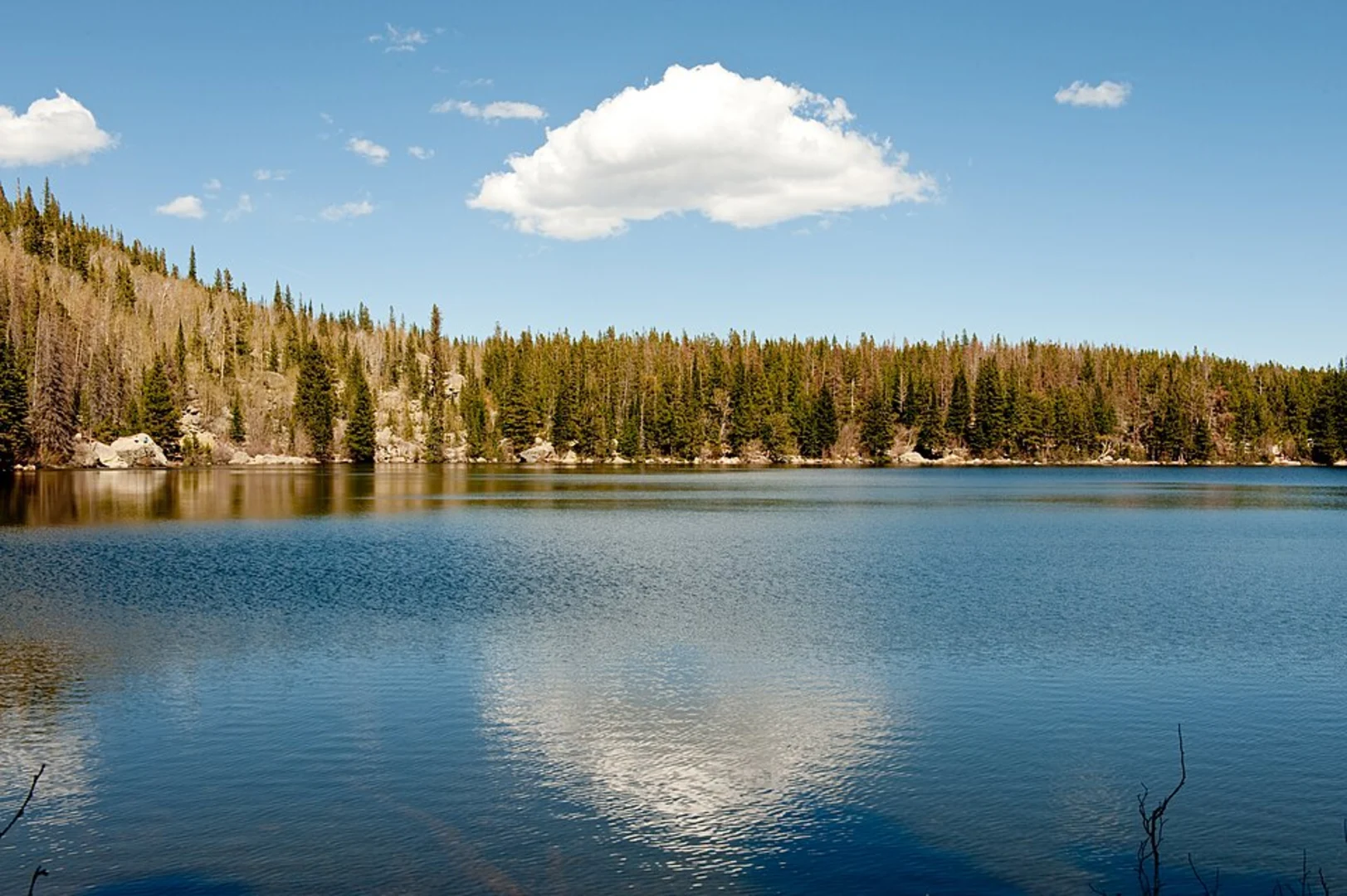
Navigating the Trail As you set out, the trail will lead you through dense forests, subalpine regions, and into the alpine tundra, each zone with its own unique flora and fauna. The first few miles are a steady climb through a coniferous forest, where the sounds of local wildlife and the rustle of pine needles accompany your ascent.
Landmarks and Natural Features After approximately 6 kilometers (about 3.7 miles), you'll reach the treeline and the terrain becomes more rugged. The trail offers stunning views of the surrounding peaks and valleys. Keep an eye out for the famous "Keyhole," a natural rock formation that serves as a gateway to the more technical part of the hike. This is where the trail becomes more challenging, with narrow ledges and steep inclines.
The Boulder Field is another significant landmark, a vast expanse of rocks that requires careful navigation. It's a good place to rest and assess the weather before continuing, as conditions can change rapidly at this elevation.
Wildlife and Flora Throughout the hike, you may encounter a variety of wildlife, including marmots, pikas, and the occasional bighorn sheep. Alpine wildflowers add splashes of color to the landscape in the summer months, and the delicate alpine ecosystem is a marvel in itself.
Historical Significance The region is steeped in history, with Longs Peak named after explorer Stephen Harriman Long, and the trail itself has been a destination for mountaineers for over a century. The indigenous peoples of the area, including the Arapaho, have a long-standing connection to this land.
Safety and Preparation Given the trail's difficulty, it's crucial to be well-prepared with the right gear, including sturdy hiking boots, layers of clothing to accommodate shifting weather, and plenty of water and food. A map and compass are essential, and the HiiKER app can serve as a digital navigation tool to keep you on the right path.
Final Ascent and Descent The final push to the summit is the most demanding, with steep rock faces and potential for ice and snow, even in summer. The descent requires equal care, as fatigue and the day's exposure to the elements can make the return journey challenging.
Remember, this trail is not recommended for inexperienced hikers, and all adventurers should be prepared for a full day's hike, starting early to avoid afternoon thunderstorms. Always check the weather forecast and trail conditions before setting out, and be prepared to turn back if conditions deteriorate. The beauty and challenge of the Longs Peak Trail to Glacier Gorge make it a memorable experience for those who respect its demands.
Comments and Reviews
User comments, reviews and discussions about the Longs Peak Trail to Glacier Gorge, Colorado.
4.71
average rating out of 5
7 rating(s)

