The best hikes in Marin County
California · 454 HiiKER Hikes
View Hikes on map


What to expect
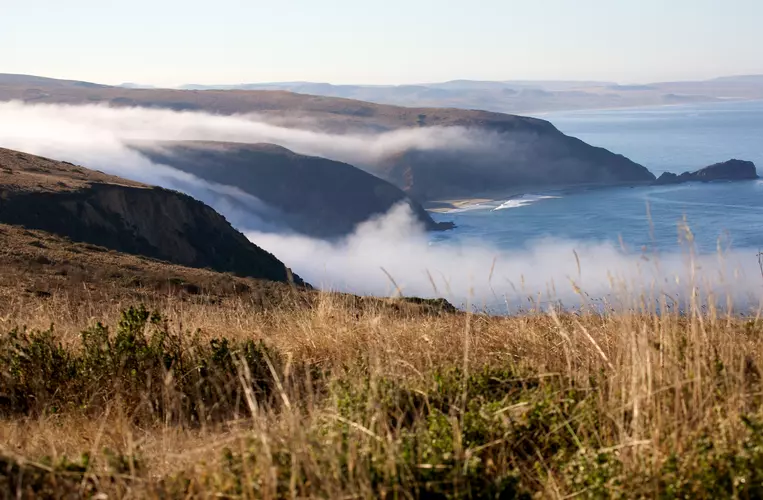
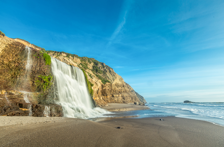
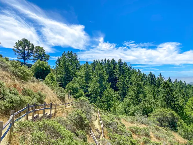
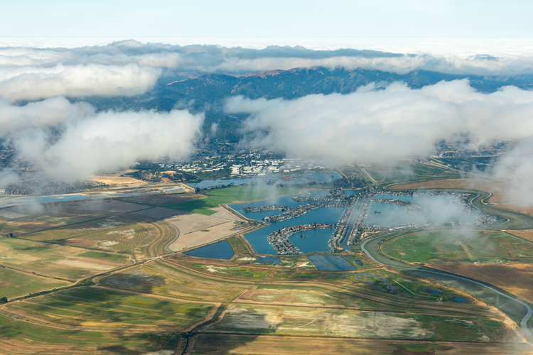
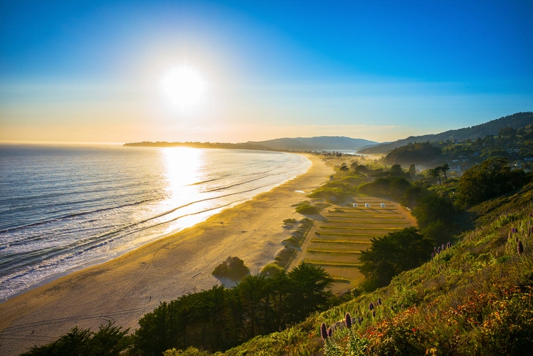
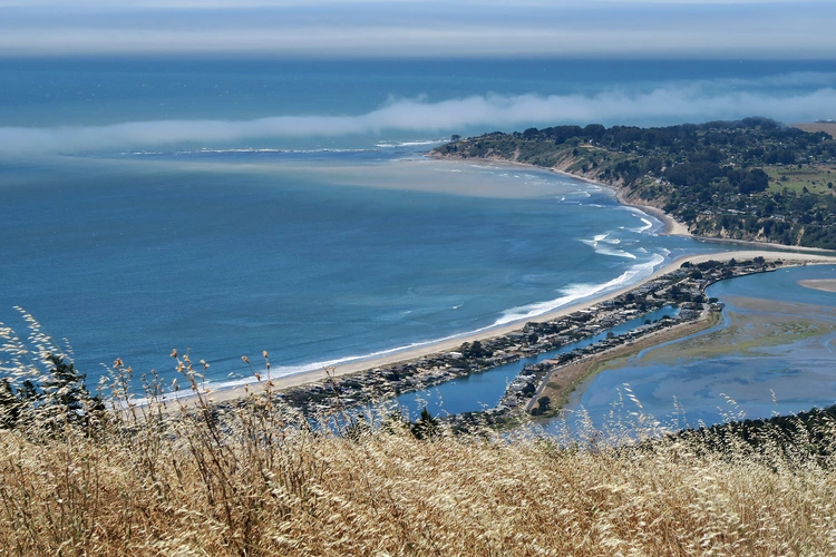
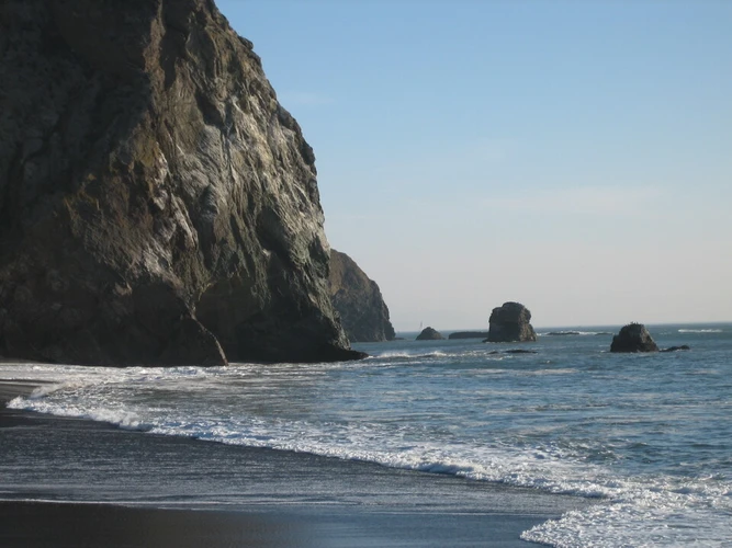
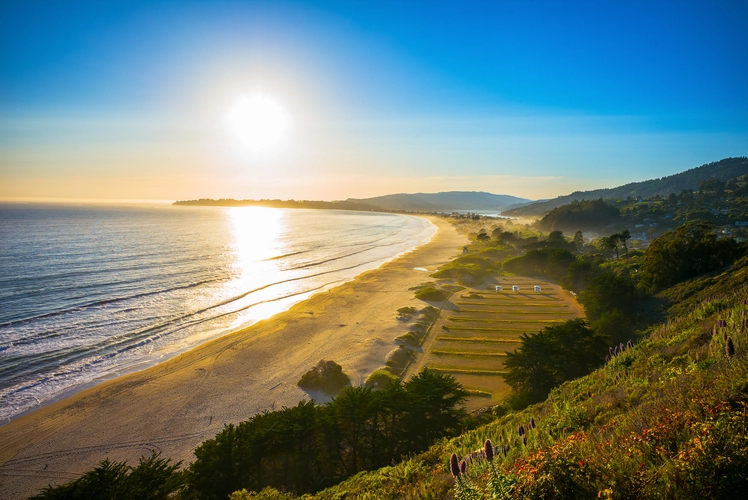
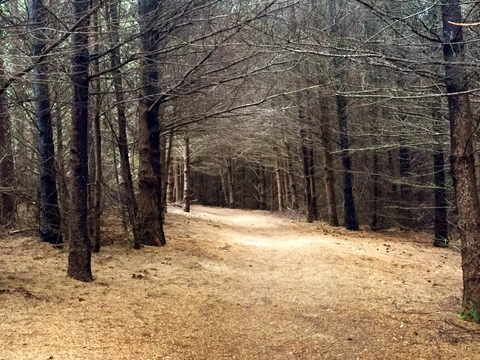
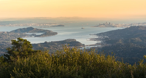
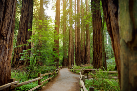
Check out some of the best hiking, walking and backpacking routes in Marin County, California. The Bear Valley Loop is the most popular trail. The trails have 1544 user reviews with great photos and information. There are trails of various difficulty levels including easy, medium, difficult, and extra difficult. The trail with the highest elevation climb is the Mount Tamalpais via Plank Walk and Verna Dunshee Trail and the trail with the least amount of climbing is the Gallinas Creek Out and Back. The longest trail is the Coastal and Point Bonita Trail at 48.3 km. For a shorter adventure you can try the Battery Spencer Trail at 610 m. Get off line access to Water, Town, Peak, and Restaurant locations and much more with a Hiiker subscription.

Be prepared for hiking in California with the HiiKER app