Download
3D Flyover
Add to list
More
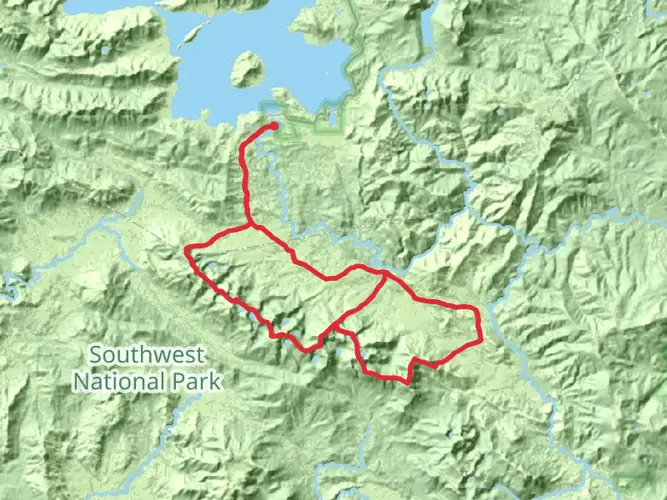
56.0 km
~3 days
3698 m
Multi-Day
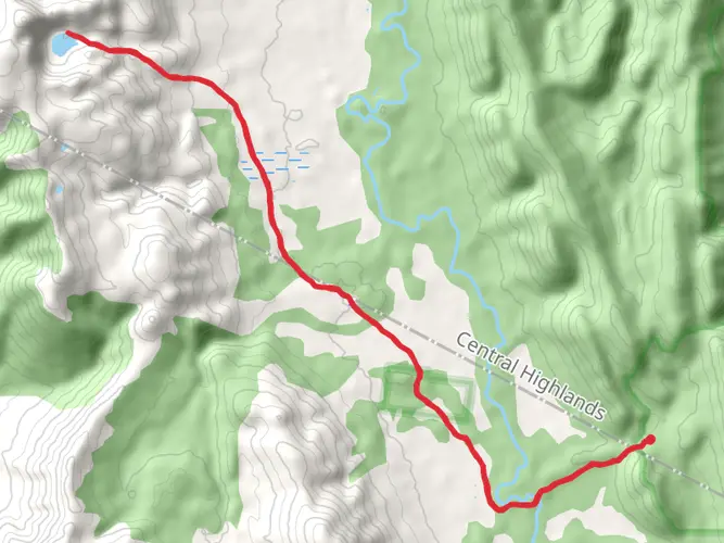
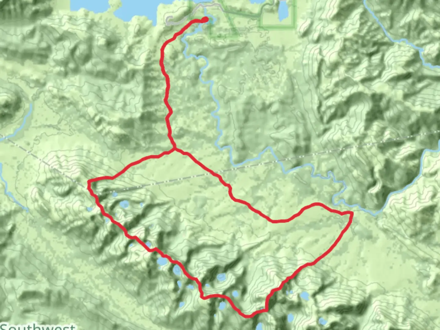
The Western Arthurs A - K Trail is a 56.0 km trail that starts in Derwent Valley, Derwent Valley, Tasmania. Based on our data, the hike is graded as Extra Difficult. For information on how we grade trails, please read measuring the difficulty of a hiking trail on hiiker. Also, check our latest community posts for trail updates. This hike can be completed in approx 3 days. Caution is advised on trail times as this depends on multiple variables. For more info read about how we calculate hike time.

What to expect?
Activity types
Frequently asked questions
How long does the Western Arthurs A - K Trail usually take to hike?
The Western Arthurs A - K Trail is a 55.98 km multi-day route with 3,698 m of climbing, so it is normally treated as a 5 to 7 day traverse. Tasmania Parks and Wildlife describes the full Alpha Moraine to Kappa Moraine crossing as a demanding, technically challenging trip, with shorter out-and-back trips to Lake Cygnus or Lake Oberon usually taking 3 to 4 days instead.
How difficult is the Western Arthurs A - K Trail in Tasmania?
The Western Arthurs A - K Trail is firmly in the extra difficult category. Over 55.98 km it gains 3,698 m, and the Western Arthur Range is known for steep ascents, exposed alpine ridgelines, rough quartzite terrain, and sections where poor weather can make progress slow and committing.
Where do you start the Western Arthurs A - K Trail and is there parking?
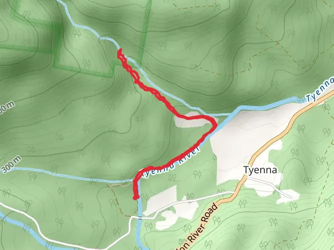
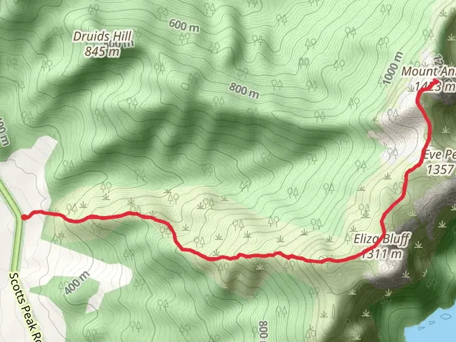
The usual access for the Western Arthurs A - K Trail is from the Scotts Peak Dam area in Southwest National Park, using the approach track from Scotts Peak toward Alpha Moraine. Walkers generally leave vehicles near Scotts Peak Dam or the Huon Campground area, which is the standard road access point for Western Arthurs trips.
Are dogs allowed on the Western Arthurs A - K Trail?
Dogs are generally not allowed on the Western Arthurs A - K Trail because it sits within Tasmania's national park system, where dogs are restricted to protect wildlife and sensitive environments. The main exception is accredited assistance dogs, which Tasmania Parks and Wildlife allows under specific conditions.
What is the best time of year to hike the Western Arthurs A - K Trail?
The most practical season for the Western Arthurs A - K Trail is the Tasmanian summer through early autumn, when daylight is longer and snow and severe cold are less likely. Even then, the range is highly exposed, and fast-changing weather, strong wind, rain, and low cloud are common across the alpine sections.
Is there public transport to the Western Arthurs A - K Trail trailhead?
There is no regular public transport to the Western Arthurs A - K Trail trailhead at Scotts Peak Dam. Most walkers use a private vehicle or arrange a shuttle from Hobart, because Scotts Peak Dam Road is the remote access road into this part of Southwest National Park.
What are the main landmarks on the Western Arthurs A - K Trail?
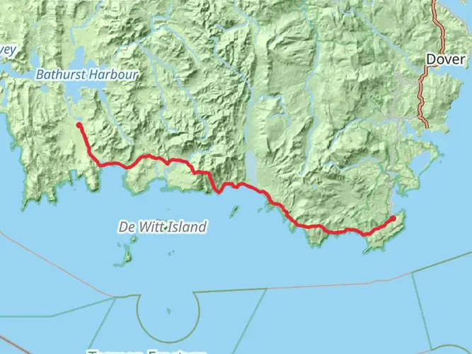
The Western Arthurs A - K Trail follows the famous Western Arthur Range between Alpha Moraine and Kappa Moraine. Well-known landmarks on this traverse and its common variants include Lake Cygnus, Lake Oberon, and the long chain of jagged alpine ridges and quartzite peaks that make this one of Tasmania's most serious wilderness walks.
Comments and Reviews
User comments, reviews and discussions about the Western Arthurs A - K Trail, Tasmania.
average rating out of 5
0 rating(s)