Download
3D Flyover
Add to list
More
75.9 km
~4 days
3229 m
Multi-Day
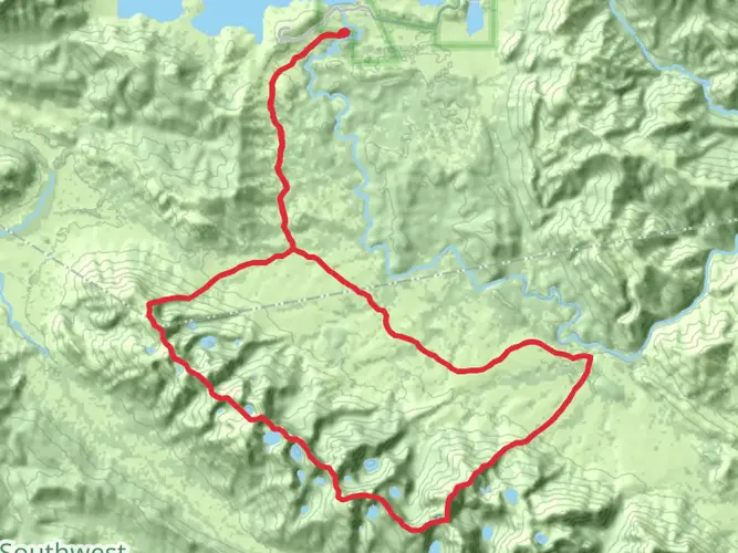
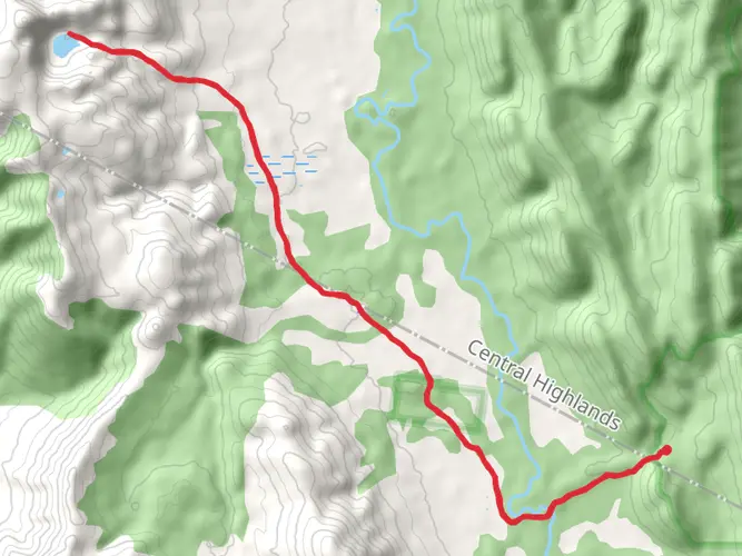
The Western Arthur Traverse is a 75.9 km trail that starts in Southwest, Derwent Valley, Tasmania. Based on our data, the hike is graded as Extra Difficult. For information on how we grade trails, please read measuring the difficulty of a hiking trail on hiiker. Also, check our latest community posts for trail updates. This hike can be completed in approx 4 days. Caution is advised on trail times as this depends on multiple variables. For more info read about how we calculate hike time.

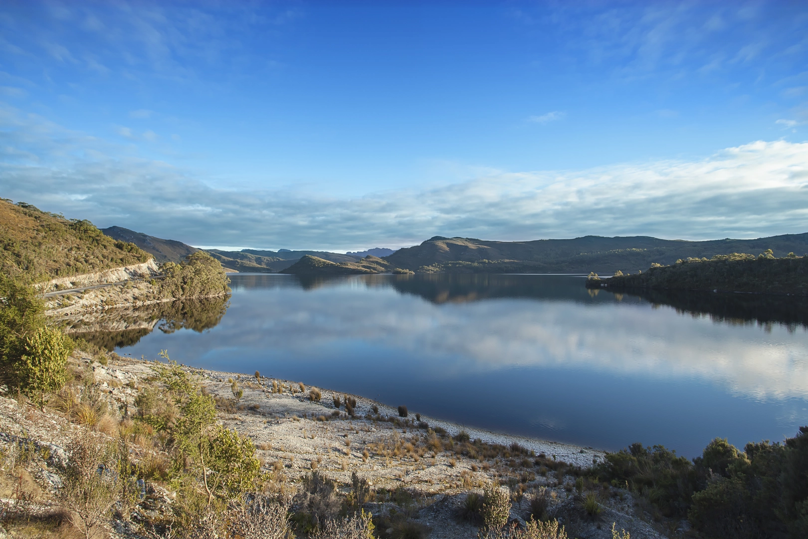
What to expect?
Activity types
Frequently asked questions
How long does the Western Arthur Traverse usually take to complete?
The Western Arthur Traverse is a 75.88 km multi-day route and is commonly planned as a 7-day trip. Tasmania Parks and Wildlife Service publishes a 7-day itinerary from Scotts Peak to Junction Creek, Lake Cygnus, Lake Oberon, High Moor, Haven Lake, and back via Junction Creek, with several short-distance days that still take 4 to 7 hours because the terrain is so slow and technical.
Where do you start the Western Arthur Traverse and is there parking at the trailhead?
The Western Arthur Traverse starts at Huon Campground on Scotts Peak Road in Southwest National Park, west of Maydena. There is parking, toilets, water, and other basic amenities at Huon Campground, and walkers complete the trailhead logbook there before setting out.
Do you need a permit or registration for the Western Arthur Traverse?
The Western Arthur Traverse requires walker registration, including for parties only completing part of the route. Walkers also need to sign the logbook at the trailhead, and a valid Tasmania national parks pass is required for entry to Southwest National Park.
Is the Western Arthur Traverse one of the hardest hikes in Tasmania?
Yes. The Western Arthur Traverse is rated Extra Difficult here and is described by Tasmania Parks and Wildlife Service as one of Tasmania’s most challenging multi-day walks. The route covers 75.88 km with 3,229 m of elevation gain, and the hardest sections include exposed ridges, rock scrambling, pack-hauling terrain, and the Beggary Bumps near Tilted Chasm.
Can beginners hike the Western Arthur Traverse, or is the Western Arthur Traverse only for experienced walkers?
The Western Arthur Traverse is suited to very experienced walkers rather than beginners. Parks and Wildlife class it as a Grade 5 walk and notes that rough, exposed terrain can turn short distances into full-day efforts, especially between Lake Oberon, High Moor, Haven Lake, and the Mount Pegasus area.
Are dogs allowed on the Western Arthur Traverse in Tasmania?
No. The Western Arthur Traverse is in Southwest National Park, and dogs and other pets are generally not allowed in Tasmania’s national parks and reserves. The standard exception is for approved assistance dogs under Tasmania Parks and Wildlife rules.
What are the main campsites and landmarks on the Western Arthur Traverse?
The standard line of travel on the Western Arthur Traverse passes Junction Creek, Lake Cygnus, Lake Oberon, High Moor, Haven Lake, and Lake Sirona. Major named features on the route include Alpha Moraine, Mount Hesperus, the Capella Crags, Mount Hayes, Mount Orion, Mount Pegasus, the Beggary Bumps, Tilted Chasm, Mount Scorpio, and Kappa Moraine.
Comments and Reviews
User comments, reviews and discussions about the Western Arthur Traverse, Tasmania.
5.0
average rating out of 5
3 rating(s)