Search a hike or location
Highland, Scotland
Download
3D Flyover
Add to list
Complete
More
9.3 km
~1 hrs 54 min
30 m
Point to Point
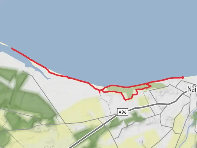
River walk from Nairn to Cawdor
What to expect?
Surfaces
Dirt
72% · 6.66km
Unknown
28% · 2.58km
Asphalt
0.6% · 0.05km
User comments, reviews and discussions about the River Nairn to Cawdor Castle, Scotland.
star
average rating out of 5
0 rating(s)
Nearby Hikes
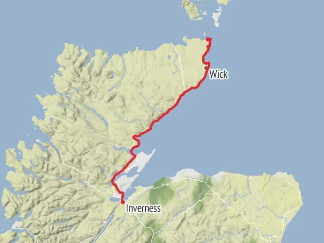
John o'Groats Trail
238.8 km · 3387 m
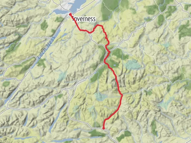
East Highland Trail
133.1 km · 2153 m
Eathie to Chanonry Point Walk
11.5 km · 213 m
Hill 99 Loop from Wellhill
Moray, Scotland
5.8 km · 38 m
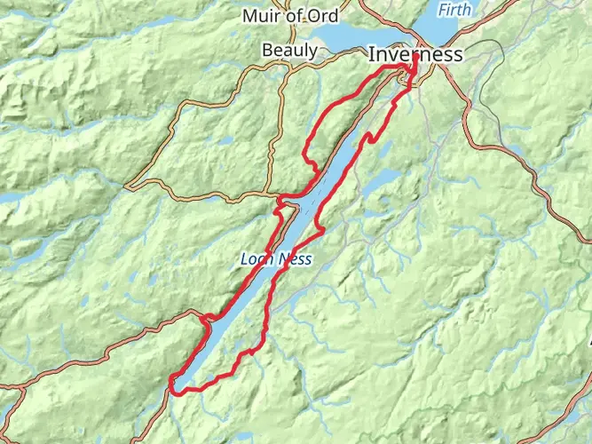
Loch Ness 360 Trail
129.0 km · 3317 m
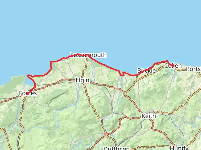
Moray Coast Trail
73.4 km · 772 m
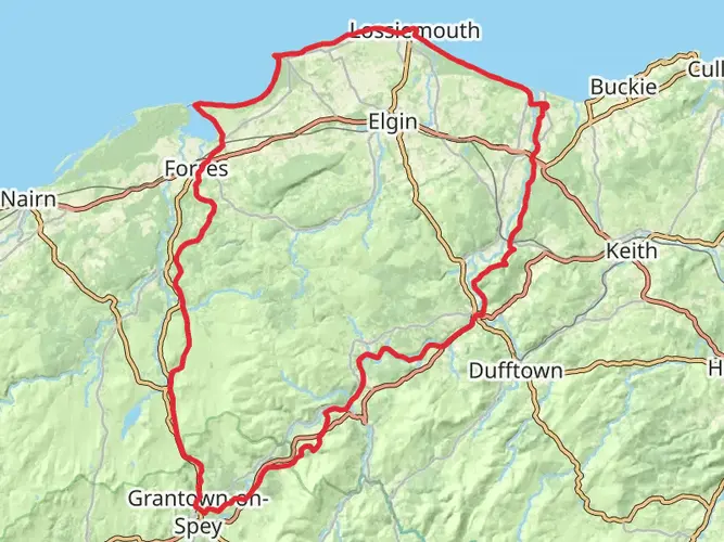
Moray Way
157.6 km · 2066 m
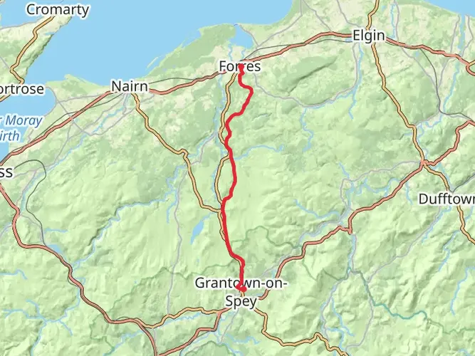
Dava Way
38.2 km · 319 m
Pond Trail via Lamington Woods
1.1 km · 16 m
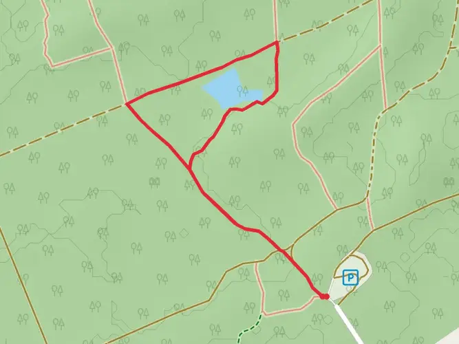
Gravel Pit Ponds Trail
1.8 km · 14 m
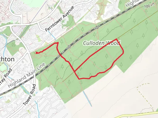
Culloden Wood Trail
3.3 km · 75 m
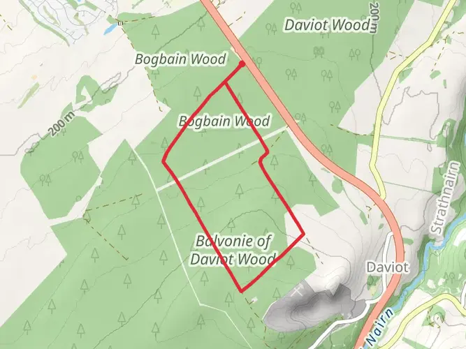
Daviot Wood Loop Trail
5.0 km · 69 m
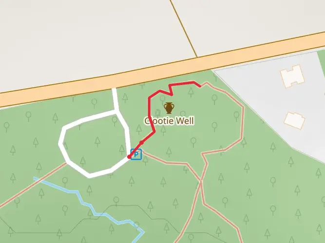
Clootie Well Trail
217 m · 5 m
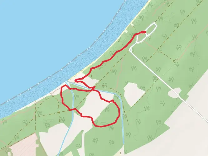
Millie Bothy Loop - Roseisle Country Park
2.8 km · 28 m
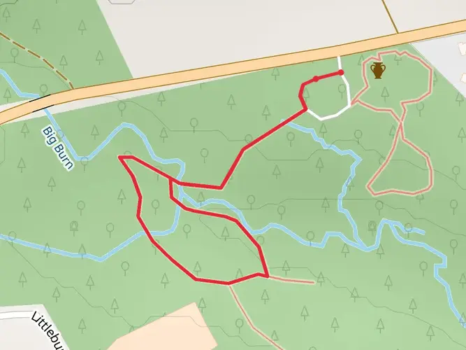
Woodland Loop via Big Burn
1.0 km · 10 m
Ice House Loop - Burghead Bay
2.0 km · 17 m
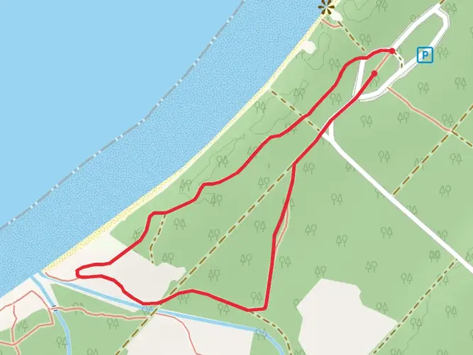
Roseisle Country Park Wildlife Loop Walk
4.0 km · 39 m
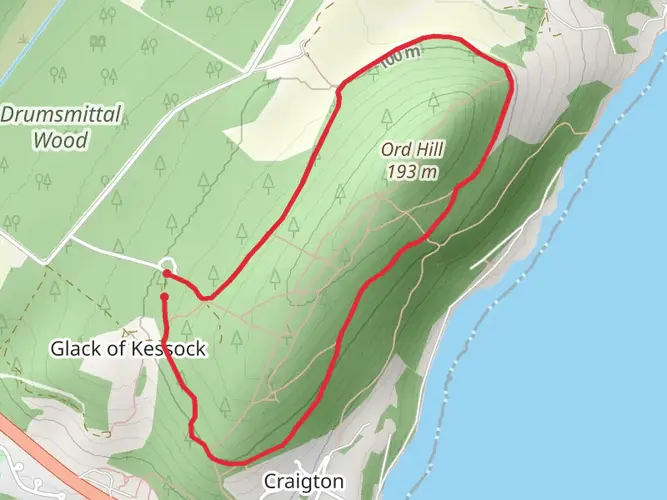
Ord Hill Loop Trail
2.5 km · 91 m
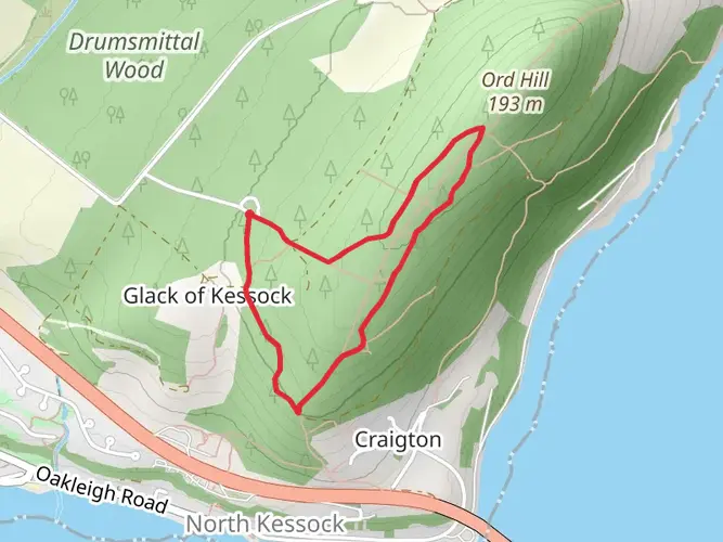
Kessock Bridge Viewpoint Loop - Moray Firth
3.8 km · 116 m
Nairn Beach and Whiteness Beach
17.0 km · 16 m
Continue in App
Continue in Browser
Choose which optional cookies and similar technologies HiiKER can use on this device. Privacy & cookie policy
Sign-in, security, checkout, support chat when you open it, and remembering these choices.
Google Analytics and PostHog (our own EU-hosted analytics) — which pages are visited and how features are used, so we can improve HiiKER.
Google Ads, Meta, Reddit and X pixels and Rewardful referral tracking — they tell those platforms when someone arrives from, or buys after, one of our ads or referrals. Turning this off opts you out of the "sale" or "sharing" of your personal information for targeted advertising.