Download
3D Flyover
Add to list
More
28.1 km
~2 days
474 m
Loop
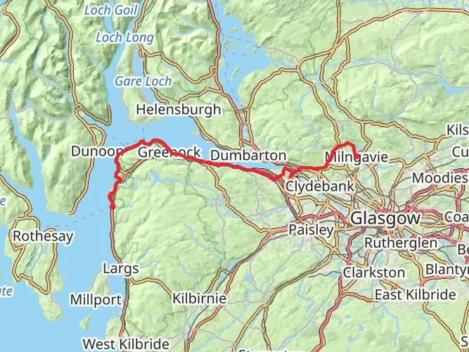
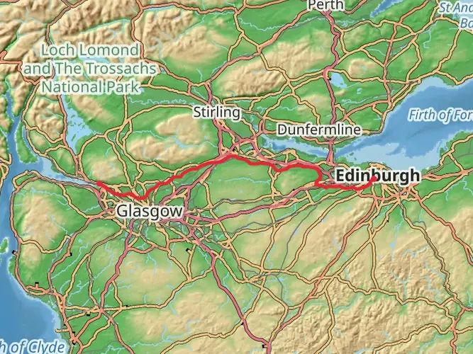
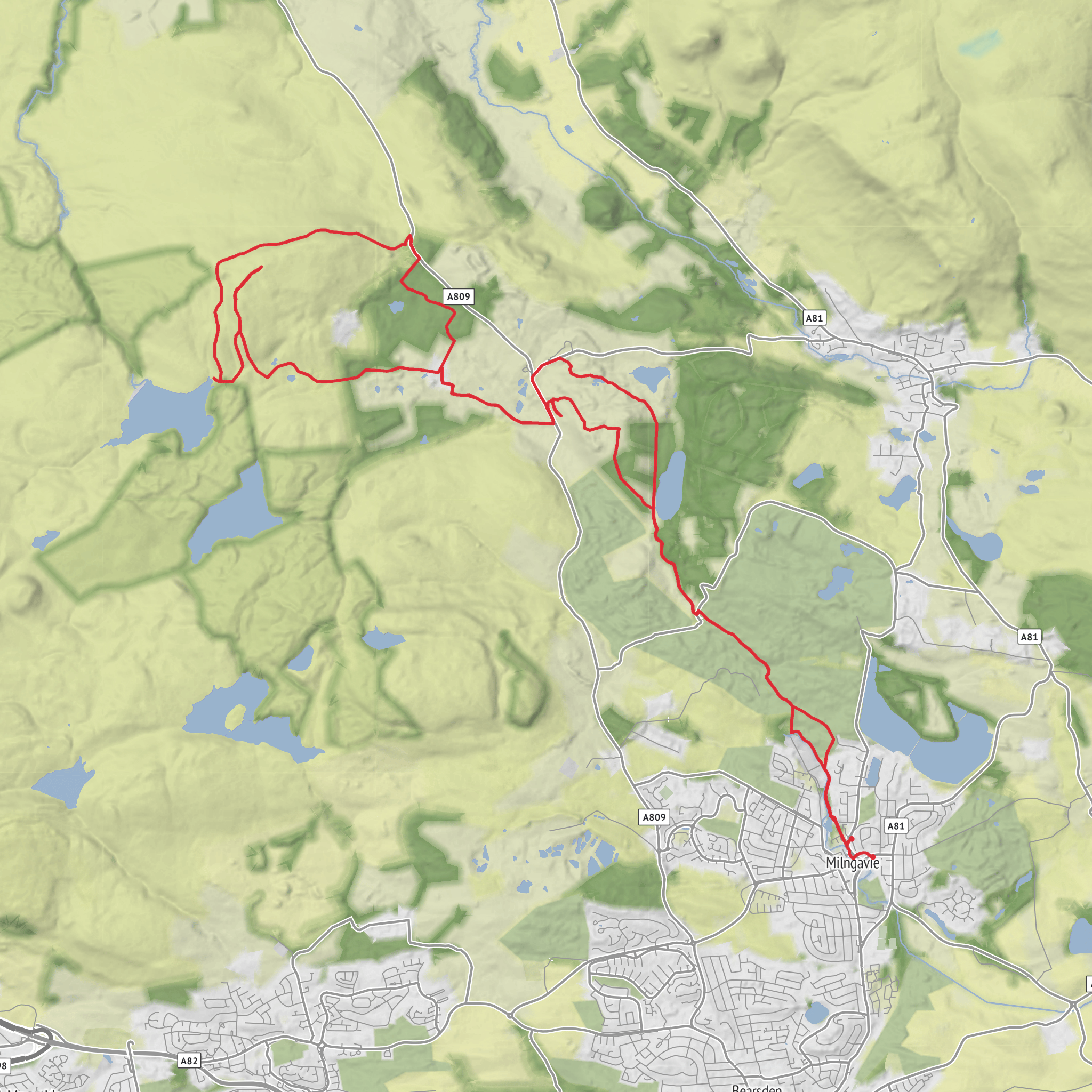
This easy day hike from Milngavie covers about 28 km with gentle rolling terrain. Expect moderate ups and downs, with roughly 480 m of elevation gain and 560 m of loss, but no steep or technical sections. The route explores the green outskirts of Milngavie, passing quiet residential areas, woodland paths, and open views, before looping back near the town. A good choice for a longer but relaxed walk with varied scenery and easy navigation.
AI Planner
Days planned around your pace, with somewhere to stay each night.
What to expect?
Surfaces
Unknown
Ground
Gravel
Asphalt
Fine Gravel
Grass
Compacted Gravel
Paved
Paving Stones
Unpaved
Comments and Reviews
User comments, reviews and discussions about the Hike from Milngavie, Scotland.
average rating out of 5
0 rating(s)