Download
3D Flyover
Add to list
More
22.6 km
~6 hrs 6 min
948 m
Point to Point
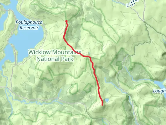
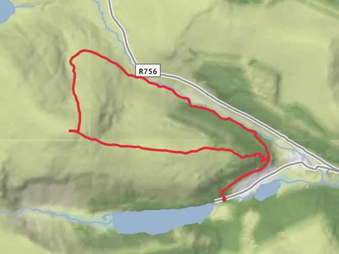
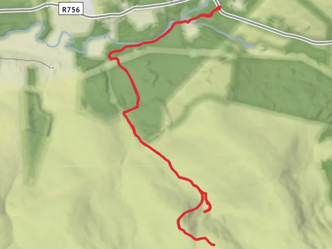
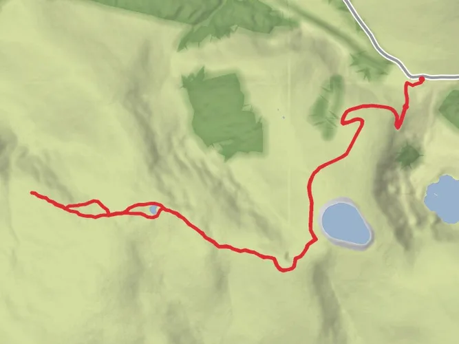
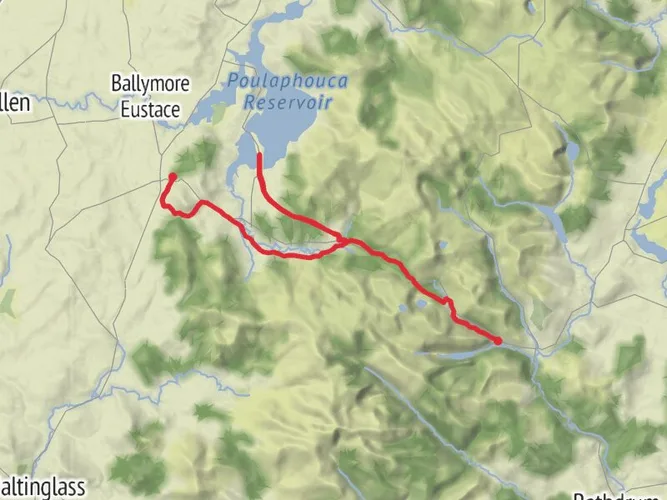
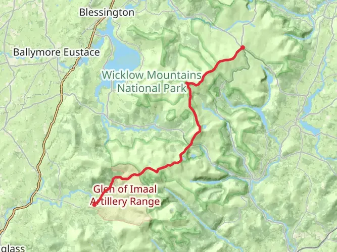
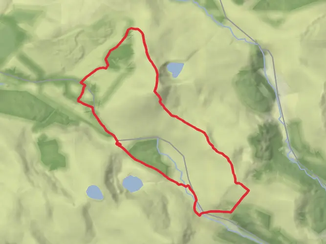
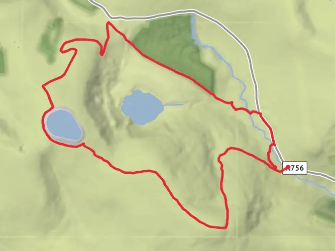
Embark on a captivating, single-day hike, "Wicklow Mountains National Park - Apr 24," known for its moderate difficulty. This journey, which covers a distance of 22.59 km, will transfix you with striking landscapes over a course lasting 366 minutes. You will start at the enchanting Wicklow Mountains Hike, Brockagh, Co. Wicklow, Ireland, and conclude at the historical Church of Our Lady of Mount Carmel, Blessington, Co. Wicklow, Ireland. Get ready for a rewarding elevation gain of 952 m and prepare to descend 1230 m. Enjoy the impressive scenery of Wicklow's wild, mountainous regions throughout this captivating venture.
AI Planner
Days planned around your pace, with somewhere to stay each night.

What to expect?
Surfaces
Unknown
Dirt
Unpaved
Grass
Asphalt
Gravel
Comments and Reviews
User comments, reviews and discussions about the Tonalagee to Sorrell Hill, Ireland.
average rating out of 5
0 rating(s)