Download
3D Flyover
Add to list
More
7.7 km
~2 hrs 19 min
475 m
Loop
“Embark on the scenic Lough Ouler and Tonelagee Loop, a journey through nature's splendor and Ireland's storied past.”
Lough Ouler and Tonelagee Loop
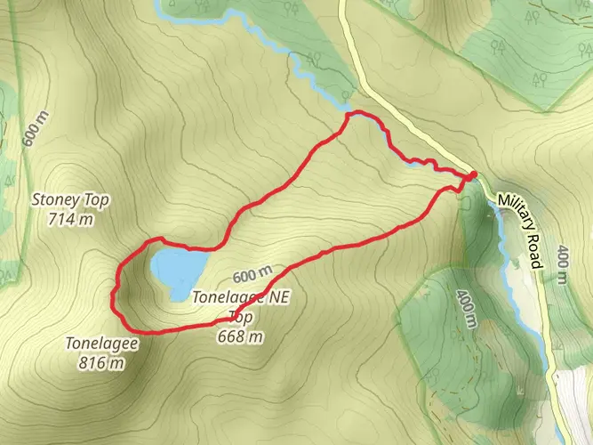
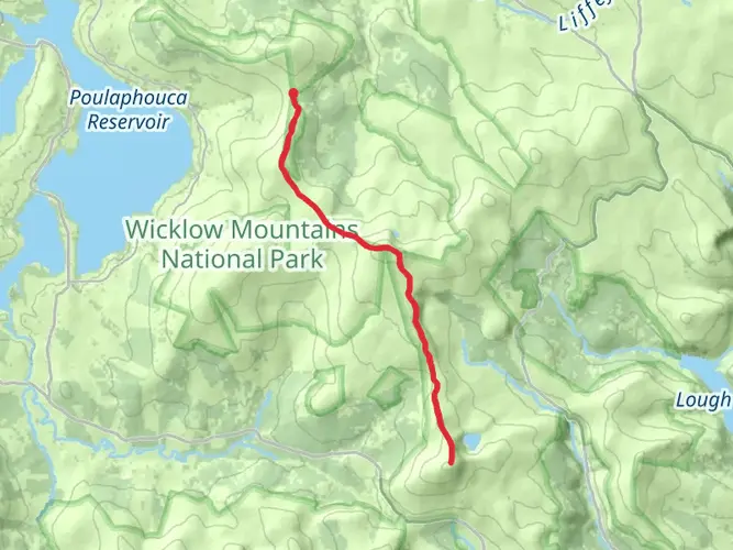
The Lough Ouler and Tonelagee Loop is a captivating trail that takes you through the heart of the Wicklow Mountains, offering a blend of scenic beauty, physical challenge, and a touch of Irish history. This loop is approximately 8 km (about 5 miles) long with an elevation gain of around 400 meters (roughly 1,312 feet), making it a medium difficulty hike suitable for those with a reasonable level of fitness.
Getting There
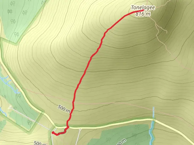
The trailhead is located near County Wicklow, Ireland, which is accessible by car or public transport. If driving, you can reach the starting point by taking the R756 road and then branching off onto the Wicklow Gap road where parking is available near the base of Tonelagee, which is the third highest mountain in Wicklow. For those opting for public transport, buses from Dublin to Glendalough are available, and from there, a taxi can be taken to the trailhead.
Navigating the Trail
Hikers can utilize the HiiKER app to navigate the trail, ensuring they stay on the correct path throughout their journey. The loop begins with a gradual ascent, winding through heather-clad hills and offering stunning views of the surrounding landscape. As you climb, the heart-shaped Lough Ouler, nestled at the foot of Tonelagee Mountain, comes into view, providing a picturesque backdrop for a rest or photo opportunity.
Wildlife and Nature
The area is rich in flora and fauna, with the possibility of spotting native wildlife such as red deer, foxes, and a variety of bird species. The trail also passes through areas of blanket bog, a type of peatland, which is an important ecosystem for carbon storage and biodiversity.
Historical Significance
The Wicklow Mountains are steeped in history, with evidence of ancient settlements and the remnants of the mining industry that once thrived here. As you hike, you may come across old miners' tracks and ruins, which are a testament to the area's past.
Safety and Preparation
Weather in the Wicklow Mountains can be unpredictable, so it's essential to be prepared with appropriate clothing, waterproof gear, and sufficient food and water. It's also advisable to inform someone of your hiking plans and expected return time.
The Lough Ouler and Tonelagee Loop is a trail that offers more than just a physical challenge; it's a journey through the natural beauty and history of Ireland's landscape. With careful preparation and a spirit of adventure, hikers will find this loop to be a rewarding experience.

What to expect?
Activity types
Surfaces
Unknown
Unpaved
Comments and Reviews
User comments, reviews and discussions about the Lough Ouler and Tonelagee Loop, Ireland.
4.73
average rating out of 5
75 rating(s)