Download
3D Flyover
Add to list
More
Trail length
10.9 km
Time
~2 hrs 56 min
Elevation Gain
461 m
Hike Type
Loop
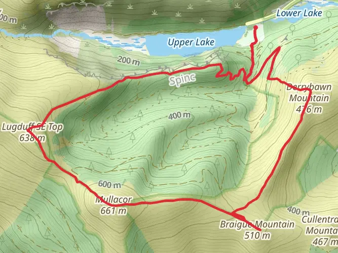
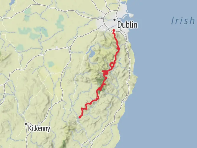
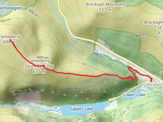
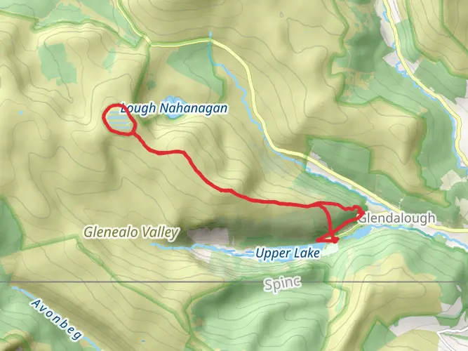
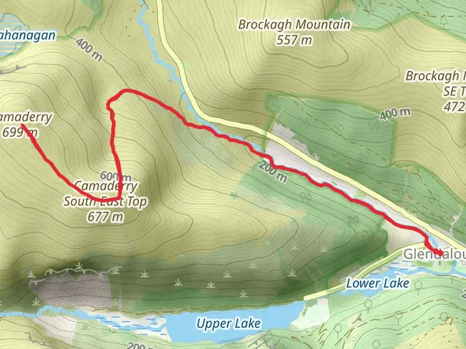
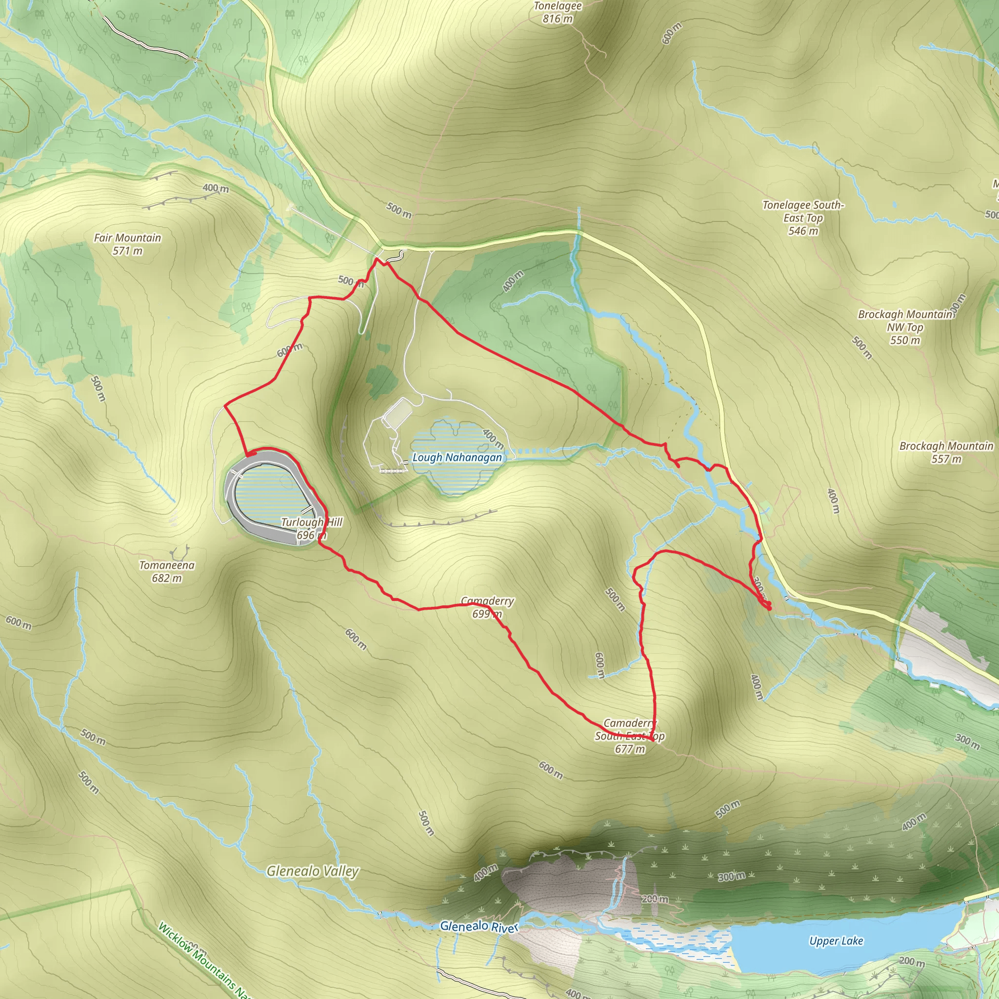
Challenging 10.9 km loop in County Wicklow with steep climbs and long sustained gradients, gaining about 461 m and losing 491 m over roughly 3 hours. The route starts and finishes near Knockanarrigan, exploring classic Wicklow uplands with open views of rounded hills, forest patches, and distant valleys. Expect rough, sometimes boggy ground and exposed sections, suitable for experienced hikers with good fitness and navigation.
Created by
WicklowWanderer
Surfaces
Unknown
Dirt
Asphalt
Grass
Gravel
Unpaved
Comments and Reviews
User comments, reviews and discussions about the Camaderry Loop, Ireland.
average rating out of 5
0 rating(s)