Download
3D Flyover
Add to list
More
26.8 km
~2 days
1379 m
Loop
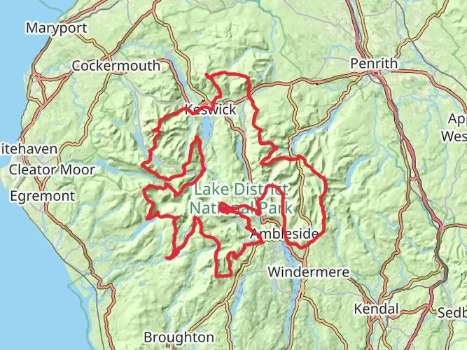
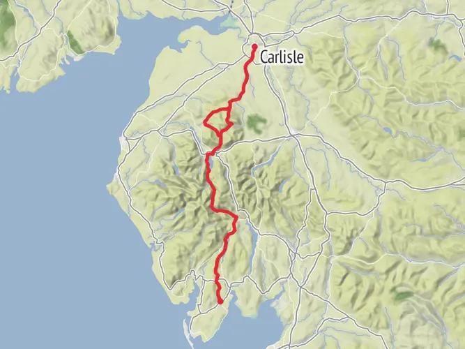
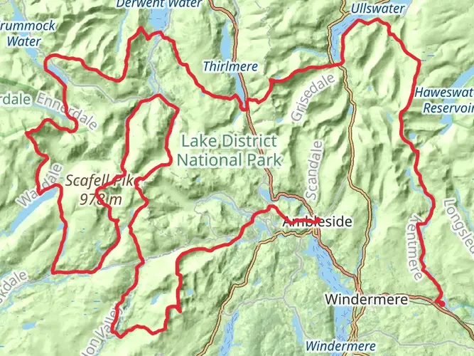
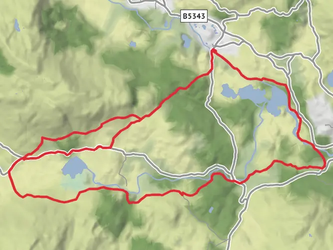
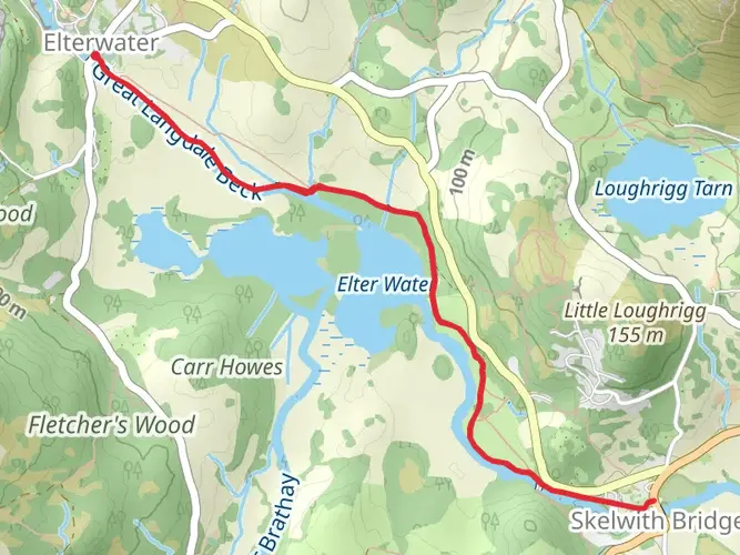
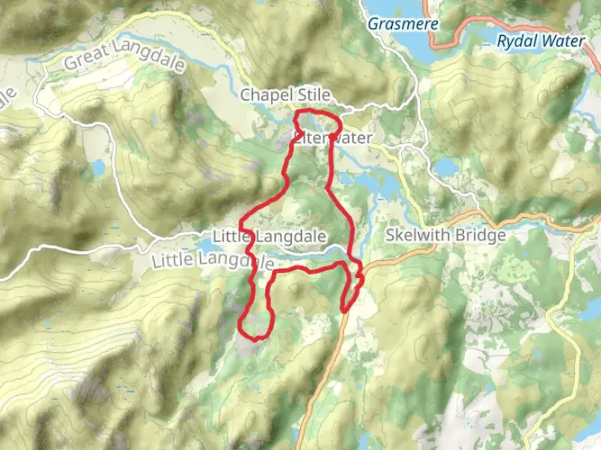
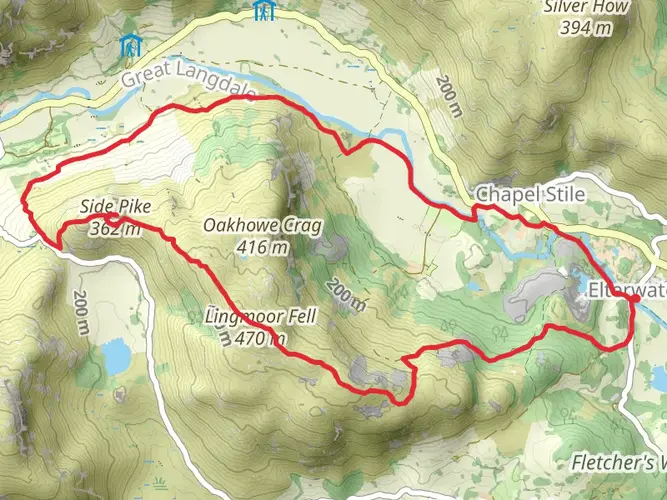
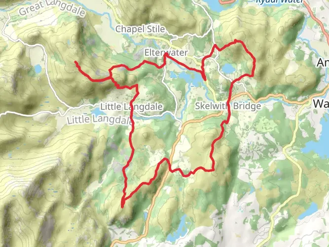
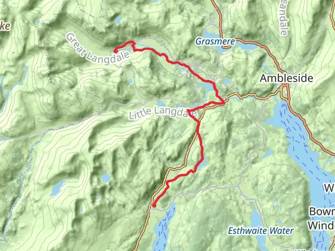
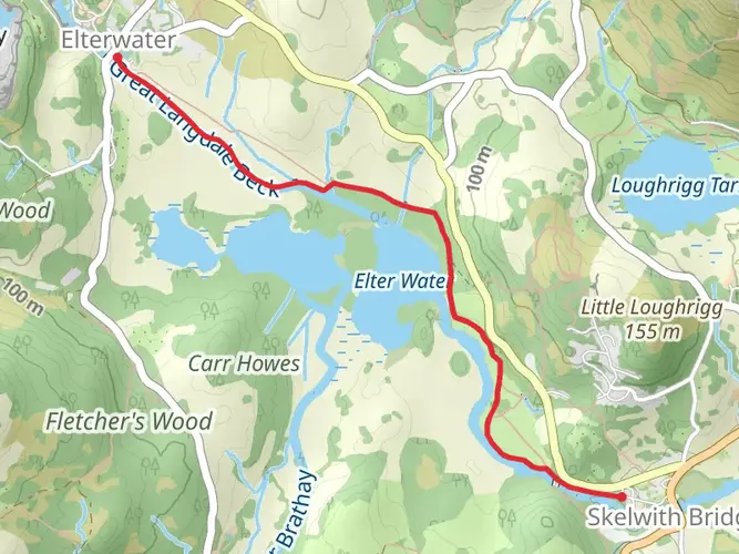
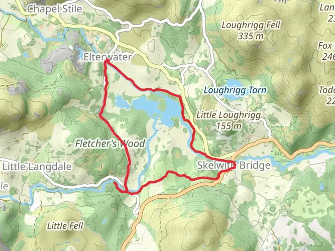
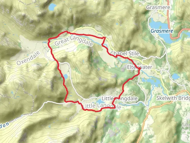
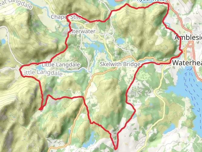
Embrace a challenging yet rewarding adventure on May 12 with a medium-difficulty hike through the stunning landscape of Lake District National Park. Covering a distance of 26.77 km in around 459 minutes, this journey offers breathtaking panoramas and a sturdy workout. Expect to climb 1381 m through varied terrains, experiencing nature in all its mesmerizing beauty, while decompressing during a 1238 m descent. Beginning and ending at the enchanting Ambleside in England's United Kingdom, this one-day circular route is a kaleidoscope of nature's splendour, personalised for those seeking the union of excitement, endurance and scenery.
AI Planner
Days planned around your pace, with somewhere to stay each night.

Surfaces
Unknown
Gravel
Fine Gravel
Asphalt
Ground
Grass
Compacted Gravel
Comments and Reviews
User comments, reviews and discussions about the Great Langdale to Easedale Tarn, England.
average rating out of 5
0 rating(s)