Download
3D Flyover
Add to list
More
9.0 km
~1 hrs 56 min
83 m
Point to Point
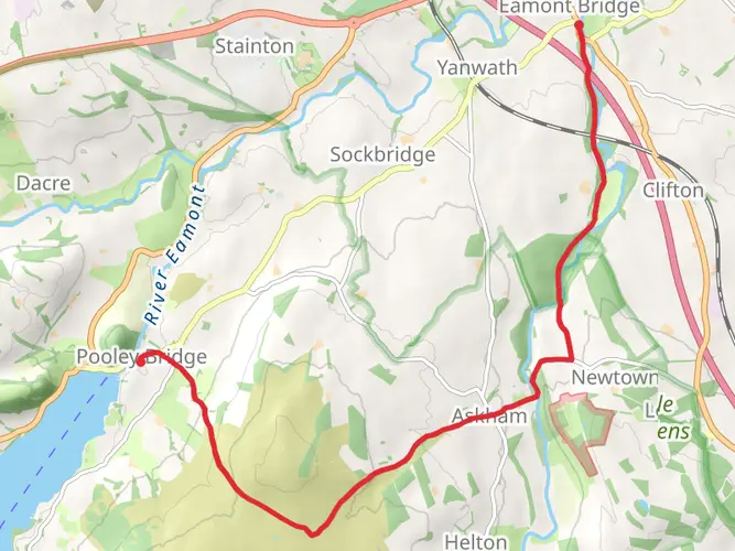
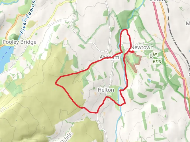
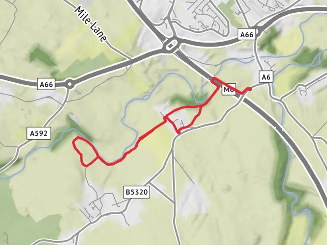
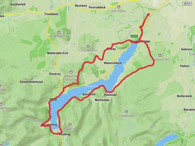
An easy low level walk from Penrith Railway Station to Pooley Bridge. After a short lived section alongside busy roads as you leave Penrith, the path dives into a wood and then follows quiet field tracks to Sockbridge where an easy diversion can be made to the pub in Tirrel if required. A walled track then leads to a short road section with a good pavement and latterly a field side path. The trail then leaves to cross fields with wonderful views opening up to Lakeland. The path exits near The Sun in Pooley Bridge and if desired you can continue to the Jetty. Very well signposted throughout. If doing in return there are fantastic views over to The Pennines.

What to expect?
Surfaces
Unknown
Asphalt
Ground
Grass
Unpaved
Paving Stones
Compacted Gravel
Comments and Reviews
User comments, reviews and discussions about the Eamont Way, England.
average rating out of 5
0 rating(s)