Download
Preview
Add to list
More
17.2 km
~3 hrs 58 min
324 m
Loop
“Explore historic landmarks and stunning vistas on this 17 km loop trail with moderate elevation gains.”
Starting near Westmorland and Furness in England, this 17 km (approximately 10.5 miles) loop trail offers a moderate challenge with an elevation gain of around 300 meters (about 984 feet). The trailhead is conveniently accessible by both car and public transport. If you're driving, you can park near the Penrith railway station, which is a well-known landmark in the area. For those using public transport, Penrith railway station is well-connected, making it an ideal starting point.
Trail Overview
The trail begins with a gentle ascent through lush meadows and rolling hills, offering panoramic views of the surrounding countryside. Early on, you'll pass through the quaint village of Eamont Bridge, where you can take a moment to admire the historic Eamont Bridge itself, dating back to the 15th century. This area is rich in history, with nearby Mayburgh Henge and King Arthur's Round Table adding to the allure.
Flora and Fauna
As you continue, the trail meanders through a mix of woodland and open fields. Keep an eye out for local wildlife, including red squirrels, deer, and a variety of bird species. The diverse plant life ranges from ancient oak trees to vibrant wildflowers, depending on the season.
Mid-Trail Highlights
Around the halfway mark, you'll reach the scenic Inglewood Bank. This section offers some of the most stunning views of the hike, with expansive vistas of the Eden Valley and the distant Pennines. The elevation gain here is more noticeable, but the well-maintained path makes the climb manageable.
Historical Significance
The region is steeped in history, with remnants of Roman roads and medieval structures scattered along the route. One notable landmark is the ruins of Brougham Castle, which you can detour to explore. Built in the early 13th century, the castle offers a glimpse into the area's feudal past.
Navigation and Safety
For navigation, it's highly recommended to use the HiiKER app, which provides detailed maps and real-time updates. The trail is well-marked, but having a reliable navigation tool ensures you stay on track, especially in the more remote sections.
Final Stretch
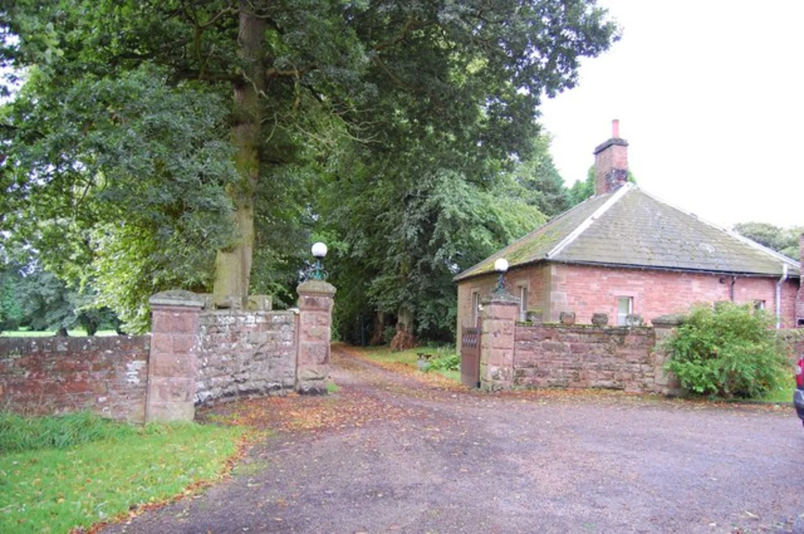
The final leg of the loop takes you back towards Penrith, descending gradually through picturesque farmland and along the banks of the River Eamont. This section is relatively flat, providing a relaxing end to your hike. As you approach the trailhead, you'll pass through the charming village of Clifton, where you can visit the Clifton Hall and its beautiful gardens.
This loop walk offers a perfect blend of natural beauty, historical intrigue, and moderate physical challenge, making it an excellent choice for hikers looking to explore the scenic and historic landscapes of Westmorland and Furness.

What to expect?
Activity types
Comments and Reviews
User comments, reviews and discussions about the Penrith to Inglewood Bank Loop Walk, England.
average rating out of 5
0 rating(s)