Download
3D Flyover
Add to list
More
14.1 km
~3 hrs 17 min
285 m
Loop
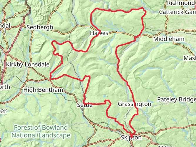
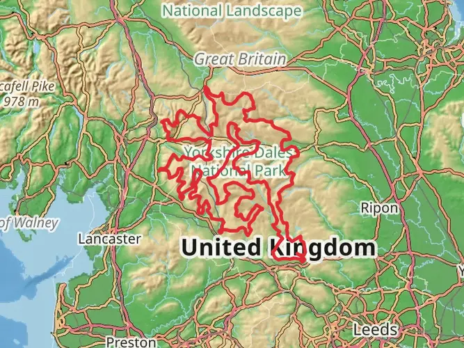
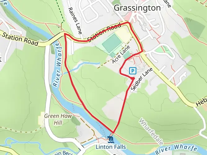
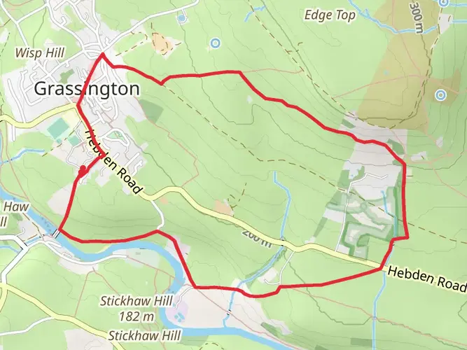
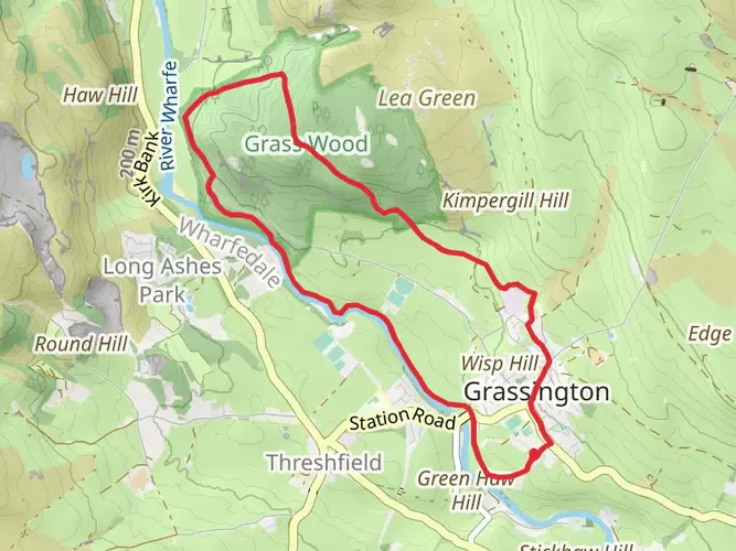
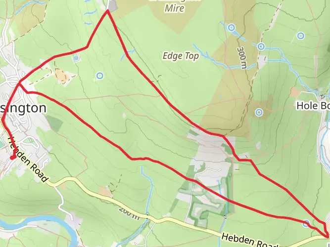
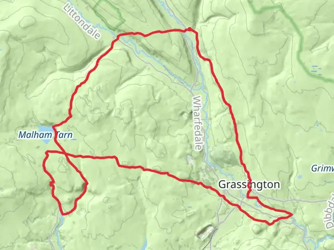
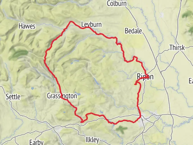
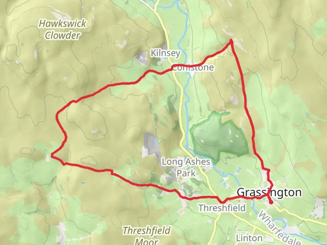
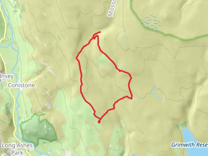
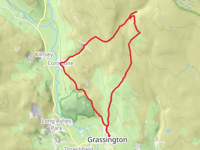
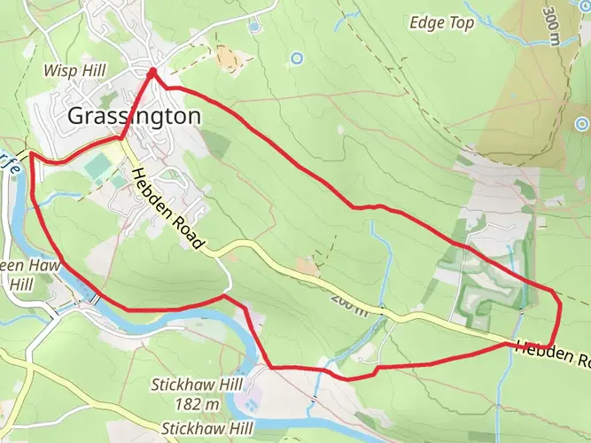
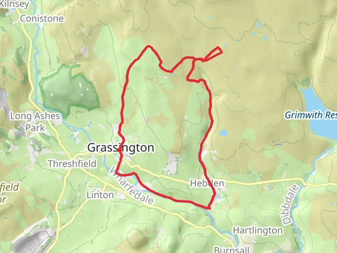
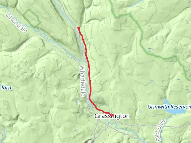
Embark on a thrilling medium-difficulty hike through the exquisite landscapes of Yorkshire Dales National Park, aptly planned for April 25th. This engaging trail spans 14.07 km and is designed to be completed in approximately 198 minutes, making for an invigorating single-day excursion. The journey integrates an elevation gain of 295 m and a decline of 348 m, delivering a dynamic hiking experience. Starting at 13A Main Street in charming Skipton, England, your adventure concludes at the serene Honeysuckle Cottage, also within Skipton's bounds. Discover the natural grandeur of United Kingdom's classic rolling greens as they unfold around every bend along this meticulously devised hiking route.

What to expect?
Surfaces
Unknown
Ground
Asphalt
Compacted Gravel
Dirt
Grass
Paved
Unpaved
Comments and Reviews
User comments, reviews and discussions about the Grassington - Conistone - Kilnsey - Linton, England.
5.0
average rating out of 5
1 rating(s)