Download
3D Flyover
Add to list
More
16.2 km
~4 hrs 1 min
478 m
Loop
“Discover the Milking Hill and Bycliffe Loop: a 16 km trail of scenic beauty and historical intrigue.”
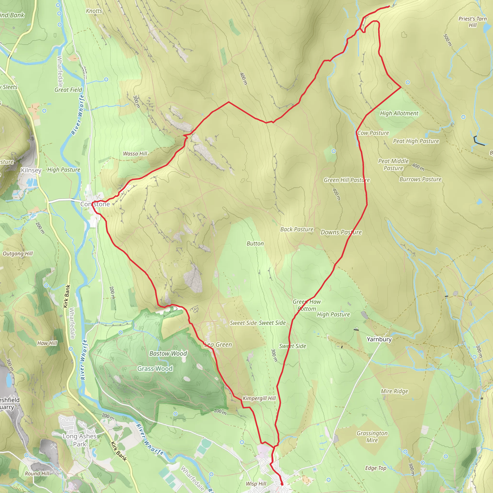
Starting near North Yorkshire, England, the Milking Hill and Bycliffe Loop is a captivating 16 km (approximately 10 miles) trail with an elevation gain of around 400 meters (about 1,312 feet). This loop trail is rated medium in difficulty, making it suitable for moderately experienced hikers.
Getting There
To reach the trailhead, you can drive or use public transport. If driving, set your GPS to the nearest known address: the village of Osmotherley, North Yorkshire. There is a small car park available in the village. For those using public transport, the nearest train station is Northallerton, from where you can take a bus or taxi to Osmotherley.
Trail Overview
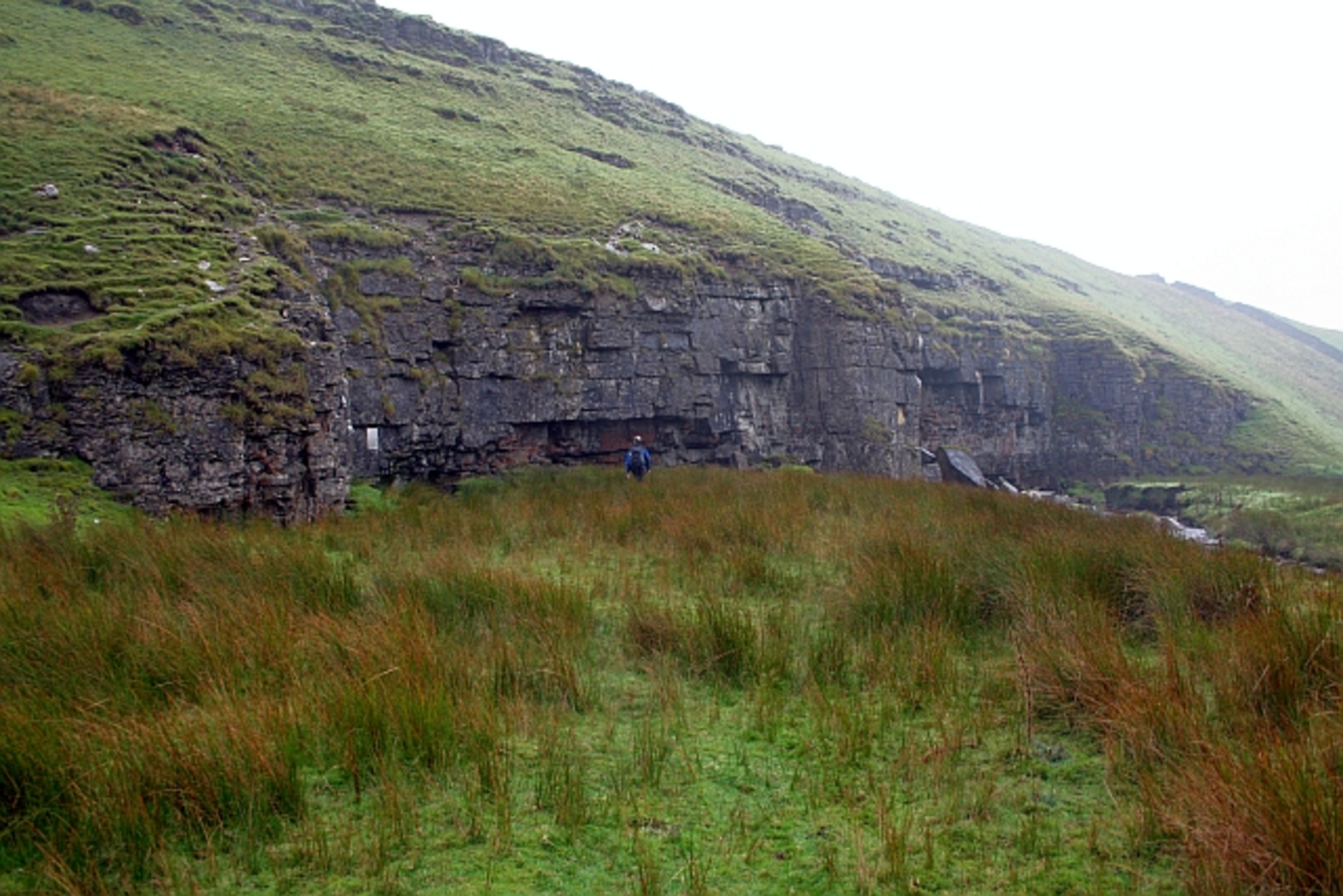
The trail begins in the charming village of Osmotherley, known for its quaint stone cottages and historic church. As you set off, you'll quickly find yourself immersed in the serene beauty of the North York Moors National Park.
Key Sections and Landmarks
Osmotherley to Milking Hill
The initial stretch from Osmotherley to Milking Hill covers approximately 5 km (3.1 miles) and involves a gradual ascent. The path is well-marked and takes you through lush woodlands and open fields. Keep an eye out for local wildlife such as deer and various bird species. The ascent to Milking Hill offers panoramic views of the surrounding countryside, making it a perfect spot for a short break.
Milking Hill to Bycliffe
From Milking Hill, the trail continues for another 6 km (3.7 miles) towards Bycliffe. This section is relatively flat and takes you through a mix of moorland and farmland. The landscape here is dotted with ancient stone walls and farmhouses, some of which date back several centuries. The area is rich in history, with remnants of old mining activities visible along the way.
Bycliffe to Osmotherley
The final 5 km (3.1 miles) loop back to Osmotherley involves a descent through more wooded areas and open fields. This section can be a bit muddy after rain, so appropriate footwear is recommended. As you approach Osmotherley, you'll pass by Cod Beck Reservoir, a popular spot for birdwatching and picnicking.
Navigation and Safety
For navigation, it is highly recommended to use the HiiKER app, which provides detailed maps and real-time updates. The trail is generally well-marked, but having a reliable navigation tool can be invaluable, especially in foggy or low-visibility conditions.
Historical Significance
The region around Osmotherley has a rich history, with evidence of human settlement dating back to the Iron Age. The village itself has historical landmarks such as the Church of St. Peter, which has origins in the 11th century. The trail also passes near the site of the Battle of Byland, a significant conflict during the First War of Scottish Independence in 1322.
Flora and Fauna
The trail offers a diverse range of flora and fauna. In the woodlands, you'll find oak, ash, and beech trees, while the moorlands are covered in heather and gorse. Wildlife enthusiasts can spot red grouse, lapwings, and even the occasional fox or badger.
Preparation Tips
Given the medium difficulty rating, ensure you are adequately prepared with sturdy hiking boots, weather-appropriate clothing, and sufficient water and snacks. The trail can be completed in a day, but starting early will give you ample time to enjoy the scenery and take breaks as needed.
This trail offers a perfect blend of natural beauty, historical intrigue, and moderate physical challenge, making it a rewarding experience for any hiker.
What to expect?
Activity types
Comments and Reviews
User comments, reviews and discussions about the Milking Hill and Bycliffe Loop, England.
4.67
average rating out of 5
6 rating(s)
