Download
3D Flyover
Add to list
More
14.7 km
~3 hrs 45 min
486 m
Loop
“Traverse Gragareth to Great Coum's rugged peaks, encountering wildlife, historical relics, and breathtaking vistas on this Yorkshire Dales adventure.”
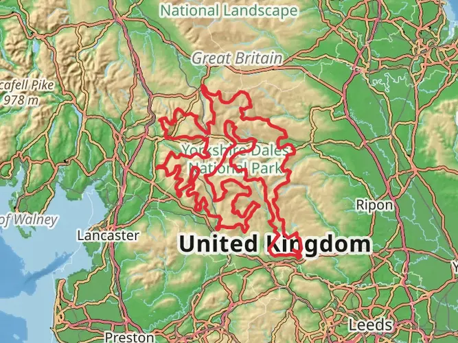
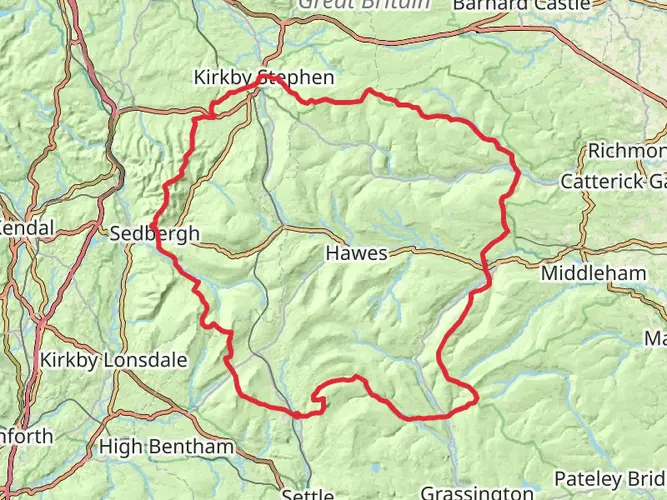
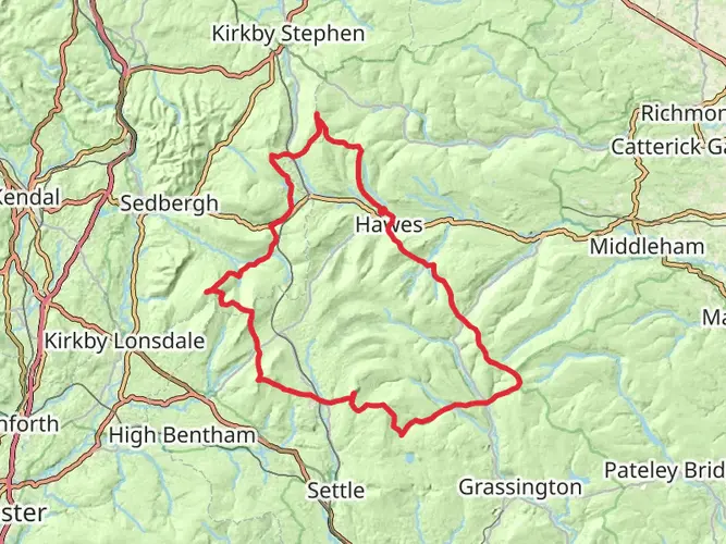
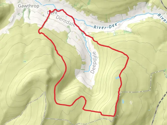
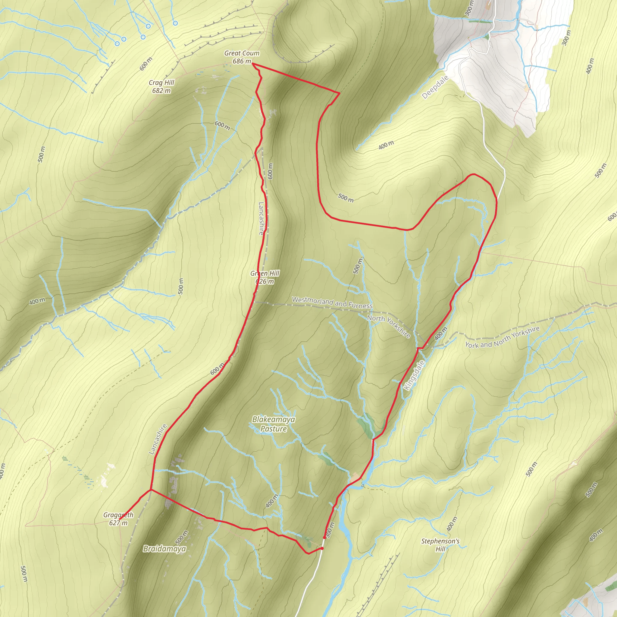
Embarking on the Gragareth and Great Coum trail from Yordas Cave near Ingleton, hikers can anticipate a journey of approximately 15 kilometers (around 9.3 miles) with an elevation gain of roughly 400 meters (about 1312 feet). This loop trail, nestled in the scenic landscape of North Yorkshire, England, is rated as medium difficulty, offering a blend of challenging and rewarding experiences.
Getting to the Trailhead
The trailhead is accessible by car, with parking available near Yordas Cave, which is a significant landmark in the area. For those using public transport, the nearest bus stops are in the village of Ingleton, from where you can start your hike or catch a local taxi to the trailhead.
The Journey Begins
Setting out from the vicinity of Yordas Cave, a notable limestone cave system with impressive geological formations, hikers will follow the path that leads towards the slopes of Gragareth. The initial ascent is steady, allowing you to warm up as you take in the surrounding views of the Yorkshire Dales.
Landmarks and Scenery
As you ascend Gragareth, the highest point in Lancashire, you'll be treated to panoramic views of the surrounding countryside. The trail continues towards the summit, where on a clear day, the Lake District and Morecambe Bay might be visible in the distance.
Wildlife and Flora
The area is rich in wildlife, with opportunities to spot a variety of birds, including birds of prey such as the peregrine falcon. The flora along the trail changes with the seasons, offering a display of wildflowers in spring and summer, while the autumn brings a palette of warm colors to the landscape.
Historical Significance
The region is steeped in history, with evidence of ancient settlements and farming practices visible along the route. Stone walls and old lime kilns dot the landscape, serving as a reminder of the area's agricultural past.
Great Coum
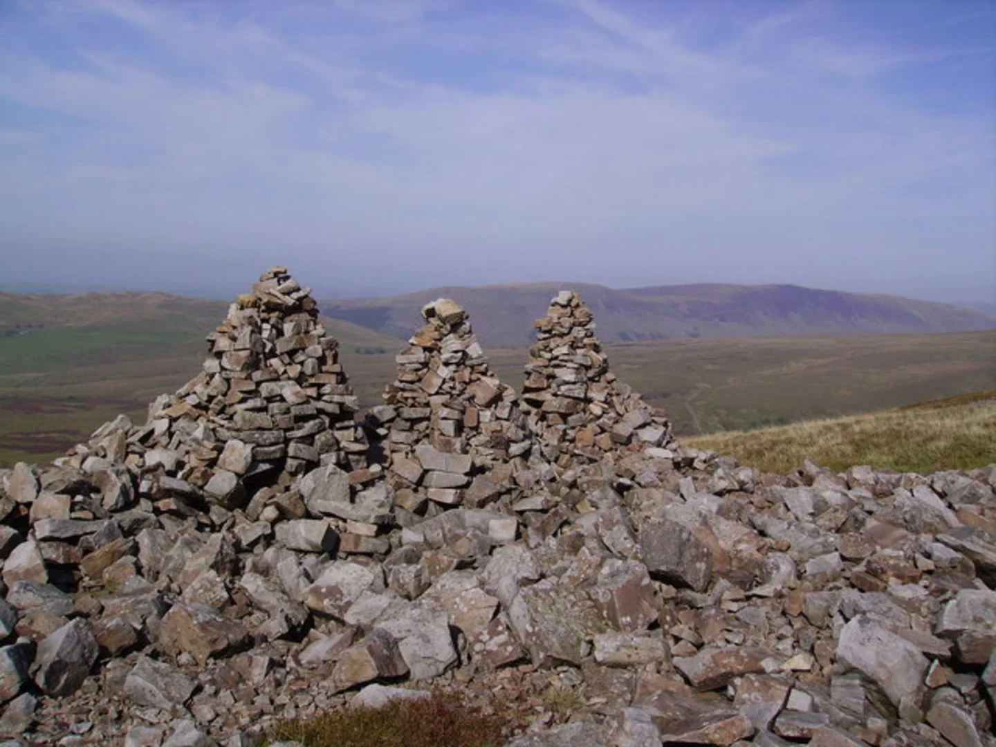
After reaching the summit of Gragareth, the trail meanders towards Great Coum, another prominent peak in the area. The path here can be rocky, so careful footing is advised. The ascent to Great Coum's summit is less steep, and from the top, hikers can enjoy views of Dentdale and the Howgill Fells.
Descent and Return
The descent from Great Coum is gradual, leading back towards the starting point. The loop concludes with a gentle walk through the valley, where the sound of streams and the sight of grazing sheep accompany you as you reflect on the journey.
Navigation
For navigation, hikers are encouraged to use the HiiKER app, which provides detailed maps and trail information to ensure you stay on the right path.
Preparation and Planning
Before setting out, ensure you have appropriate gear for the weather conditions, including waterproof clothing and sturdy hiking boots. It's also wise to carry a map, compass, and sufficient food and water for the hike. Always check the weather forecast and be prepared for changes in conditions, especially in the higher elevations where it can be more unpredictable.
Remember to respect the natural environment by following the Leave No Trace principles, keeping to the marked paths, and taking all litter back with you. This helps preserve the beauty and integrity of the landscape for future visitors.
What to expect?
Activity types
Comments and Reviews
User comments, reviews and discussions about the Gragareth and Great Coum from Yordas Cave - Ingleton, England.
5.0
average rating out of 5
2 rating(s)