Search a hike or location

search
GET PRO+
Share:

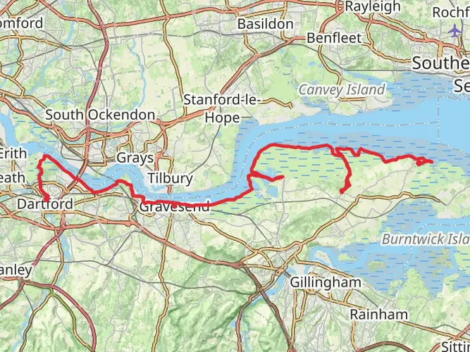
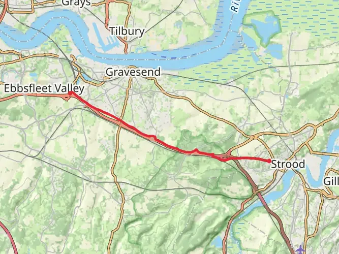
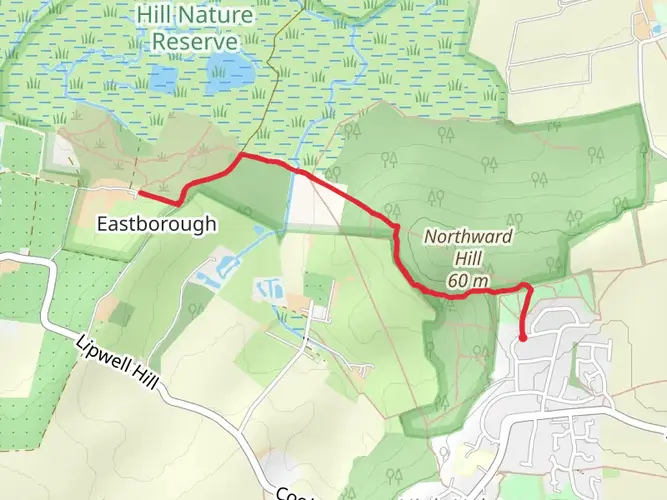
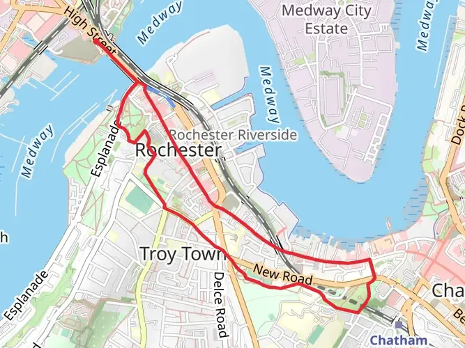
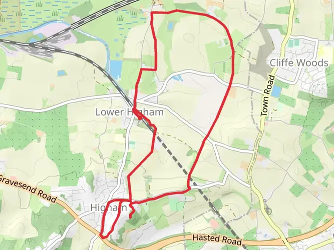
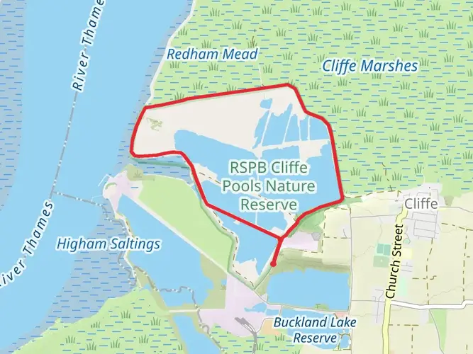
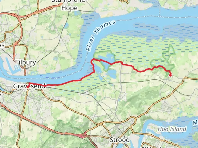
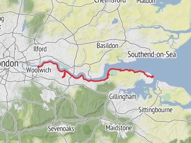
An image depicting the trail Saxon Shore Way - Cliffe to Strood and its surrounding area.
star (0) · Easy

Saxon Shore Way - Cliffe to Strood

Medway, England

Photos (10)
arrow_circle_down

Download

play_arrow

3D Flyover

bookmark_border

Add to list


Trail length

20.9 km

Time

~4 hrs 25 min

Elevation Gain

151 m

Hike Type

Point to Point

Hiking Mark avatar
Created by Hiking Mark

AI Planner

Days planned around your pace, with somewhere to stay each night.

What to expect?

Historic Landmarks
Wildlife
Scenic Views
Rivers

Surfaces

info

Unknown

73% · 15.6km

Asphalt

25% · 5.32km

Dirt

1.9% · 0.4km

Comments and Reviews

User comments, reviews and discussions about the Saxon Shore Way - Cliffe to Strood, England.

star

average rating out of 5

0 rating(s)

View Map

Saxon Shore Way - Cliffe to Strood mobile static map

Nearby Hikes

Choose which optional cookies and similar technologies HiiKER can use on this device. Privacy & cookie policy