Download
3D Flyover
Add to list
More
19.2 km
~4 hrs 3 min
129 m
Point to Point
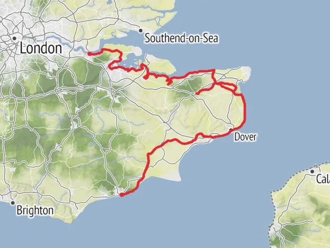
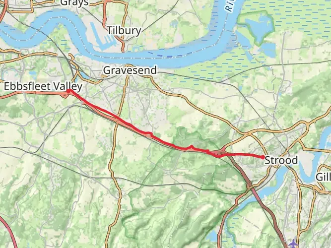
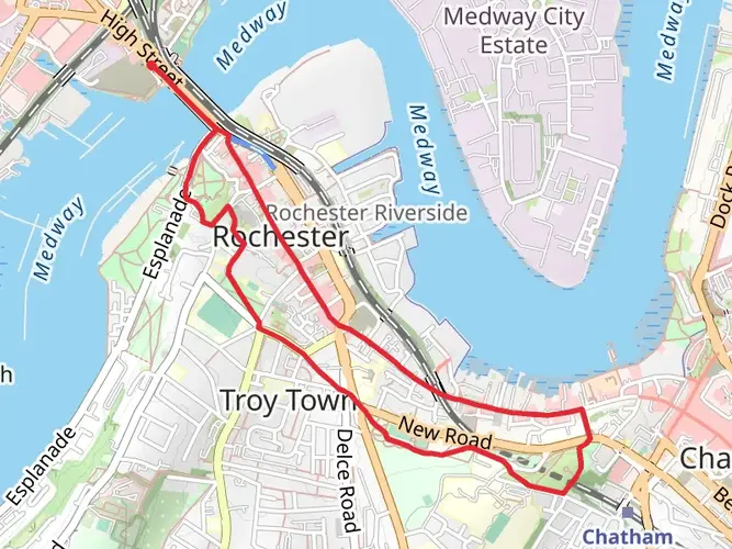
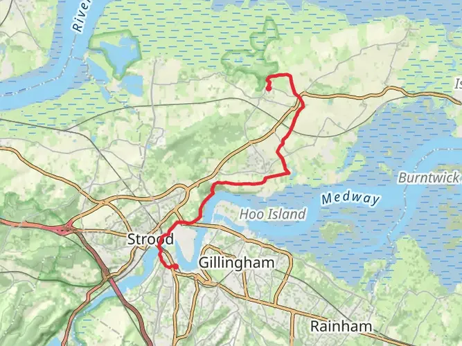
Starting from Strood, this section of the Saxon Shore Way is mainly through the Medway towns, with part of it along the Medway Estuary. It's a fairly easy walk with no major hills. Took a short detour off the path to see the Chatham Naval memorial on the Great Lines. Finished off with a short walk to Rainham Station to catch the train back, although not before a pint in the Railway pub next door before my train was due.

AI Planner
Days planned around your pace, with somewhere to stay each night.

What to expect?
Surfaces
Unknown
Asphalt
Paving Stones
Paved
Cobblestone
Comments and Reviews
User comments, reviews and discussions about the Saxon Shore Way - Strood to Rainham, England.
average rating out of 5
0 rating(s)